Transform Your Digital Delivery | NEW Leica Nova MS60 MultiStation
Categories:
Tags:
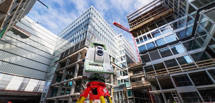
The all NEW Leica Nova MS60 Multistation has arrived! The new model takes the Leica MS60 to the next level with the addition of several new features which transform this MultiStation into the ultimate all-rounder automatically and continuously adapting to any environment regardless of the challenges.
The New Leica Nova… Read More
Designed for Flexibility | Leica Rugby Upgradable Lasers
Categories:
Tags:
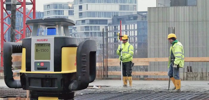
The revolutionary and unique design of the Leica Rugby Upgradable Lasers enables users to gain maximum performance and functionality without the need to purchase a separate model in the future.
Leica Rugby Upgradable Lasers are also designed for superior durability, ease of use, and rugged performance on construction sites.
Designed… Read More
eBee X Survey Drone: Maximise Your Aerial Mapping Efficiency
Categories:
Tags:
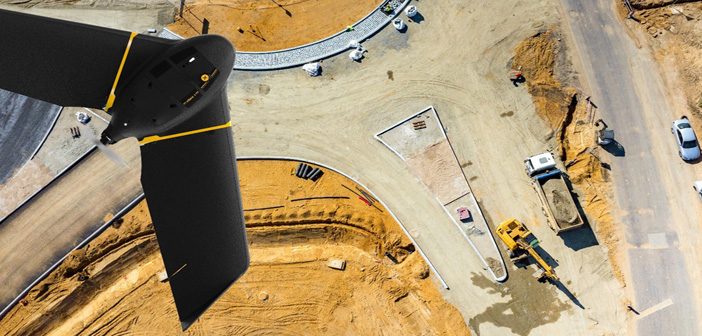
The senseFly eBee X survey drone should be added to every aerial surveyor’s toolkit! Its fixed-wing design with high spec features provide an all-in-one solution to everyday aerial surveying needs. It is designed to deliver maximum efficiency by addressing common issues such as time constraints, weather predicaments and safer access… Read More
Protect Your Total Station with Leica LOC8
Categories:
Tags:
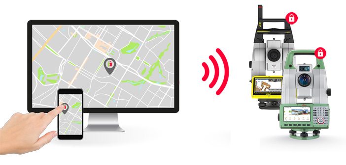
Introducing the new Leica LOC8 essential security feature for Leica Total Stations.
Leica LOC8 is a positioning, tracking and locking solution for Leica total stations that enables the user to remotely track and lock instruments on demand.
With this feature users can remotely lock and unlock their total stations, receive… Read More
eBee Drones Now Available from Global Survey!
Categories:
Tags:
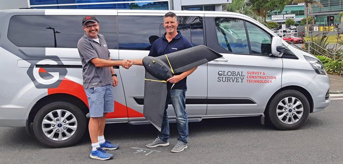
We’re pleased to announce that Global Survey has officially become the New Zealand distributor for senseFly eBee drones.
“We are excited to partner with senseFly, a well-established and proven Swiss drone manufacturer, to offer the eBee fixed wing drones to New Zealand customers. The eBee survey-grade drones are an easy-to-use… Read More
Nedo Tripod – Taking Laser Scanning To New Heights & Depths
Categories:
Tags:
We’ve expanded our Laser Scanning Hire Fleet with the addition of the Nedo Industrial Shaft Tripod. The Nedo Tripod is designed for raising or lowering a laser scanner to otherwise inaccessible locations and is compatible with the Leica RTC360, Leica BLK360 and Leica P Series scanners.
The Nedo Tripod enables… Read More
Finding Survey Marks Faster with Leica Captivate & WMS
Categories:
Tags:
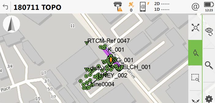
Ask any Surveyor “How long does it take you to find old survey marks?” and the answer is always “Too long!”.
Our Survey Team have been testing a new faster way of finding survey marks in the latest version of Leica Captivate. With the release of Leica Captivate version 4.5… Read More
Laser Scanning Just Got Even Easier – Leica Cyclone Field360 App
Categories:
Tags:
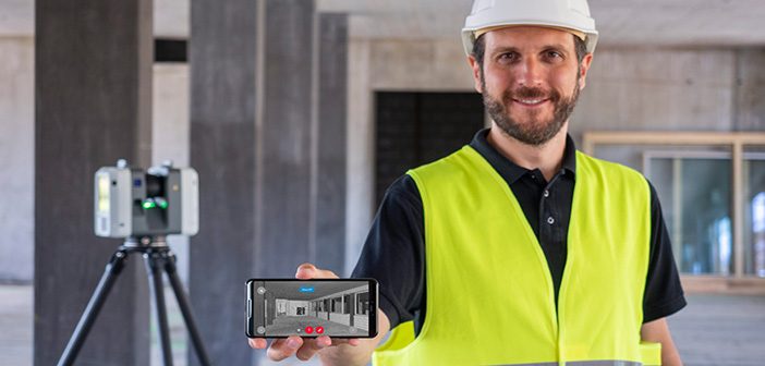
The latest version of the Leica Cyclone FIELD 360 mobile app streamlines field data and documentation with post-processing activity, making your reality capture experience powerfully efficient, accurate and flexible. It is fully compatible with the Leica RTC360 / Leica RTC360 LT and the Leica BLK360 laser scanners and is now… Read More
SmartFix RTK Reference Station Network – Full Site List
Categories:
Tags:
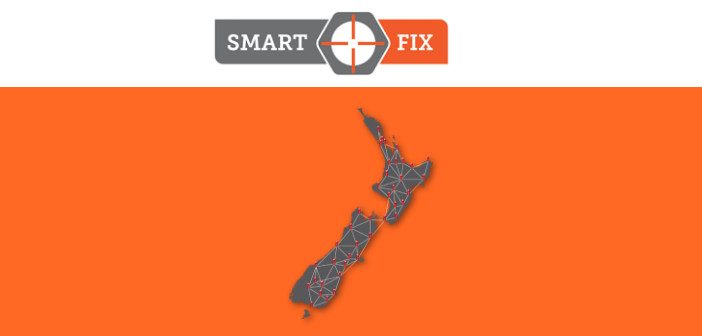
SmartFix is NZ’s most extensive reference station network that is continually growing, we’re well on the way to achieving our mission of 100% NZ coverage.
SmartFix RTK Reference Station Network delivers:
cm level real-time kinematic corrections in NZGD2000
post-processing solutions
sub-meter GIS corrections
Providing a real-time kinematic (RTK) correction service… Read More
WEBINAR: What’s New in Leica Cyclone 3DR
Categories:
Tags:
What’s new in Leica Cyclone 3DR, the all-in-one deliverable solution
Leica Cyclone 3DR is a seamless extension of the Cyclone product family which works hand in hand to take users from field data collection with Cyclone FIELD 360 through registration in Cyclone REGISTER 360 and deliverable creation in Cyclone 3DR.… Read More