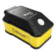


The C-thrue Concrete Scanner is an all-in-one Ground Penetrating Radar (GPR) designed specifically for accurate scanning and real time analysis of concrete structures.
Now you can literally see through concrete structures and see real-time scan data onsite.
Construction and service companies as well as civil and structural engineers can now improve the way they locate rebars, voids, post-tension cables, cavities, conduits, and any other objects buried in the structure before cutting or drilling into the concrete.
The C-thrue Concrete Scanner solution has many applications and operations including building renovation, overpasses, monuments, bridges and tunnels surveys, as well as for detailed analysis of the original engineering project and comparison with the as-built structure.
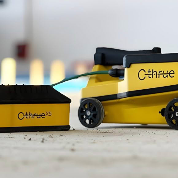
Transporting the C-thrue Concrete Scanner is easy thanks to a compact and light telescopic pole and an external controller, it is able to be used even in the most challenging environments.
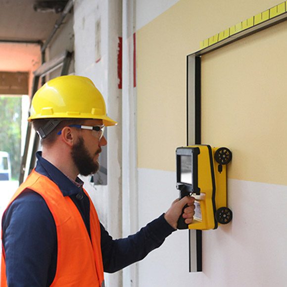
The external controller enables easier and faster data interpretation in the field, with real-time data processing and representation of results in augmented reality for more efficient decision-making.
C-thrue Concrete Scanner Key Features:
- Clearer and faster surveys
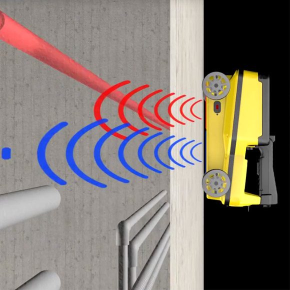
Detection of both first and second levels of rebars thanks to the system’s double polarisation. - Safe drill in the surveyed structure
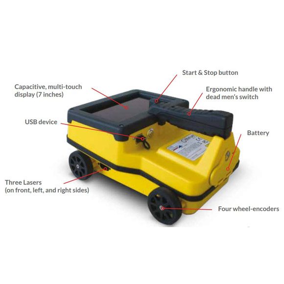
Rebar/void automatic insight capabilities that improve safety before cutting or drilling into the concrete. - Fully-visible, multi-touch display
Data displayed on the screen are never obscured by the handle or the user’s hand. - Simplified data interpretation
Optimal decision-making supported by visualisation of acquired data in 3D models. - Increased data accuracy
Eliminate manual, error-prone paper grids with an automatic positioning and navigation system. - Advanced data visualisation
Augmented reality for 3D data visualisation and sharing across operators – in real time or intervals after acquisition. - Automated data acquisition and analysis
Automatic detection of the first layer of rebars and result exportation. - Flexibility everywhere
Lightweight, compact, drop resistant and transportable system for every user operations and construction sites.
C-thrue – Advanced GPR software to process data in the field
With just the press of a button, the system automatically recognises and discriminates rebars and voids in concrete structures.
C-thrue concrete scanner software is specifically developed and suitable for in the field analysis:
- Automatic system calibration for an easy and quick set-up and start;
- Automatic recognition of rebars and voids in concrete structures;
- Digital on-site representation of data and targets through Augmented Reality;
- Real time visualisation of 3D radar tomography;
- Real time data sharing enabling double data visualisation and high resolution imaging both on product display and remote desktop connection to external device;
- Capability to mark targets within the software;
- Fully integrated with GRED HD post-processing software;
- Ability to export full survey report.
GRED HD 3D – Advanced GPR processing and imaging software
GRED HD 3D is an advanced post-processing software enabling users with the following functionalities:
- Radar-scan viewer, filter and advanced filtering macros;
- Layer picking for automatic analysis of sub-layers;
- Tomographic map view (C-Scan) including radar scan fusion;
- 3D data visualisation;
- Advanced targeting using radar-scan and tomographic view.