

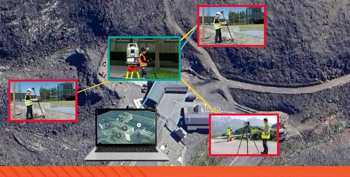
in Reality Capture
of performance
to Final Production
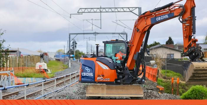
Excavator
construction site layouts
Leica AP20 AutoPoleIt's about Pole Position!
the rules of the game.
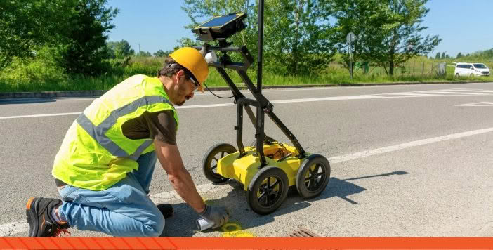
RTK Network
GNSS Reference Station Network
TILTROTATORS
TILTROTATORS

![]()
![]()
![]()

![]()

![]()
![]()

![]()
![]()

![]() .
.

![]()
![]()

![]()
![]()
![]()
Complete technology solutions for survey & construction applications
![]()
Surveying
Rely on Leica technology when you need to overcome challenges and know measurements are correct.
![]()
Machine Control
Leica Machine Control systems lead the industry with solutions designed to improve project productivity and efficiency.
![]()
Construction & Detection
Rugged lasers, levels and locators deliver on Leica’s reputation for accuracy, reliability and ease of use.