
Patersons Dunedin: Transforming Coastal Monitoring with the Apache4 Hydrographic Survey Boat
Categories:
Tags:
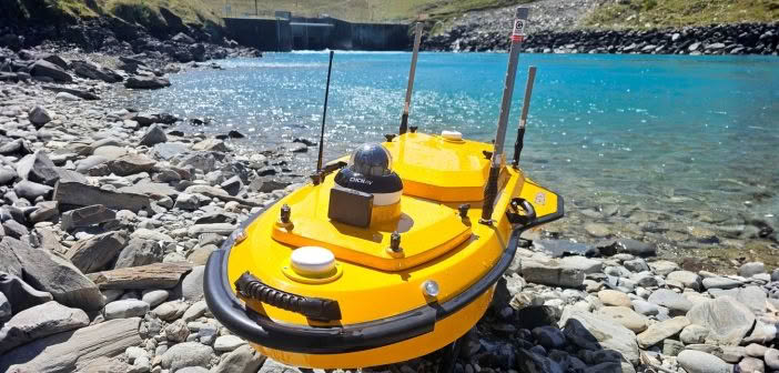
In our latest article, we caught up with the team at Patersons Dunedin office who have been putting the CHCNAV Apache4 hydrographic surveying boat to the test on a long-term coastal monitoring project along the Otago Peninsula.
The Challenges of Monitoring Coastal Change
The project focuses on tracking sand movement… Read More
Taking steps to expand your traditional surveying services into monitoring
Categories:
Tags:

Monitoring is often thought of as a discipline requiring the expertise of a specialist who possesses the unique knowledge needed to carry out monitoring tasks. In reality, monitoring is repeatedly and consistently surveying the same object and comparing the results over a period of time. On large and complex installations… Read More
Grow your business with the Leica Captivate TPS monitoring app
Categories:
Tags:
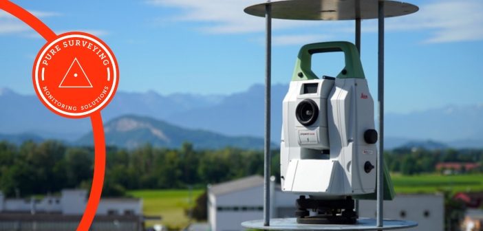
It’s easier than you think to grow your Surveying business by offering Monitoring services. Most Surveying businesses at some time will have monitored structures, or a landslide with annual or monthly visits and produced reports in Excel. It’s when those projects become a little more regular that a more efficient… Read More
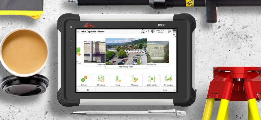
Leica Captivate v8.0 – Overview of new features
Categories:
Tags:
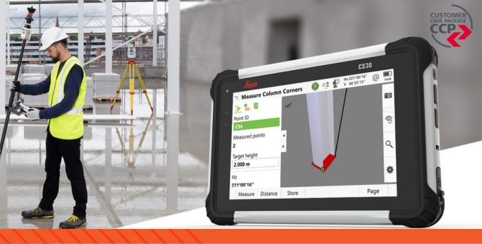
Leica Captivate survey field software remains at the forefront of Leica’s ongoing development efforts. As technology and industry demands evolve, Leica’s R&D team remains determined in their efforts of ensuring that the Captivate software not only aligns with but surpasses the requirements and expectations of surveying professionals worldwide.
The new… Read More
MetaConnex – connecting survey metadata to the latest 12d Model tool
Categories:
The modern practice of exporting Leica survey data uses stylesheets to create 12d field files. This export method allows all the survey metadata captured in the field to be utilised in 12d.
The whole process from capture through to design focuses on minimal manual metadata entry and provides a high… Read More
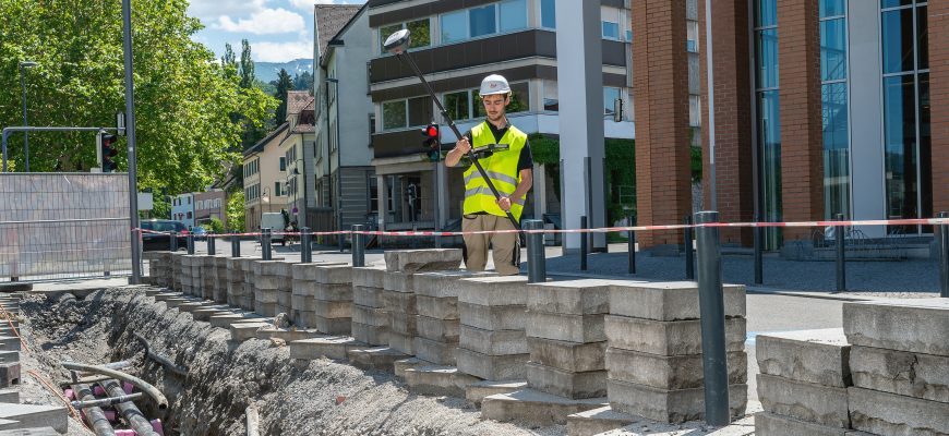
Maven: Saving Time with Leica Captivate SmartPole
Categories:
Tags:
Having worked on some of New Zealand’s largest and most complex residential, commercial and public sector projects, Maven have a focus on delivering excellence for their clients. One of the ways they achieve this is by utilising the latest technology in order to work as productively and efficiently as possible.… Read More
Leica Captivate v7.0 Firmware Update
Categories:
Tags:
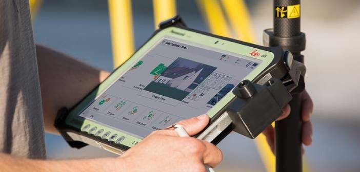
Leica’s software engineers have been working hard on the continued evolution of the Captivate product range, and we are pleased to bring you the following condensed overview for Leica Captivate controllers, GNSS and Total Stations. Leica Captivate v7.0 is a huge release and contains a lot of valuable new functionality,… Read More
Minimise Errors With The New Leica AP20 AutoPole
Categories:
Tags:

The introduction of Robotic Total Stations enabled Survey professionals to measure and stake with increased automation, however there are still challenges and common errors that occur:
• The reflector pole must be held vertically while measuring and staking points.
• Points can be measured and stored with the wrong target… Read More
The Next Evolution: Introducing the New Leica AP20 AutoPole!
Categories:
Tags:
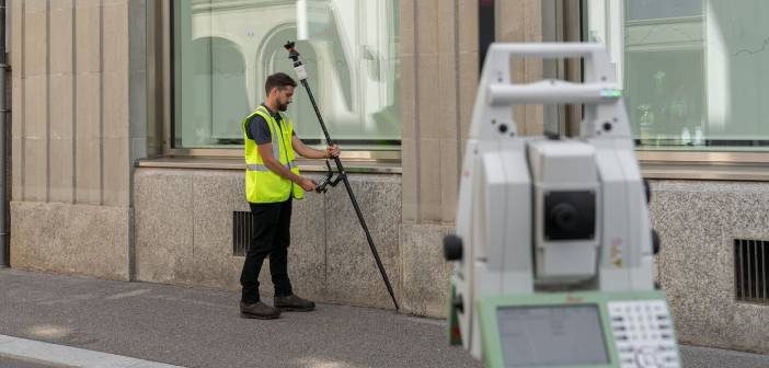
The new AP20 AutoPole is the latest innovation from Leica Geosystems and the world’s first tilt pole for Total Stations!
Leica Robotic Total Stations and MultiStations are a crucial part of everyday survey workflows, relied on by Surveyors around the world for accurate and efficient measuring and layout tasks.
The… Read More
Accelerate data transfer from field to office with Leica Exchange
Categories:
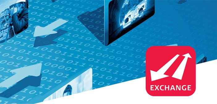
Leica Exchange optimises your precious time and expenses by providing a fast and secure method to transfer data from Leica Captivate straight from the field to your office. Eliminate the need for long travel times and fumbling around with USBs!
This service enables you to send data directly in various… Read More