fbpx
Call for Expert Advice
0800 453 422
Official NZ Leica Geosystems Dealer
Free Shipping For Online
Orders Over $50

C&R Surveying – Efficiency gains with the Leica AP20 AutoPole

Categories: Tags:
C&R Surveyors
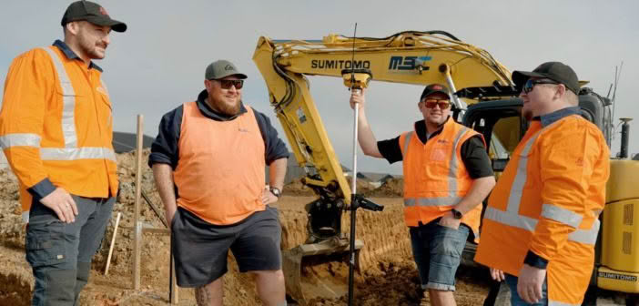
We went onsite with C&R Surveyors to see how they are utilising the Leica AP20 AutoPole on a construction project in Orewa. Jordan Zagonel, Surveyor and Gray Robinson, surveying student at Otago were tasked with surveying the site to provide stakeholders with heights, positions and details of buildings and objects.… Read More

SmartFix and the Cadastral Survey Amendment Rules 2023

Categories:
The Cadastral Survey Amendment Rules 2023 came into effect on July 1st 2024.  The only official NZ vertical datum used to describe a height limited boundary is now NZVD2016 . The majority of SmartFix stations are Order 3 for their NZGD2000 coordinates and transmit NZGD2000 ellipsoidal heights to users.  GNSS… Read More

Kurloo Monitoring: Testing in New Zealand environments

Categories: Tags:
Kurloo Monitoring
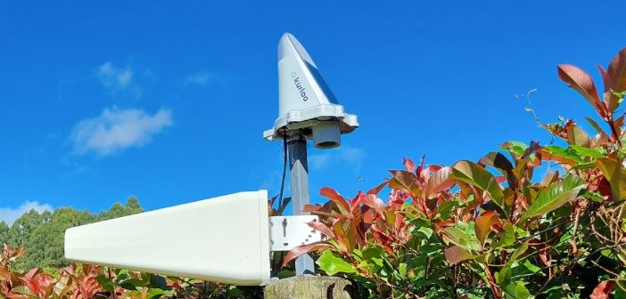
The Kurloo monitoring solution for displacement and slope monitoring is a two-part system. The first part is the Kurloo device, which is mounted on the site you want to monitor. This device gathers precise data remotely using its on-board GNSS components and environmental sensors. Even small movements can be detected… Read More

ARCH NZ Conference panel discussion: Is New Zealand ready for the digital age?

Categories: Tags:
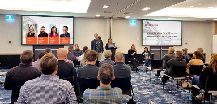
Is New Zealand ready for the digital age? This was the theme of the panel discussion that closed out the 2024 ARCH NZ conference. Autonomy & Reality Capture Hub NZ (ARCH NZ) is a user group for professionals working in the AEC industry in New Zealand. The inaugural annual user… Read More

Go digital with Leica iCON manual Total Stations

Categories: Tags:
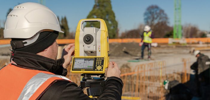
iCON manual total stations
Leica Geosystems’ next generation of iCON manual total stations facilitates the move from traditional analogue measurement methods to modern digital techniques. Today’s building construction industry demands high productivity and accuracy, the new Leica iCON iCB50 & iCB70 Manual Total Stations provide higher productivity, an integrated software tailored to construction and… Read More

Kurloo spreads its wings into New Zealand!

Categories: Tags:
We’re pleased to announce that Global Survey have been named as the exclusive distribution partner for Kurloo monitoring solutions in New Zealand. “Kurloo is a brilliantly simple monitoring technology that leverages the power of GNSS to make autonomous and remote monitoring more widely accessible. Our team are excited about being… Read More

Babbage: Leica RTC360 delivering maximum scanning efficiency on the O Mahurangi – Penlink project

Categories: Tags:
We join the Babbage survey team onsite to discover how they’re using Leica laser scanning technology to complete over 200 condition surveys of buildings located alongside the new O Mahurangi – Penlink transport link in Auckland.  On this project, it was important for the Babbage team to ensure that… Read More

Mexted Sports Turf: Resurfacing Eden Park with the Leica iCON 3D Grading System

Categories: Tags:
Mexted Sports Turf
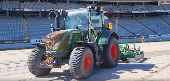
We’re onsite with the team from Mexted Sports Turf at Eden Park in Auckland. After three years, they’ve returned to again complete a resurfacing project at New Zealand’s National Stadium. With short time frames and an entire stadium ground to resurface, the pressure was on to get it right first… Read More

Harrison Grierson: Bringing projects to life with the Leica BLK2GO

Categories: Tags:
Harrison Grierson
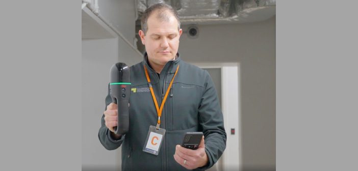
On a crisp Wellington morning, we joined the Harrison Grierson survey team onsite at the Bowen Campus buildings adjacent to Parliament Grounds in Wellington. This large construction project spans a 1 hectare site comprising of four commercial office towers that will house approximately three and a half thousand workers when… Read More

Everything you need to know about Unmanned Surface Vessels from Seafloor Systems

Categories:
Seafloor Systems
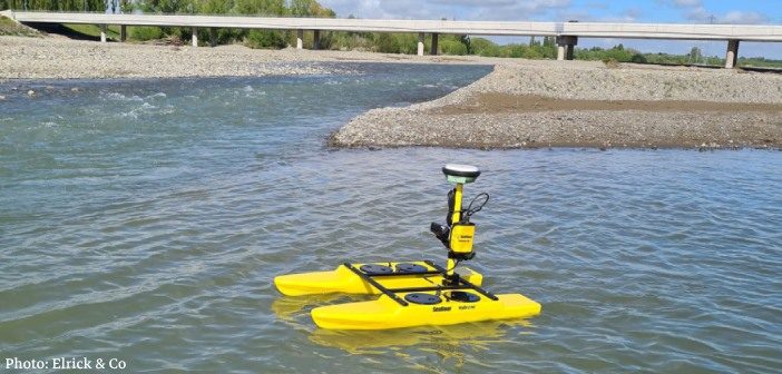
Seafloor Systems are continuing to develop and improve their hydrographic surveying solutions, including the popular EchoBoat and HydroCat systems. As an affordable and effective surveying platform, these systems are highly versatile and can be customised to suit individual, environmental and project requirements. Unmanned Surface Vessels (USVs) are commonly used by… Read More