NEW Leica Nova MS60 MultiStation [Webinar]
Categories:
Tags:
The Ultimate All-Rounder – Leica ANZ Webinar
Leica Nova MS60 is the world’s first MultiStation and brings sensor fusion to the next level by combining: highest-end total station capabilities, 3D laser scanning, GNSS connectivity and digital imaging to help you perform all required surveying tasks with just one instrument.
Demonstrated… Read More
Baldwin Street’s Victory | A Deep Dive into the Laser Scanning Data
Categories:
Tags:
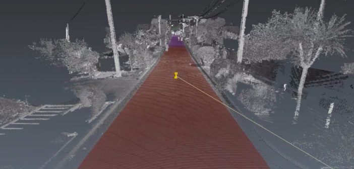
When Dunedin’s Baldwin Street lost the Guinness World Record title of “World’s Steepest Street” last year to Ffordd Pen Llech in Wales, Surveyor Toby Stoff immediately thought they must have measured it wrong.
“I just looked at it and thought there’s no way that’s steeper than Baldwin Street. Then I… Read More
WEBINAR: Speed and Collaboration with the BLK2GO
Categories:
Tags:
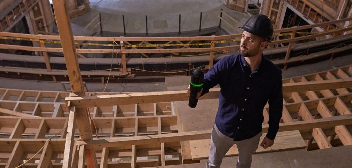
The latest handheld laser scanner, Leica BLK2GO, allows users to seamlessly capture complex spaces in 3D while moving, in real time using SLAM spatial awareness technology. It automatically builds 3D point clouds as you move throughout the entire scan session, which can then be used to join multiple scans, be… Read More
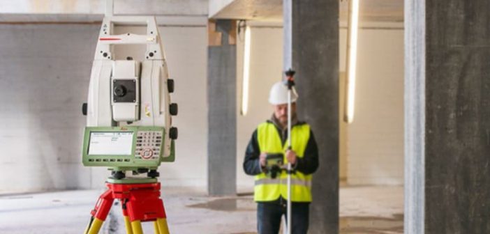
Transform Your Digital Delivery | NEW Leica Nova MS60 MultiStation
Categories:
Tags:

The all NEW Leica Nova MS60 Multistation has arrived! The new model takes the Leica MS60 to the next level with the addition of several new features which transform this MultiStation into the ultimate all-rounder automatically and continuously adapting to any environment regardless of the challenges.
The New Leica Nova… Read More
eBee X Survey Drone: Maximise Your Aerial Mapping Efficiency
Categories:
Tags:
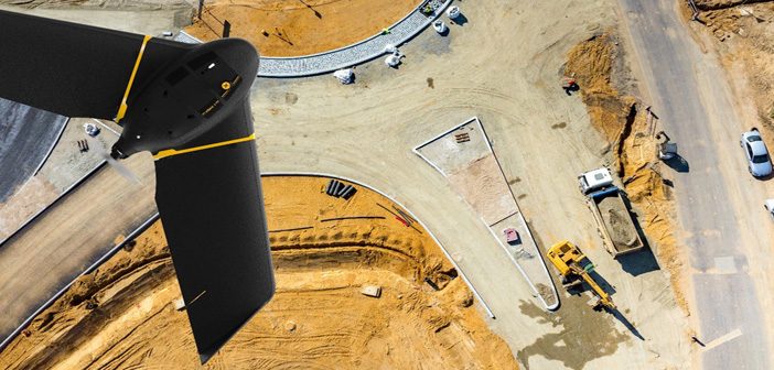
The senseFly eBee X survey drone should be added to every aerial surveyor’s toolkit! Its fixed-wing design with high spec features provide an all-in-one solution to everyday aerial surveying needs. It is designed to deliver maximum efficiency by addressing common issues such as time constraints, weather predicaments and safer access… Read More
Protect Your Total Station with Leica LOC8
Categories:
Tags:
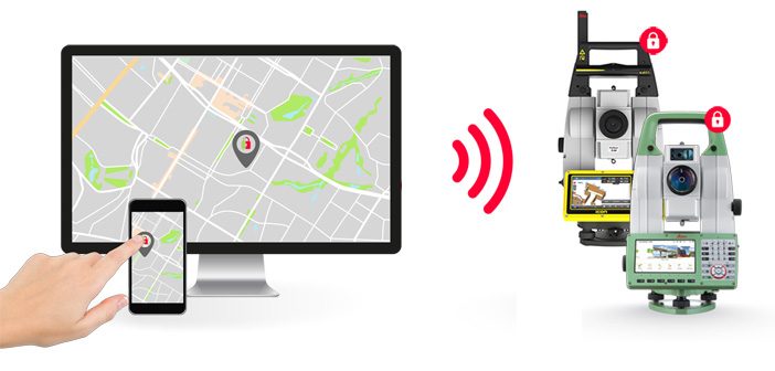
Introducing the new Leica LOC8 essential security feature for Leica Total Stations.
Leica LOC8 is a positioning, tracking and locking solution for Leica total stations that enables the user to remotely track and lock instruments on demand.
With this feature users can remotely lock and unlock their total stations, receive… Read More
eBee Drones Now Available from Global Survey!
Categories:
Tags:
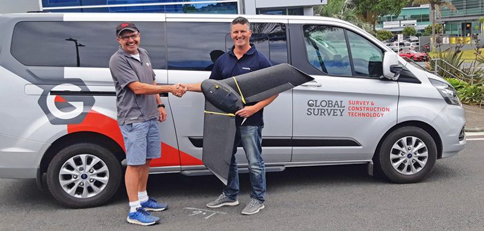
We’re pleased to announce that Global Survey has officially become the New Zealand distributor for senseFly eBee drones.
“We are excited to partner with senseFly, a well-established and proven Swiss drone manufacturer, to offer the eBee fixed wing drones to New Zealand customers. The eBee survey-grade drones are an easy-to-use… Read More
Nedo Tripod – Taking Laser Scanning To New Heights & Depths
Categories:
Tags:

We’ve expanded our Laser Scanning Hire Fleet with the addition of the Nedo Industrial Shaft Tripod. The Nedo Tripod is designed for raising or lowering a laser scanner to otherwise inaccessible locations and is compatible with the Leica RTC360, Leica BLK360 and Leica P Series scanners.
The Nedo Tripod enables… Read More
Finding Survey Marks Faster with Leica Captivate & WMS
Categories:
Tags:
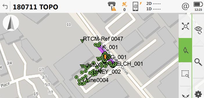
Ask any Surveyor “How long does it take you to find old survey marks?” and the answer is always “Too long!”.
Our Survey Team have been testing a new faster way of finding survey marks in the latest version of Leica Captivate. With the release of Leica Captivate version 4.5… Read More
Laser Scanning Just Got Even Easier – Leica Cyclone Field360 App
Categories:
Tags:

The latest version of the Leica Cyclone FIELD 360 mobile app streamlines field data and documentation with post-processing activity, making your reality capture experience powerfully efficient, accurate and flexible. It is fully compatible with the Leica RTC360 / Leica RTC360 LT and the Leica BLK360 laser scanners and is now… Read More