
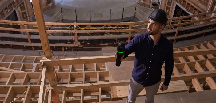
The latest handheld laser scanner, Leica BLK2GO, allows users to seamlessly capture complex spaces in 3D while moving, in real time using SLAM spatial awareness technology. It automatically builds 3D point clouds as you move throughout the entire scan session, which can then be used to join multiple scans, be published to different data formats and generate deliverables in a collaboration.
Learn how to take advantage of the speed and collaboration capabilities of the BLK2GO with this upcoming Leica webinar which will show you how to:
- Join data from multiple BLK2GO sessions
- Process BLK2GO data, check and publish it to different formats ready for collaboration and consumption
- Share and collaborate using Leica JetStream or TruView
Presenters from Leica Geosystems and C.R. Kennedy will be demonstrating these processes using real life data and the new features in CloudWorx for Revit.
Experience Level: From beginners to advanced users
Presenters:
Gregg Franz
Reality Capture Segment Manager, Leica Geosystems
Sam Hesper
Spatial Solution Consultant, C.R. Kennedy
Date: Tues, 28 April 2020
Time: 1:00pm NZDT [11:00am AEST]
Register for the webinar here:
![]()
SHARE THIS ARTICLE