Bentley Reality Modelling Workshop
Categories:
Tags:

Global Survey and Bentley Systems would like to invite you to a FREE Reality Modelling Workshop.
Reality Modelling is a major component of engineering, being used in construction, design, monitoring changes, asset condition inspection – the possibilities are endless!
Are you looking to create high quality deliverables with images captured… Read More
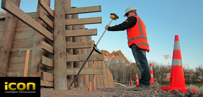
Locate Underground Objects | Leica GPR
Categories:
Tags:
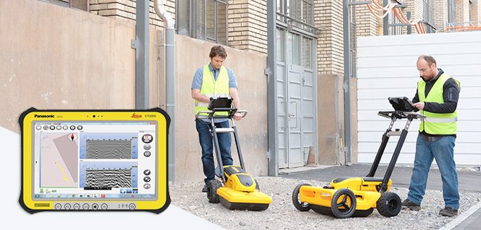
The Leica GPR solution provides roading, earthworks, concrete contractors and council developers/asset managers the ability to quickly analyse underground objects across large areas. Risks can then be identified and minimised before earthworks begin, greatly improving safety onsite.
The advantage of using Leica GPR is the ability to quickly see a… Read More
Beyond The Electronic Bubble | The Leica GS18T Story
Categories:
Tags:
The GNSS Evolution
This is the story of a decade-long quest for sensor integration, the results of which provide a glimpse into the future of not only GNSS rovers, but also perhaps other surveying and mapping instruments to come.
The key differences between Leica Geosystems’ GS18 T tilt compensation and… Read More
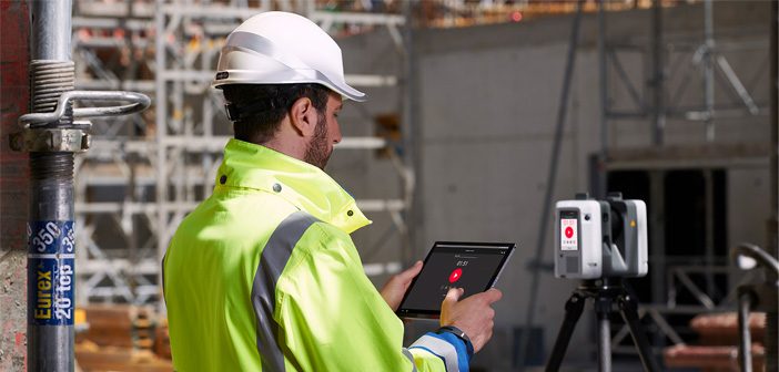
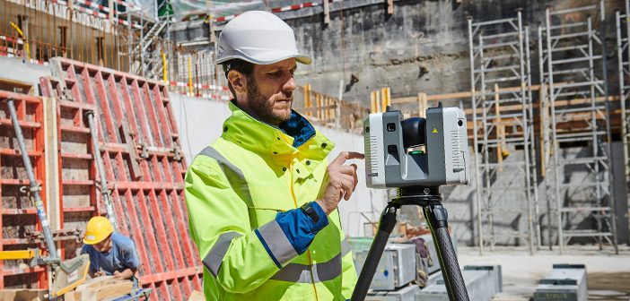
The Power of Scanning – Leica HDS Webinar
Categories:
Tags:
** This webinar has already happened but the recording is now available. **
Webinar Recording Available Here
‘The Power of Scanning’ webinar will discuss and introduce the new Leica RTC360 3D Reality Capture solution from data capture to in-field verification and preregistration.
The new Leica RTC360 is a new ultra-fast… Read More
ScanStation Comparison Chart – BLK360/RTC360/P-Series
Categories:
Tags:
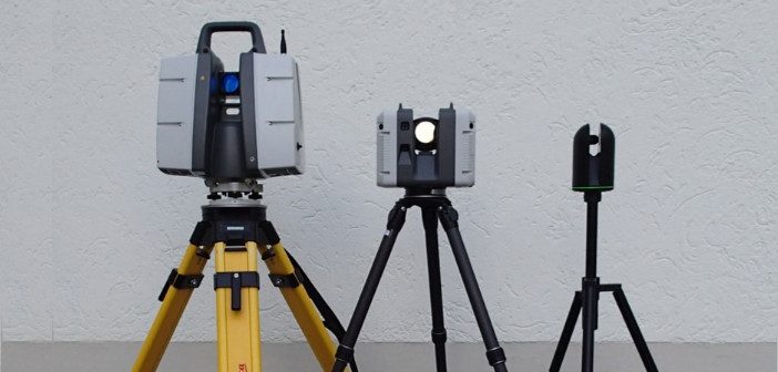
With Leica’s ever-increasing portfolio of scanning solutions, it’s hard not to be excited by the evolution of this industry. Our latest release, the RTC360, offers lightning fast pointcloud and HDR image capture with cutting edge in-field smart registration. When combined with the speed, scale and simplicity of Cyclone Register360, you’ll… Read More
Welcome back to Global Survey Richard Harrison!
Categories:
Tags:
We’re pleased to welcome Richard Harrison back to the Global Survey team as South Island Geomatics Specialist. After 4 years working in a professional services consultancy Richard is back, bringing with him an even richer background, now including international survey experience, product training, service, technical support and management.
Richard’s most… Read More
Leica HDS User Conference
Categories:
Tags:
- BIM ,
- Events ,
- HDS ,
- ScanStation

Join the Global Survey team at the upcoming Leica HDS User Conference to discover the latest technologies destined to shape our industry.
HDS User Conference – Melbourne, 14-15 August 2018
Join like-minded professionals in Melbourne to learn, network and discover what’s new and what’s next in HDS technology.
You’ll see… Read More
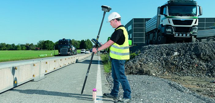
Leica iCON GPS 70 T – Increased productivity, speed and accuracy
Categories:
Tags:
Operate faster, smarter and easier with the new Leica iCON GPS 70 T.
Fully calibration-free, the Leica iCON GPS 70 T enables you to operate at maximum efficiency with the latest technology.
The ultimate GNSS rover is a fully tilt compensated solution delivering increased productivity onsite. Now you can collect… Read More
WSP-Opus Adopt Safer Road Scanning With Scan & Go System
Categories:
Tags:
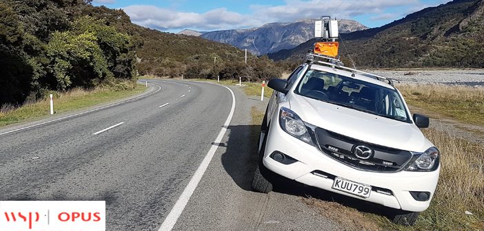
Scanning sections of 100 Km signed highways presents both challenges and risks for surveyors. It would usually require a partial or full road closure and a traffic management plan to minimise the safety issues for both the surveyors and other road users.
This was the task facing WSP-Opus on a… Read More
Introducing The Scanner You’ve Been Waiting For – Leica RTC360
Categories:
Tags:
Recently launched at HxGN LIVE 2018, the new Leica RTC360 is taking high definition laser scanning to new heights.
Fast, Agile, Precise.
The Leica RTC360 is equipped with edge computing technology to enable fast, accurate capture, and verification of 3D point clouds in the field.
The RTC360 scan rate is… Read More