WEBINAR: What’s New in Leica Cyclone 3DR
Categories:
Tags:
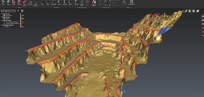
What’s new in Leica Cyclone 3DR, the all-in-one deliverable solution
Leica Cyclone 3DR is a seamless extension of the Cyclone product family which works hand in hand to take users from field data collection with Cyclone FIELD 360 through registration in Cyclone REGISTER 360 and deliverable creation in Cyclone 3DR.… Read More
S+S NZ Engineering & Positioning Workshop
Categories:
Tags:
We’re proud to continue our support of the industry as Diamond Partners of S+SNZ. Join us at the upcoming Survey & Spatial New Zealand Engineering & Positioning Workshop where professionals from the surveying and engineering industries will be sharing knowledge and showcasing projects that use innovative technology.
Our team will… Read More
Smart Christchurch – Mobile Mapping with the Leica Pegasus: Two
Categories:
Tags:
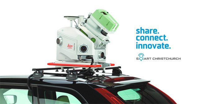
The Global Survey team will be exhibiting at next week’s Smart Christchurch Innovation Expo alongside Christchurch City Council. We’ll be showcasing the latest Leica Geosystems reality capture technology including the Leica Pegasus: Two Mobile Mapper which is currently being trialled as part of the Smart Christchurch initiative.
The Innovation Expo… Read More
Leica Laser Scanning | Accurately Measuring Baldwin Street’s Steepness
Categories:
Tags:
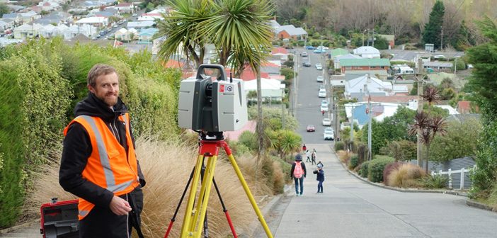
Iconic Baldwin Street in Dunedin recently lost the Guinness World Record title of “World’s Steepest Street” to Ffordd Pen Llech in the village of Harlech, Wales.
Dunedin based Surveyor, Toby Stoff from Clark Fortune McDonald, has made national and international headlines with his claims that the Welsh street was measured… Read More
Introducing the Amazing NEW Leica BLK2GO
Categories:
Tags:
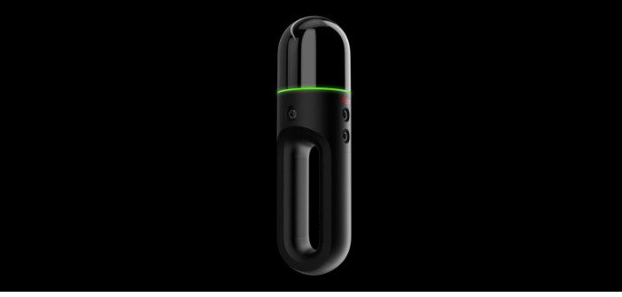
We’re excited to welcome the newest member of the BLK family – Meet the amazing new Leica BLK2GO handheld laser scanner.
This new mobile laser scanner was recently revealed at HxGN LIVE in Las Vegas.
The Leica BLK2GO is designed to scan complex spaces with unprecedented efficiency and speed thanks… Read More
Leica RTC360 Laser Scanner & Collision Investigations
Categories:
Tags:
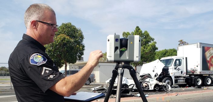
When your crime scene is situated in the middle of a busy intersection in one of LA’s most densely populated cities, you need a fast laser scanning solution. “It can get pretty dicey out there,” says Investigator Weston Hadley, of the Santa Ana Police Department’s Collision Investigations Unit.
Until recently,… Read More
Faster Outdoor Reality Capture with Scan & Go
Categories:
Tags:
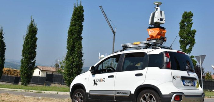
The Scan & Go system is a vehicle-mounted, elevated platform for outdoor laser scanning projects. It is self-leveling, compatible with all makes and models of laser scanners and easily mounted on top of any vehicle.
With a growing demand for large volumes of 3D data acquisition, the Scan & Go… Read More
Leica HDS: Reality Capture Software Explained
Categories:
Tags:
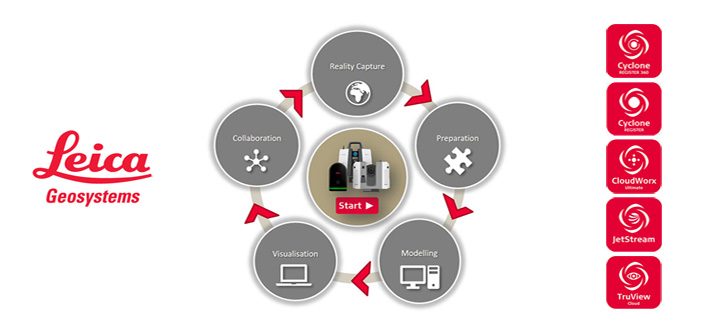
Leica Geosystems is the market-leader in point cloud delivery solutions. We offer a family of hardware and software that provides the widest set of work process options for 3D laser scanning projects in engineering, surveying, construction and related applications.
Model and share your point cloud data with end-to-end Leica HDS… Read More
Leica HDS Webinar #2: What to consider for your QA/QC workflows in Cyclone REGISTER 360
Categories:
Tags:
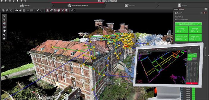
Join us for the second in our series of HDS webinars designed specifically for Leica users across Australia & New Zealand:
Webinar #2: What to consider for your QA/QC workflows in Cyclone REGISTER 360
This webinar discusses the fundamental QA/QC processes in Cyclone REGISTER 360 and demonstrates methods of combining… Read More
Public Safety: How to Clear Scenes Faster with Laser Scanning [Webinar]
Categories:
Tags:
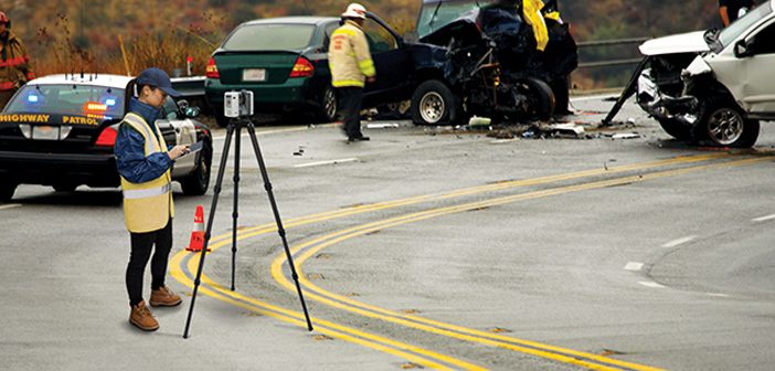
3D laser scanning is a proven way to document crime and crash scenes. With a push of a button, you can “freeze” the scene in time with millions of high-accuracy points and panoramic photography.
The resulting data is a true color, extremely detailed, rich, vivid and immersive 3D environment that… Read More


