
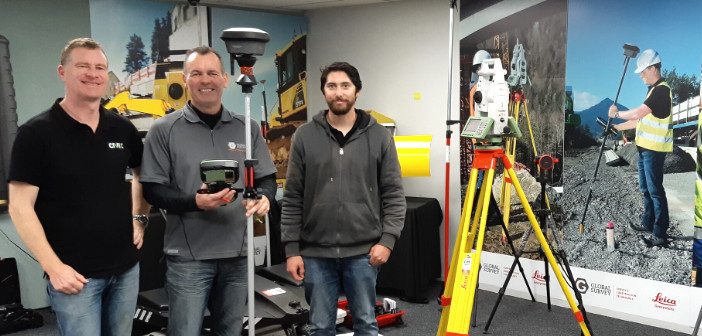
Embracing The No Strings Approach | Hanham & Philp Contractors
Categories:
Tags:
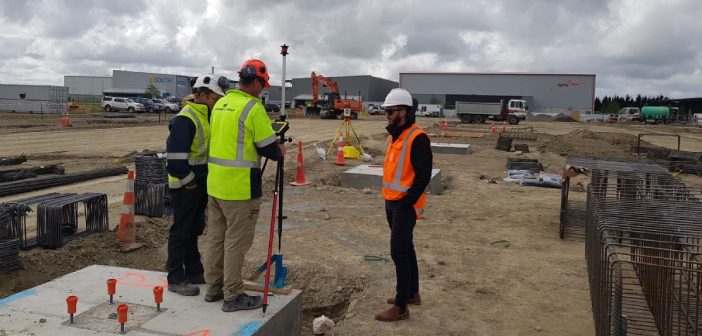
Hanham & Philp Contractors are proud of their rich history. Originally founded in 1979 they’ve built up an impressive body of work specialising in commercial buildings, community facilities and heritage renovations. With a staff of around 70, they are well-known in the Canterbury area as leaders in their field.
Having… Read More
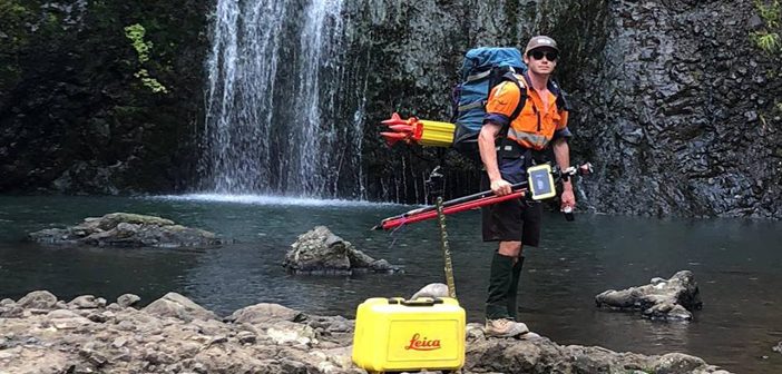
Nedo Tripod – Taking Laser Scanning To New Heights & Depths
Categories:
Tags:
We’ve expanded our Laser Scanning Hire Fleet with the addition of the Nedo Industrial Shaft Tripod. The Nedo Tripod is designed for raising or lowering a laser scanner to otherwise inaccessible locations and is compatible with the Leica RTC360, Leica BLK360 and Leica P Series scanners.
The Nedo Tripod enables… Read More
Aerialsmiths | Pushing the Boundaries with the Latest Technology
Categories:
Tags:
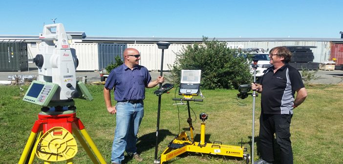
Aerialsmiths are a fast growing company based in Auckland that specialise in both land and aerial surveys for earthworks and roading projects. They have a DJI Matrice600 Pro with KLAU PPK drone for aerial surveys and a Leica iCON iCR80 Total Station, Leica GPS60 Rover and Leica DS2000 Ground Penetrating… Read More
Siteworx Civil | Boosting Productivity with Leica iCON Machine Control
Categories:
Tags:
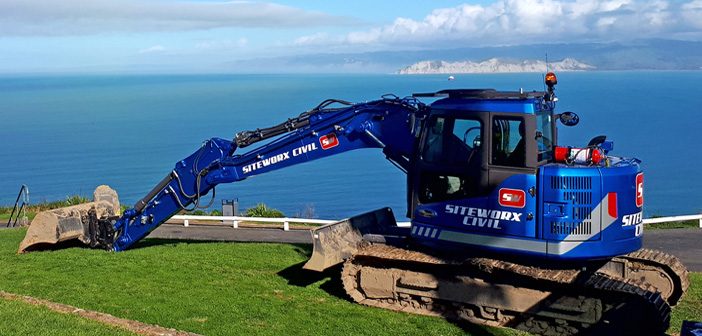
With a rich 50 year history, family owned and operated Siteworx Civil have a stand out reputation as one of the leading civil construction companies in the East Cape. If you’ve spent any time in the Gisborne area you’ve probably already seen Siteworx Civil in action, their distinctive blue Volvo… Read More
The Need for Speed | Civix Invest in Leica Technology
Categories:
Tags:
The Survey team at Civix are all smiles as they take delivery of their new Leica GS18 T GNSS and Leica TS16 Robotic Total Station.
Based in central Auckland, Civix are a planning, engineering and surveying consultancy with a focus on delivering quality outcomes as quickly as possible. They offer… Read More
Downer NZ Invests in Leica Mobile Mapper
Categories:
Tags:
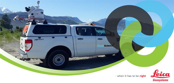
We’re pleased to announce that Downer NZ have secured New Zealand’s first Leica Pegasus: Two [Ultimate] Mobile Mapper.
The revolutionary Pegasus: Two captures spatial data using a combination of Inertial Measurement Unit [IMU], cameras, GPS and laser profiling technology delivering geo-referenced data for multiple applications.
A key benefit is the… Read More
KiwiRail Survey Kaikoura’s Main North Line
Categories:
Tags:
Recovering from the 7.8 magnitude Kaikoura earthquake of November 2016 has been a long time coming for those effected. Along with widespread devastation of homes and businesses in the region, the earthquake also ripped through the main transport routes that linked Kaikoura to Picton and Christchurch, closing SH1 and pushing… Read More
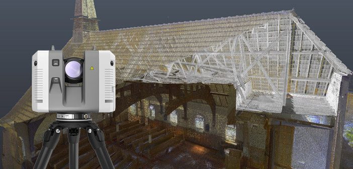
Lava Cave Mapping with the Leica BLK360
Categories:
Tags:

The landscape of Auckland has been primarily shaped by historic volcanic activity. A sprawling city located in an isthmus, home to a network of over 50 dormant and extinct volcanoes. Numerous above ground volcanic cones are prominent features of the city’s skyline, but what many residents don’t realise is that… Read More
Envivo impressed with Leica RTC360 laser scanner
Categories:
Tags:
It turned out to be a blessing in disguise when Envivo’s old laser scanner was damaged and needed replacing. What at first seemed like a disaster, quickly turned into a fortunate series of events.
Fortunately for them, there have been vast improvements in laser scanning technology over the last couple… Read More
University of Waikato | Mapping Tauranga Harbour Seabed
Categories:
Tags:
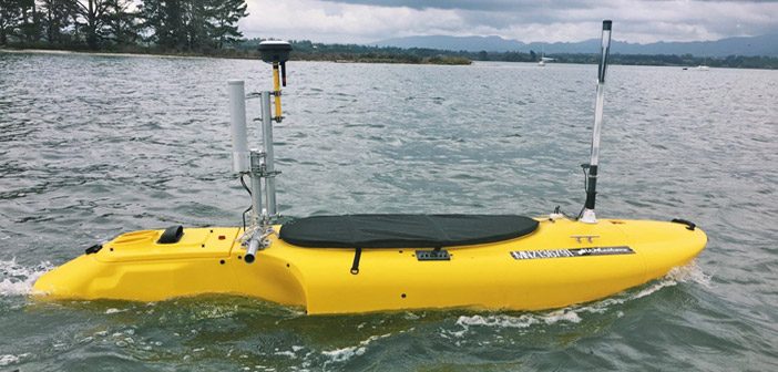
We caught up with the University of Waikato to see how they’re utilising their fleet of Leica GNSS purchased last year, especially the new Leica GS18 T GNSS antenna.
We spoke to Dean Sandwell, Technician from the School of Science who has been setting up the equipment for student research… Read More