SmartFix RTK Reference Station Network – Full Site List
Categories:
Tags:
SmartFix is NZ’s most extensive reference station network that is continually growing, we’re well on the way to achieving our mission of 100% NZ coverage.
SmartFix RTK Reference Station Network delivers:
cm level real-time kinematic corrections in NZGD2000
post-processing solutions
sub-meter GIS corrections
Providing a real-time kinematic (RTK) correction service… Read More
WEBINAR: What’s New in Leica Cyclone 3DR
Categories:
Tags:
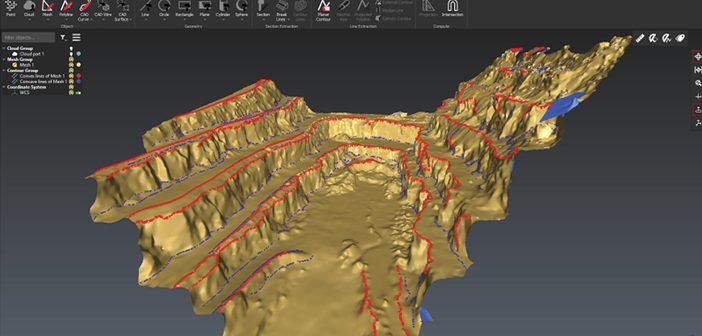
What’s new in Leica Cyclone 3DR, the all-in-one deliverable solution
Leica Cyclone 3DR is a seamless extension of the Cyclone product family which works hand in hand to take users from field data collection with Cyclone FIELD 360 through registration in Cyclone REGISTER 360 and deliverable creation in Cyclone 3DR.… Read More
Aerialsmiths | Pushing the Boundaries with the Latest Technology
Categories:
Tags:
Aerialsmiths are a fast growing company based in Auckland that specialise in both land and aerial surveys for earthworks and roading projects. They have a DJI Matrice600 Pro with KLAU PPK drone for aerial surveys and a Leica iCON iCR80 Total Station, Leica GPS60 Rover and Leica DS2000 Ground Penetrating… Read More
S+S NZ Engineering & Positioning Workshop
Categories:
Tags:

We’re proud to continue our support of the industry as Diamond Partners of S+SNZ. Join us at the upcoming Survey & Spatial New Zealand Engineering & Positioning Workshop where professionals from the surveying and engineering industries will be sharing knowledge and showcasing projects that use innovative technology.
Our team will… Read More
Smart Christchurch – Mobile Mapping with the Leica Pegasus: Two
Categories:
Tags:
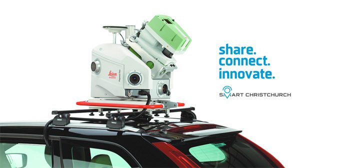
The Global Survey team will be exhibiting at next week’s Smart Christchurch Innovation Expo alongside Christchurch City Council. We’ll be showcasing the latest Leica Geosystems reality capture technology including the Leica Pegasus: Two Mobile Mapper which is currently being trialled as part of the Smart Christchurch initiative.
The Innovation Expo… Read More
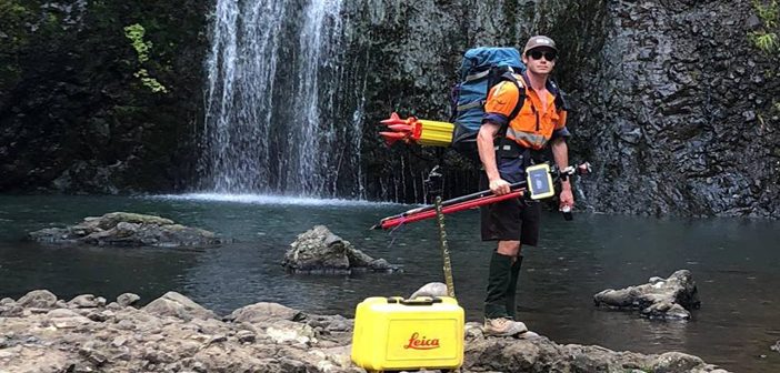
Leica Laser Scanning | Accurately Measuring Baldwin Street’s Steepness
Categories:
Tags:
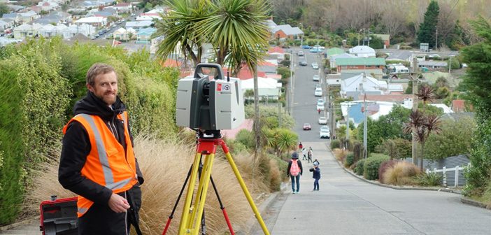
Iconic Baldwin Street in Dunedin recently lost the Guinness World Record title of “World’s Steepest Street” to Ffordd Pen Llech in the village of Harlech, Wales.
Dunedin based Surveyor, Toby Stoff from Clark Fortune McDonald, has made national and international headlines with his claims that the Welsh street was measured… Read More
GNSS Smart Antenna Comparison Chart
Categories:
Tags:
Are you unsure about which Leica GNSS antenna is right for the job?
The handy comparison chart shows the main difference in specification between the Leica GS07, GS14, GS16 and GS18 T GNSS Antennas.
ANTENNA
LEICA GS07
LEICA GS14
LEICA GS16
LEICA GS18 T
SIGNAL TRACKING
Multi-frequency
Dual-frequency
Multi-frequency
Multi-frequency… Read More
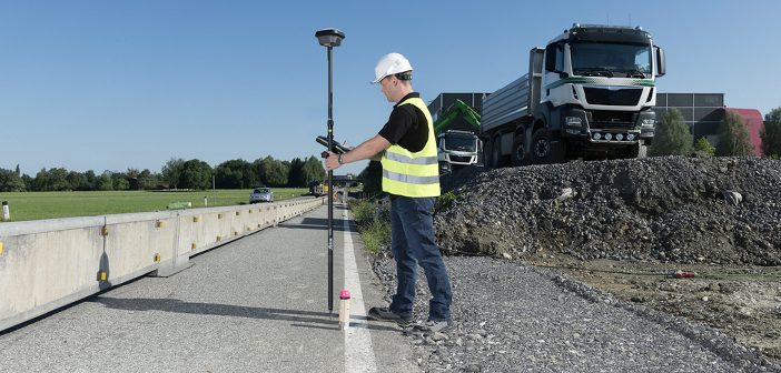
The Need for Speed | Civix Invest in Leica Technology
Categories:
Tags:
The Survey team at Civix are all smiles as they take delivery of their new Leica GS18 T GNSS and Leica TS16 Robotic Total Station.
Based in central Auckland, Civix are a planning, engineering and surveying consultancy with a focus on delivering quality outcomes as quickly as possible. They offer… Read More
SmartFix New Ports: Important Update
Categories:
Tags:
SmartFix New Ports Opened to Ensure Coordinate Alignment with LINZ
SmartFix site coordinates are now calculated as part of the National adjustment. This ensures the SmartFix reference stations’ status as 3rd order marks.
In order for your rover to stay aligned you need to transition to the new ports.
The… Read More
Introducing the Amazing NEW Leica BLK2GO
Categories:
Tags:
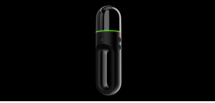
We’re excited to welcome the newest member of the BLK family – Meet the amazing new Leica BLK2GO handheld laser scanner.
This new mobile laser scanner was recently revealed at HxGN LIVE in Las Vegas.
The Leica BLK2GO is designed to scan complex spaces with unprecedented efficiency and speed thanks… Read More