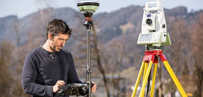
Accelerate data transfer from field to office with Leica Exchange
Categories:
Tags:

Leica Exchange optimises your precious time and expenses by providing a fast and secure method to transfer data from Leica Captivate straight from the field to your office. Eliminate the need for long travel times and fumbling around with USBs!
This service enables you to send data directly in various… Read More
How To Use Stylesheets with Leica Captivate & Leica Infinity File Export Formats
Categories:
Tags:
Global Survey customers can benefit from our development of several New Zealand based stylesheets to work with Leica Captivate and Leica Infinity file export formats.
Leica Captivate software supports the export of data in multiple formats for various requirements.
Below are the supported formats for export and the differences between… Read More
Taggart: Embracing Leica Semi-Auto Machine Control
Categories:
Tags:
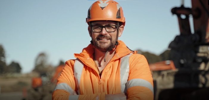
Contractor profile: Taggart
On the outskirts of Christchurch, the earthworks for the Ravenswood subdivision stage 3 are underway. Taggart are the main contractor, tasked with transforming this section of the project into a subdivision for 200 family homes.
WATCH: Onsite with Taggart and their Semi-Auto Excavator
We arrive onsite on… Read More
Survey Regulation Change: Cadastral Field Notes
Categories:
Tags:
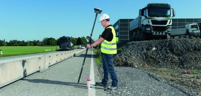
New Zealand Surveyors should be aware and prepared for the upcoming change in Survey regulations that will require Field Notes to be submitted with a Cadastral dataset.
Global Survey have developed stylesheets (in discussion with LINZ) to support this upcoming change in regulations. Survey jobs can either be exported directly… Read More
What’s The Difference Between Leica RTC360 and RTC360 LT?
Categories:
Tags:
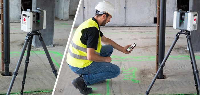
The Leica RTC360 is a first-class laser scanning powerhouse that was announced in 2018 to outstanding reception. It helped to maximise productivity and efficiency for construction professionals, delivering time-saving and highly accurate 3D capture results.
Since its launch, the Leica RTC360 has led the market as the world’s fastest laser… Read More
WG de Gruchy Construction: Where Traditional Meets Digital Building Methods
Categories:
Tags:

We meet Willie de Gruchy onsite in Auckland’s prestigious Remuera, his current project is still in the early stages of the build, the earthworks are almost done and the internal lap pool has just taken shape. The site is tidy, everything has a place and multi-coloured string lines mark out… Read More
Troydon Contractors: The changing face of construction
Categories:
Tags:
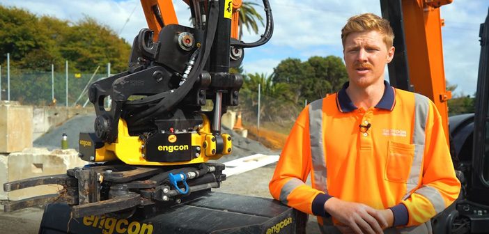
Contractor profile: Troydon Contractors
Jumping into the cab of their 5.5ton Hitachi ZAXIS 55U that was recently fitted with a new engcon tiltrotator, Blair Abernethy from Troydon Contractors was all smiles. “Let’s put the new kit to work!” he said as he got stuck into the final trim of Kowhai… Read More
How would vGIS improve the way you work?
Categories:
Tags:
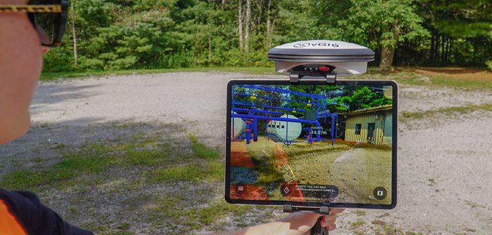
Have you ever been onsite, looking at the ground and thought “This would be so much easier if I could open up that trench again and take another look”. Ever been in the position where you’re looking at 2d plans and trying to imagine what the roofline will be like… Read More
The Digital Shipyard [Webinar]
Categories:
Tags:

How 3D laser scanning and advanced manufacturing technologies drive efficiency and profitability in the shipbuilding industry
Safety, efficient resource management and output are key concerns for the shipbuilding industry. A more progressive approach to tackling design, assembly, fabrication, construction, and operation and maintenance involves the application of 3D laser scanning… Read More
Expand Your Project Capabilities: A Surveyors’ Guide to Fixed-Wing Drones [Webinar]
Categories:
Tags:
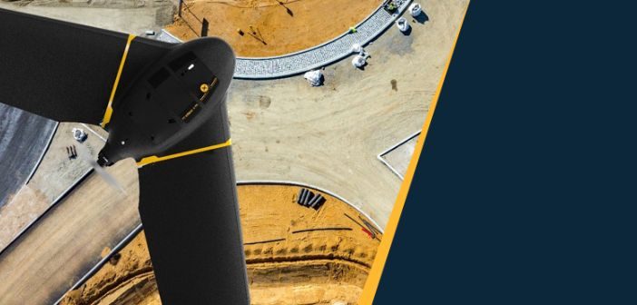
As a professional surveyor, the equipment you take to the field is just as important as the data you bring back to the office. But how you collect your data can have a big impact on your ability to complete projects quickly, efficiently and with the required data quality.
That’s… Read More