Leica Captivate surveying equipment – How to handle the 3G shutdown
Categories:

In New Zealand, all the major telco providers have indicated that they will be shutting down the 3G cellular network to free up low-band spectrum to extend 5G service in rural areas. One NZ (formally Vodafone), Spark and 2 Degrees will be ending their service soon starting from end of… Read More
Kurloo Monitoring: Testing in New Zealand environments
Categories:
Tags:
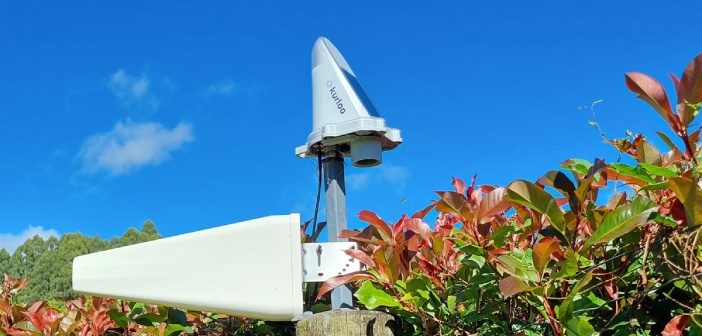
The Kurloo monitoring solution for displacement and slope monitoring is a two-part system. The first part is the Kurloo device, which is mounted on the site you want to monitor. This device gathers precise data remotely using its on-board GNSS components and environmental sensors. Even small movements can be detected… Read More
Kurloo spreads its wings into New Zealand!
Categories:
Tags:

We’re pleased to announce that Global Survey have been named as the exclusive distribution partner for Kurloo monitoring solutions in New Zealand.
“Kurloo is a brilliantly simple monitoring technology that leverages the power of GNSS to make autonomous and remote monitoring more widely accessible. Our team are excited about being… Read More
Introducing the CHC AlphaAir 450 LiDAR: Smaller, lighter sensor for Drone Surveying
Categories:
Tags:
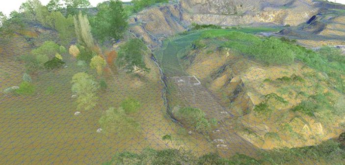
3D terrain mapping with drones has become common practice over the last decade. Relatively low-cost drones combined with autonomous mission planning apps and user-friendly photogrammetry software (such as ContextCapture and Leica Infinity amongst others) have provided highly efficient workflows for building accurate and complete 3D models of terrain more quickly… Read More
Envelope: Overcoming surveying challenges with the Leica GS18I
Categories:
Tags:
We’re high up in the hills above Ōwhiro Bay in Wellington with the Envelope survey team as they work with Zipline Technologies to help deliver a project that will result in four ziplines and extensive walking tracks throughout the regenerated native bush.
As part of this project, the Envelope survey… Read More
Investing in the Next Generation of University of Otago Survey School Graduates
Categories:
Tags:
The Global Survey team recently ran two workshops for the final year students at University of Otago Survey School. From a practical perspective the plan was to demonstrate how the latest technologies are able to make graduates more productive and efficient for when they enter the work force at the… Read More
DJI Drone GNSS Post Processing now available in Leica infinity
Categories:
Tags:
Many DJI drones in operation in NZ offer GNSS RTK capabilities and regularly connect to a local reference station or network RTK service such as SmartFix in real-time. However, there are circumstances in which a connection to a reference station network cannot be established or relied upon. These circumstances could… Read More
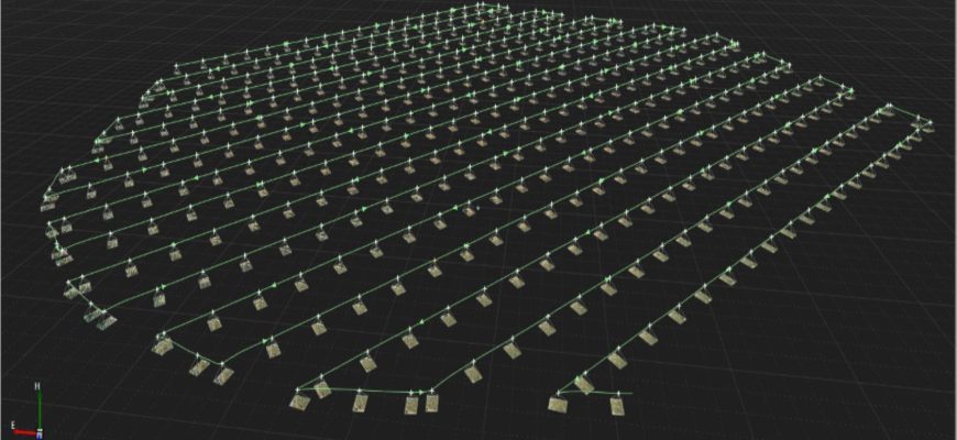
Challenge Accepted: Testing the Leica GS18I Visual Positioning Technology
Categories:
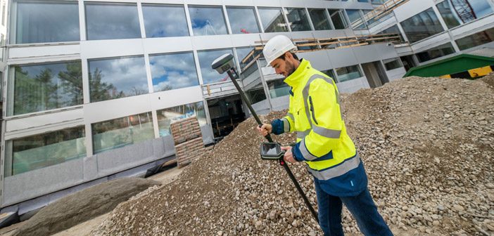
As part of our own internal training we decided to set our Survey Team a challenge:
Measure a stockpile with the new Leica GS18I GNSS, first with the tilt pole and then with imagery using the GS18I’s innovative new Visual Positioning technology. Record the time it took to take the… Read More
Leica GS18 I – Imagine The Power Of Visual Positioning [Webinar]
Categories:
Tags:
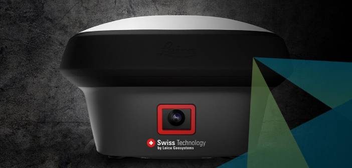
Join us for this Leica ANZ webinar introducing the new Leica GS18 I, a versatile, survey-grade GNSS RTK rover with Visual Positioning.
The new Leica GS18 I is designed for surveying professionals to measure points which previously could not be measured with a GNSS rover easily and accurately.
In this… Read More
Aerialsmiths | Pushing the Boundaries with the Latest Technology
Categories:
Tags:
Aerialsmiths are a fast growing company based in Auckland that specialise in both land and aerial surveys for earthworks and roading projects. They have a DJI Matrice600 Pro with KLAU PPK drone for aerial surveys and a Leica iCON iCR80 Total Station, Leica GPS60 Rover and Leica DS2000 Ground Penetrating… Read More