Maven: Saving Time with Leica Captivate SmartPole
Categories:
Tags:
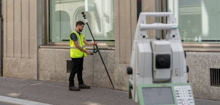
Having worked on some of New Zealand’s largest and most complex residential, commercial and public sector projects, Maven have a focus on delivering excellence for their clients. One of the ways they achieve this is by utilising the latest technology in order to work as productively and efficiently as possible.… Read More
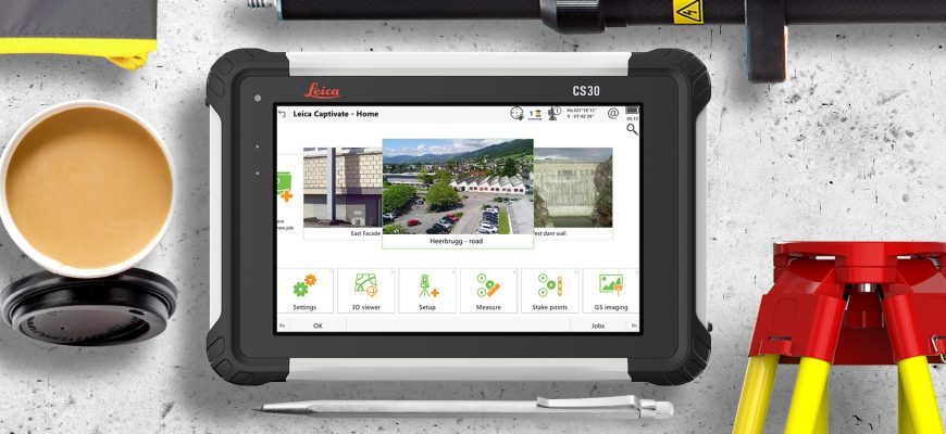
Leica Captivate v7.0 Firmware Update
Categories:
Tags:
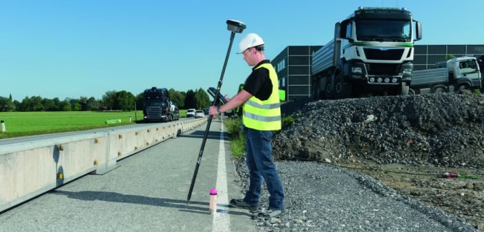
Leica’s software engineers have been working hard on the continued evolution of the Captivate product range, and we are pleased to bring you the following condensed overview for Leica Captivate controllers, GNSS and Total Stations. Leica Captivate v7.0 is a huge release and contains a lot of valuable new functionality,… Read More
Leica BLK2GO: The Power of GrandSLAM
Categories:
Tags:
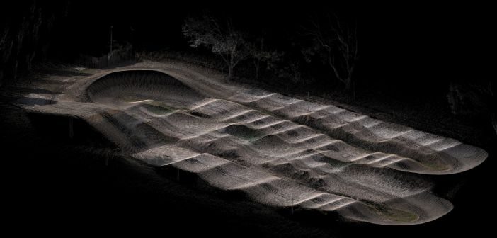
The innovative Leica BLK2GO mobile laser scanner harnesses the power of GrandSLAM (simultaneous localisation and mapping) technology combined with LiDAR SLAM, Visual SLAM, and an IMU!
In this article we take a look at this unique fusion of mobile positioning technologies that enables the BLK2GO to deliver best-in-class handheld mobile… Read More
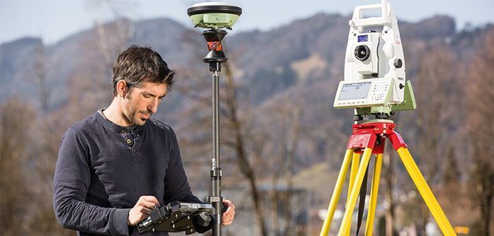
Minimise Errors With The New Leica AP20 AutoPole
Categories:
Tags:
The introduction of Robotic Total Stations enabled Survey professionals to measure and stake with increased automation, however there are still challenges and common errors that occur:
• The reflector pole must be held vertically while measuring and staking points.
• Points can be measured and stored with the wrong target… Read More
The Next Evolution: Introducing the New Leica AP20 AutoPole!
Categories:
Tags:
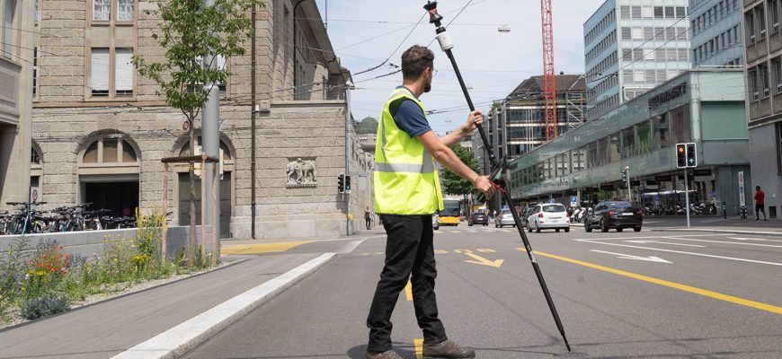
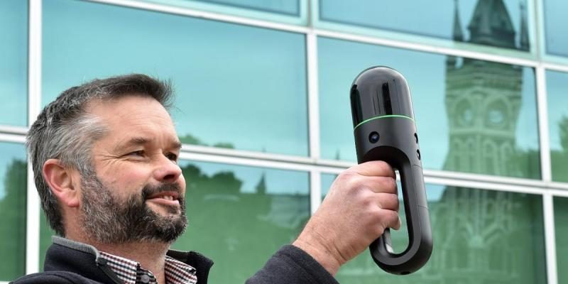
The new AP20 AutoPole is the latest innovation from Leica Geosystems and the world’s first tilt pole for Total Stations!
Leica Robotic Total Stations and MultiStations are a crucial part of everyday survey workflows, relied on by Surveyors around the world for accurate and efficient measuring and layout tasks.
The… Read More
Leica BLK2GO gives new view of buildings at University of Otago
Categories:
Tags:
The University of Otago have recently acquired the Leica BKL2GO handheld scanner. This scanner – believed to be one of Dunedin’s first – can record the exact size of each building and the spaces inside it, along with the location of assets that need maintaining or testing regularly, including heat… Read More
DJI Drone GNSS Post Processing now available in Leica infinity
Categories:
Tags:
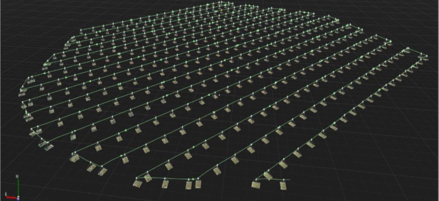
Many DJI drones in operation in NZ offer GNSS RTK capabilities and regularly connect to a local reference station or network RTK service such as SmartFix in real-time. However, there are circumstances in which a connection to a reference station network cannot be established or relied upon. These circumstances could… Read More
Accelerate data transfer from field to office with Leica Exchange
Categories:
Tags:

Leica Exchange optimises your precious time and expenses by providing a fast and secure method to transfer data from Leica Captivate straight from the field to your office. Eliminate the need for long travel times and fumbling around with USBs!
This service enables you to send data directly in various… Read More
How To Use Stylesheets with Leica Captivate & Leica Infinity File Export Formats
Categories:
Tags:
Global Survey customers can benefit from our development of several New Zealand based stylesheets to work with Leica Captivate and Leica Infinity file export formats.
Leica Captivate software supports the export of data in multiple formats for various requirements.
Below are the supported formats for export and the differences between… Read More
Survey Regulation Change: Cadastral Field Notes
Categories:
Tags:
New Zealand Surveyors should be aware and prepared for the upcoming change in Survey regulations that will require Field Notes to be submitted with a Cadastral dataset.
Global Survey have developed stylesheets (in discussion with LINZ) to support this upcoming change in regulations. Survey jobs can either be exported directly… Read More