Go The All Blacks!
Categories:
Tags:

A great turn out at our recent parties to watch the All Blacks v British & Irish Lions games.
We hosted two events in Christchurch and Auckland with a slap up dinner, comedy show and then watched the live game on the big screen.
Just our way of saying thank… Read More
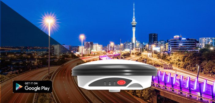
SmartFix – Where Do You Want It?
Categories:
Tags:
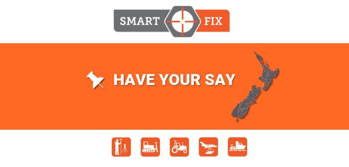
Where’s The Best Location For The Next Reference Station?
We’re on a mission to get 100% NZ coverage and you can help!
SmartFix is NZ’s most extensive GNSS Reference Station Network with access to over 80 reference stations across the country. With all the main locations already covered we’re wondering… Read More
Welcome To The Team – Mark Green
Categories:
Tags:
We’re delighted to announce the appointment of Mark Green to the role of Survey Sales Consultant at Global Survey. Mark is well known to many having been in our industry for over 30 years.
Ray Copeland, Managing Director at Global Survey says “We are delighted to have someone of Mark’s… Read More
Will The LINZ PositioNZ-RT Streams Upgrade Effect You?
Categories:
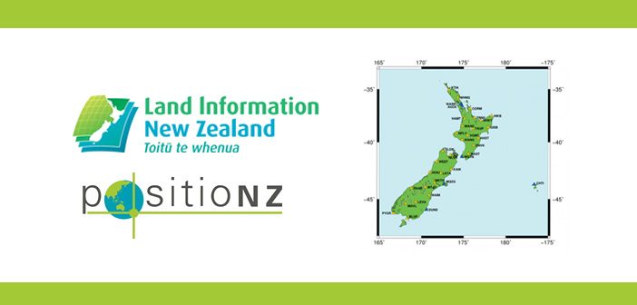
LINZ recently announced that from 1 August 2017 the PositioNZ-RT streams format will be upgraded to RTCM3.2 [MSM] format. In order to make this happen LINZ are decommissioning the older RTCM 3.0 format for all their stations.
How Will This Effect You?
If you’re a Global Survey SmartFix subscriber, there… Read More
“Frameworks For The Future” NZIS Conference 2017
Categories:
Tags:
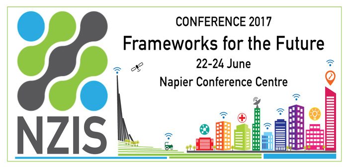
Global Survey has had an association with NZIS for the best part of 20 years and we’re a proud Platinum Partner of the annual conference. This year our very own Bruce Robinson will be presenting on how he sees “Technology and Future Frameworks” in the Applications of Emerging Technologies thread.… Read More
NEW Leica Zeno Connect – Bring Your Own Device!
Categories:
Tags:
Exciting news, there’s now a free app to connect Zeno Smart Antennas to any Android or Windows device!
The new Leica Zeno Connect app enables users to connect their GG02/03/04 Smart Antenna with any Android or Windows smartphone or tablet for free. The bring-your-own-device (BYOD) functionality enables any smart device… Read More
Meet the Leica DS2000 Ground Penetrating Radar
Categories:
Tags:
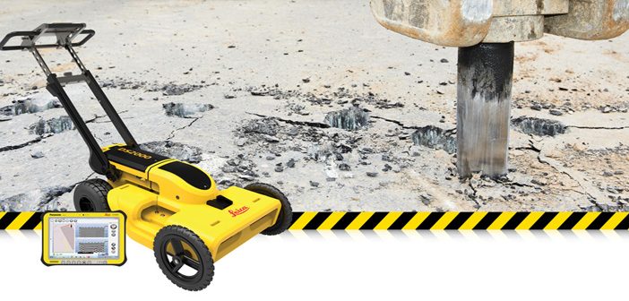
The market for utility locating equipment and ground penetrating radar is evolving. The process of underground utility location, identification and labeling is necessary to increase safety and reduce the risk of accidently damaging buried assets.
The traditional way to locate a buried utility is with an electro-magnetic locator but the… Read More
Leica Partners With Geolantis Utility Mapping Software
Categories:
Tags:
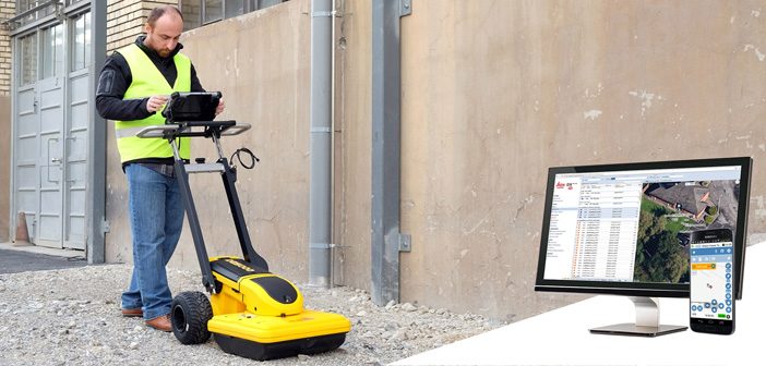
Leica Geosystems have partnered with Geolantis utility mapping software to provide an enterprise-grade solution for Leica detection products.
Michael Pegam, CEO of Geolantis says “The combination of Leica Geosystems premium solutions and our cloud based platform is a unique offering. Users around the world benefit from this combination of leading… Read More
Dealing With The Leap Second Switch
Categories:
Tags:

What Is A Leap Second?
We all know that a Leap Day synchronises our current calendar year with the solar year; the length of time it takes the Earth to orbit around the sun. But what is a Leap Second and why is it important to Surveyors?
It’s exactly the… Read More