Optimise your in-field registration workflow with Leica Cyclone FIELD 360
Categories:
Tags:

The acquisition of high-quality 3D scan data is the foundation of laser scanning. Utilising robust laser scanning software, such as Leica Cyclone FIELD 360, empowers users to capture accurate data, facilitating the immediate creation of deliverables. One specific functionality that plays a pivotal role in this process is in-field registration.… Read More
Grow your business with the Leica Captivate TPS monitoring app
Categories:
Tags:
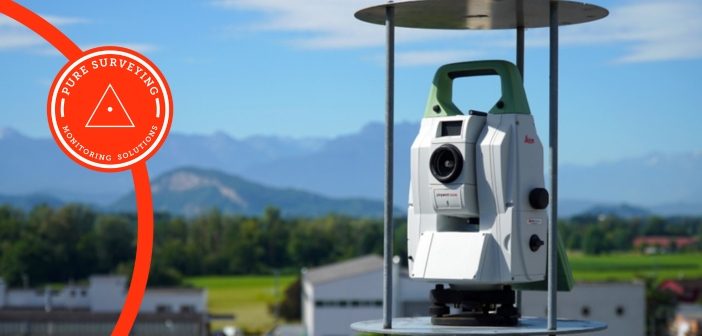
It’s easier than you think to grow your Surveying business by offering Monitoring services. Most Surveying businesses at some time will have monitored structures, or a landslide with annual or monthly visits and produced reports in Excel. It’s when those projects become a little more regular that a more efficient… Read More
Laser scanner comparison: Leica RTC360 vs Leica BLK360
Categories:
Tags:
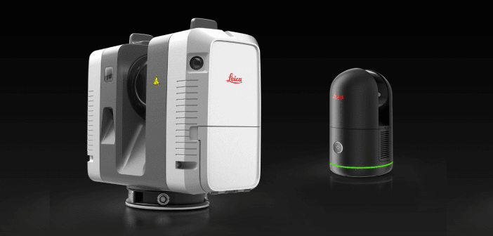
As construction projects become larger and more complex, it is crucial to have the right tools to ensure efficient and accurate work. Two laser scanners, the Leica RTC360 and the next-generation Leica BLK360, are popular choices among building construction professionals.
At first glance, the obvious differences between the two scanners… Read More
Leica Captivate v8.0 – Overview of new features
Categories:
Tags:
Leica Captivate survey field software remains at the forefront of Leica’s ongoing development efforts. As technology and industry demands evolve, Leica’s R&D team remains determined in their efforts of ensuring that the Captivate software not only aligns with but surpasses the requirements and expectations of surveying professionals worldwide.
The new… Read More
University of Canterbury: Embracing technology for the next generation of Engineers
Categories:
Tags:
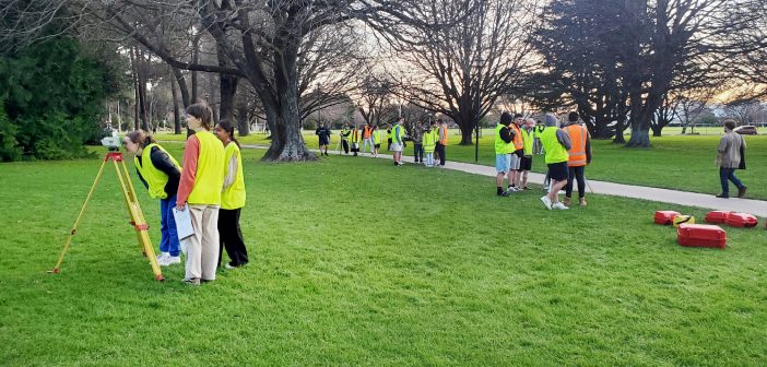
The University of Canterbury Department of Civil and Natural Resources Engineering is known internationally for its successful engineering programmes. In close consultation with industry, the survey teaching module has been redeveloped in 2023 to prepare the new generation of engineering graduates to suit the needs of the modern profession and… Read More
Babbage: Leica RTC360 delivering maximum scanning efficiency on the O Mahurangi – Penlink project
Categories:
Tags:

We join the Babbage survey team onsite to discover how they’re using Leica laser scanning technology to complete over 200 condition surveys of buildings located alongside the new O Mahurangi – Penlink transport link in Auckland.
On this project, it was important for the Babbage team to ensure that… Read More
Mexted Sports Turf: Resurfacing Eden Park with the Leica iCON 3D Grading System
Categories:
Tags:
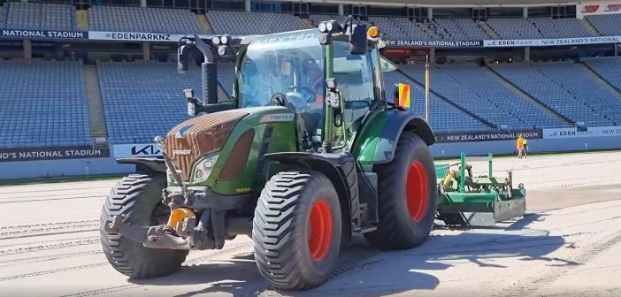
We’re onsite with the team from Mexted Sports Turf at Eden Park in Auckland. After three years, they’ve returned to again complete a resurfacing project at New Zealand’s National Stadium. With short time frames and an entire stadium ground to resurface, the pressure was on to get it right first… Read More
Harrison Grierson: Bringing projects to life with the Leica BLK2GO
Categories:
Tags:
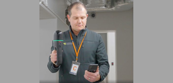
On a crisp Wellington morning, we joined the Harrison Grierson survey team onsite at the Bowen Campus buildings adjacent to Parliament Grounds in Wellington.
This large construction project spans a 1 hectare site comprising of four commercial office towers that will house approximately three and a half thousand workers when… Read More
Everything you need to know about Unmanned Surface Vessels from Seafloor Systems
Categories:
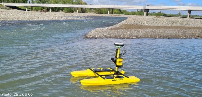
Seafloor Systems are continuing to develop and improve their hydrographic surveying solutions, including the popular EchoBoat and HydroCat systems. As an affordable and effective surveying platform, these systems are highly versatile and can be customised to suit individual, environmental and project requirements.
Unmanned Surface Vessels (USVs) are commonly used by… Read More