

Leica iCON Build in-field verification minimises errors and rework
Categories:
Tags:
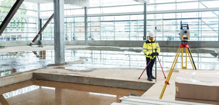
Rework is a costly drain on construction projects and can be a significant problem stemming from outdated verification methods. Traditional processes often create a significant gap between identifying a potential issue and taking corrective action. Data from the job site often needs to be sent back to the office for… Read More
Fulton Hogan deliver paving efficiency at Wellington Airport
Categories:
Tags:

Wellington Airport’s apron taxiway was set to undergo major reconstruction for the first time since the airport opened in 1959. The apron taxiway consists of the paved area between the runway and the airport terminal. This area had reached the end of its design life and needed to be resurfaced… Read More
Laser scanning’s growing use in visual effects and gaming
Categories:
Tags:

Did you know that AEC professionals use the same tools for as-builting as visual effects artists use for movies and games?
Reality capture excels not only in documenting real-world environments, but also in crafting immersive settings for games and movies. In the architecture, engineering, and construction (AEC) industry, precision and… Read More
Taking steps to expand your traditional surveying services into monitoring
Categories:
Tags:

Monitoring is often thought of as a discipline requiring the expertise of a specialist who possesses the unique knowledge needed to carry out monitoring tasks. In reality, monitoring is repeatedly and consistently surveying the same object and comparing the results over a period of time. On large and complex installations… Read More
Discover the new and improved Leica BLK360!
Categories:
Tags:

The new Leica BLK360 has the same bones as the original BLK360, but a completely different constitution!
In this article we discuss the key differences between the first generation original model and the new and improved Leica BLK360.
The newly released Leica BLK360 represents a full circle in the Leica… Read More
Optimise your in-field registration workflow with Leica Cyclone FIELD 360
Categories:
Tags:

The acquisition of high-quality 3D scan data is the foundation of laser scanning. Utilising robust laser scanning software, such as Leica Cyclone FIELD 360, empowers users to capture accurate data, facilitating the immediate creation of deliverables. One specific functionality that plays a pivotal role in this process is in-field registration.… Read More
Grow your business with the Leica Captivate TPS monitoring app
Categories:
Tags:
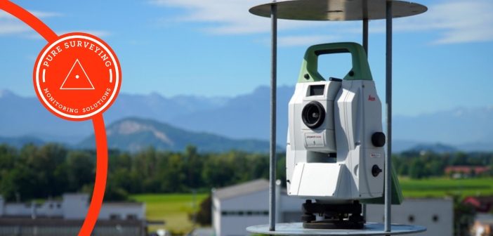
It’s easier than you think to grow your Surveying business by offering Monitoring services. Most Surveying businesses at some time will have monitored structures, or a landslide with annual or monthly visits and produced reports in Excel. It’s when those projects become a little more regular that a more efficient… Read More
Laser scanner comparison: Leica RTC360 vs Leica BLK360
Categories:
Tags:
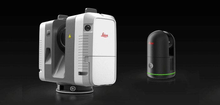
As construction projects become larger and more complex, it is crucial to have the right tools to ensure efficient and accurate work. Two laser scanners, the Leica RTC360 and the next-generation Leica BLK360, are popular choices among building construction professionals.
At first glance, the obvious differences between the two scanners… Read More
Leica Captivate v8.0 – Overview of new features
Categories:
Tags:
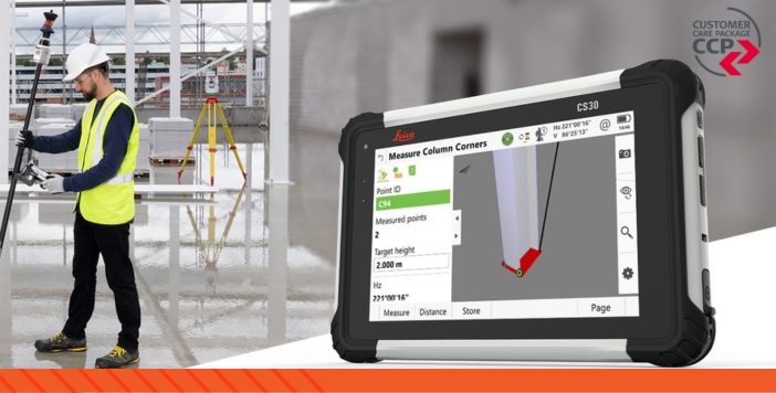
Leica Captivate survey field software remains at the forefront of Leica’s ongoing development efforts. As technology and industry demands evolve, Leica’s R&D team remains determined in their efforts of ensuring that the Captivate software not only aligns with but surpasses the requirements and expectations of surveying professionals worldwide.
The new… Read More
University of Canterbury: Embracing technology for the next generation of Engineers
Categories:
Tags:
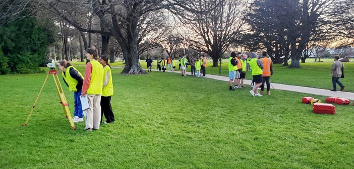
The University of Canterbury Department of Civil and Natural Resources Engineering is known internationally for its successful engineering programmes. In close consultation with industry, the survey teaching module has been redeveloped in 2023 to prepare the new generation of engineering graduates to suit the needs of the modern profession and… Read More