** This webinar has already happened but the recording is now available. **
Webinar Recording Available Here
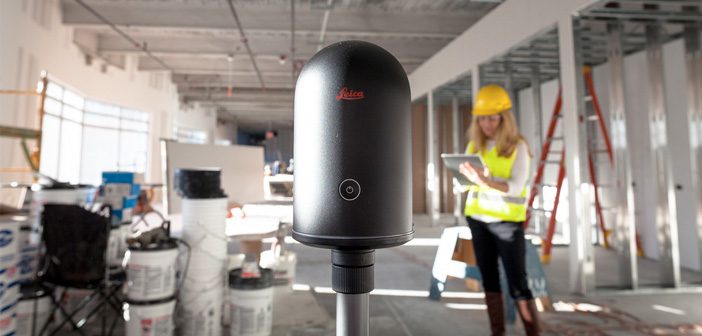
Get the most out of your Leica BLK360: Deliver meaningful information
The BLK360 is proving to be versatile across many applications and industries. At the touch of a button, you can capture 3D point cloud data at 360,000 points per second.
How can you make the most out of your BLK360? This webinar will help you understand how you can get the best out of the 3D information – from gathering point clouds to converting them to meaningful and actionable information.
See how Formby Surveys have used the BLK360 in some of their projects and have turned their point cloud data into information that has helped them improve their day-to-day operations and decision making on their projects.
In this 1-hour session, Paul Burrows, Scanning Solutions Manager at Leica Geosystems will help you:
Find the right workflow for your projects – how to work faster with the simplest workflow to deliver actionable data
- How to access the captured data
- How to view, interpret and integrate the data to help make quicker, more informative decisions
- How to share the data and work collaboratively on your project
Experience live demos which highlight how you can prepare, model, visualise and collaborate
- Simple, fast and portable reality capture
- Efficient data preparation
- Detailed and powerful modelling
- Collaborative sharing with internal and external stakeholders
The webinar will be held on 12th September at 1PM BST.
Although the timing is not ideal for New Zealand, if you register a copy of the webinar recording will be sent to you by email.
REGISTER HERE
SHARE THIS ARTICLE