
DJI Drone GNSS Post Processing now available in Leica infinity
Categories:
Tags:
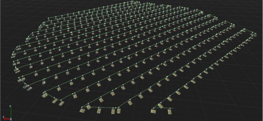
Many DJI drones in operation in NZ offer GNSS RTK capabilities and regularly connect to a local reference station or network RTK service such as SmartFix in real-time. However, there are circumstances in which a connection to a reference station network cannot be established or relied upon. These circumstances could… Read More
eBee X Survey Drone: Maximise Your Aerial Mapping Efficiency
Categories:
Tags:
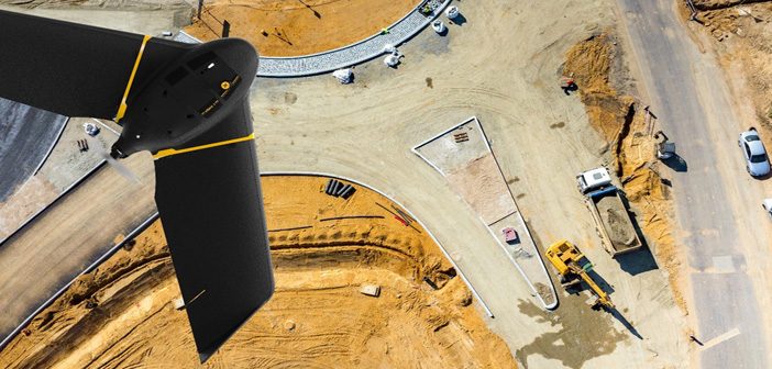
The senseFly eBee X survey drone should be added to every aerial surveyor’s toolkit! Its fixed-wing design with high spec features provide an all-in-one solution to everyday aerial surveying needs. It is designed to deliver maximum efficiency by addressing common issues such as time constraints, weather predicaments and safer access… Read More