The Cadastral Survey Amendment Rules 2023 came into effect on July 1st 2024. The only official NZ vertical datum used to describe a height limited boundary is now NZVD2016 .
The majority of SmartFix stations are Order 3 for their NZGD2000 coordinates and transmit NZGD2000 ellipsoidal heights to users. GNSS systems using the NZVD2016 geoid model will automatically convert ellipsoidal heights to NZVD2016 heights.
The surveyor should verify the NZVD2016 height of the reference station to ensure alignment with LINZ values and to ensure the rover height is consistent with the datum.
Remember to perform necessary checks and adhere to appropriate occupation times based on the required accuracy and distance from the reference station
Survey & Spatial New Zealand recently produced a webinar on this subject with useful refresher information:

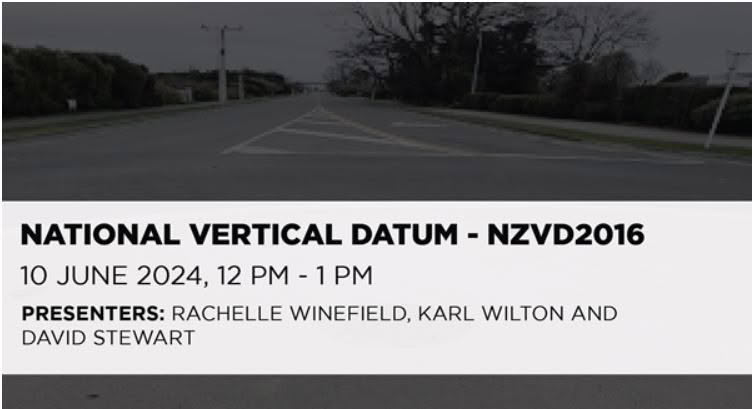
WEBINAR: National Vertical Datum – NZVD2016
The Cadastral Stream and the Positioning & Measurement Stream are pleased to jointly present a Webinar on the national vertical datum, NZVD2016.
While the datum has been in use for some time now, a number of Local Authorities have continued to require levels in terms of older local vertical datums. However, recent adoption of NZVD2016 by Local Authorities has increased and LINZ will require it for all surveys lodged after 1st July 2024. This is likely to further accelerate its adoption.
This webinar will be a refresher on the datum, describing how it is defined and how it differs from the earlier local vertical datums. It will discuss methods to establish new points by GNSS in terms of the datum, as well as various methods to transfer levels. It will also consider conversions between datums.
There will be comments from LINZ staff about the requirements for using the datum in cadastral survey datasets lodged after 1st July 2024.
Watch the webinar on demand on the Survey & Spatial NZ website
Contact our SmartFix support team for technical assistance – info@globalsurvey.co.nz or 0800 453 422
SHARE THIS ARTICLE


