Having worked on some of New Zealand’s largest and most complex residential, commercial and public sector projects, Maven have a focus on delivering excellence for their clients. One of the ways they achieve this is by utilising the latest technology in order to work as productively and efficiently as possible.
They have a well-established network of offices across the North Island, and an expanding presence in Christchurch and Queenstown. As part of their expansion in the South Island, Licensed Cadastral Surveyor, Andrew Marks, recently joined the business.
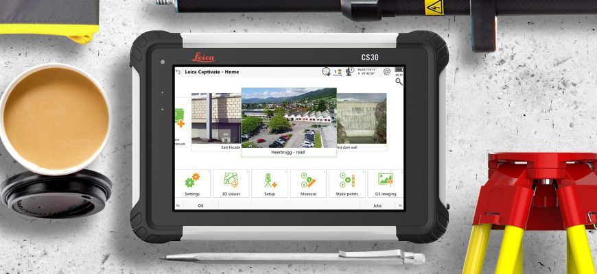
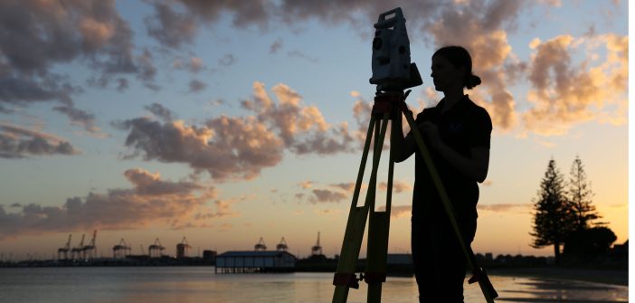
Andrew sat down in Christchurch over a coffee with Richard Harrison and shared some of his approach to cadastral surveying. Andrew arrived in time to define the requirements for new survey equipment for the Christchurch office, and is now the proud operator of a new Leica TS16 Robotic Total Station and GS18T GNSS Tilt Rover and upgraded reference station. The CS30 7” Tablet controller ties everything together and enables some effective field workflows, which Andrew is enjoying refining.
 |
“My role in Christchurch covers all the survey requirements that our customers, planners and engineers generate, so I need to be efficient in my field and office workflows. The integrated Leica Captivate TS16 and GS18T system allows me to keep my time onsite short, and capture all the data I need in an efficient way.” – Andrew Marks, Licensed Cadastral Surveyor |
Working Smarter
In particular, Andrew has refined Cadastral Survey workflows using the Leica Captivate SmartPole functionality. SmartPole has been a standard part of Leica’s technology for almost 15 years and delivers the ability to seamlessly move between Robotic and RTK GNSS operation as the task demands, with the GNSS and Prism on the same pole.
Leica SmartPole provides you with complete freedom of choice because you can easily switch between GNSS and total station mode and vice-versa. Measure each point either with GNSS or total station or take advantage of using both at the same time for the total station setup. SmartPole also allows you to conduct setup on-the-fly, which gives you complete flexibility for maximum productivity.
For cadastral operation, standard practice for GNSS occupations is to re-measure the mark after at least 30 minutes. This can be time-consuming and inconvenient, especially for marks with challenging access.

The SmartPole workflow refined by Andrew includes:
- Transfer data from 12d Traverse Spreadsheet along with georeferenced background imagery, directly to the Captivate controller
- Using a local GNSS reference station, calibrate on a control mark, then establish a new, intervisible mark in a safe, convenient location for the Total Station
- Setup and orient the total station between the marks, completing checks on others nearby
- Stake and/or establish a cadastral mark using GNSS…SmartPole then enables an immediate independent re-measurement of the mark using Total Station
- A final check on local control completes the survey
A fully compliant cadastral fieldnote report is created on the controller as well as measurement data for use directly in 12d. Andrew also has written in-house tools which further optimise the QA procedure.
Andrew told us “This methodology saves me time in the field and in the office. I have all the QA information I need for the field observations, and an immediate and independent verification of my work before I leave the field. the cadastral fieldnote report retains the original mark names from the Traverse Spreadsheet, so my time in the office is minimised.”
Maven’ embracing of technology and improved workflows enables their survey team to work efficiently. Cutting down the time required at each site has a number of flow on benefits, including less interruption to their client’s schedules and the ability to visit a higher volume of sites in a day.
Visit the Maven website to find out more about their recent projects.
To find out more about Leica Captivate SmartPole, contact our team on 0800 453 422 or info@globalsurvey.co.nz
SHARE THIS ARTICLE


