Leica Partners With Geolantis Utility Mapping Software
Categories:
Tags:
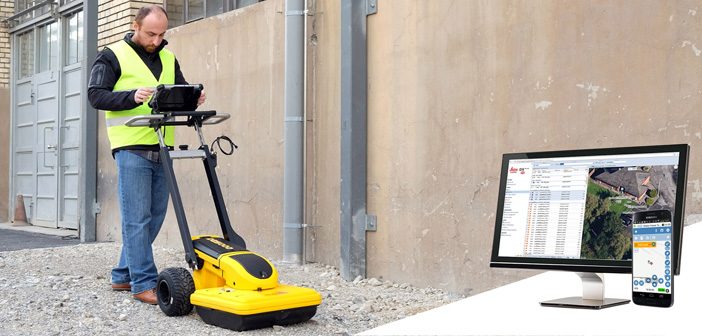
Leica Geosystems have partnered with Geolantis utility mapping software to provide an enterprise-grade solution for Leica detection products.
Michael Pegam, CEO of Geolantis says “The combination of Leica Geosystems premium solutions and our cloud based platform is a unique offering. Users around the world benefit from this combination of leading… Read More