
Introducing the CHC AlphaAir 450 LiDAR: Smaller, lighter sensor for Drone Surveying
Categories:
Tags:
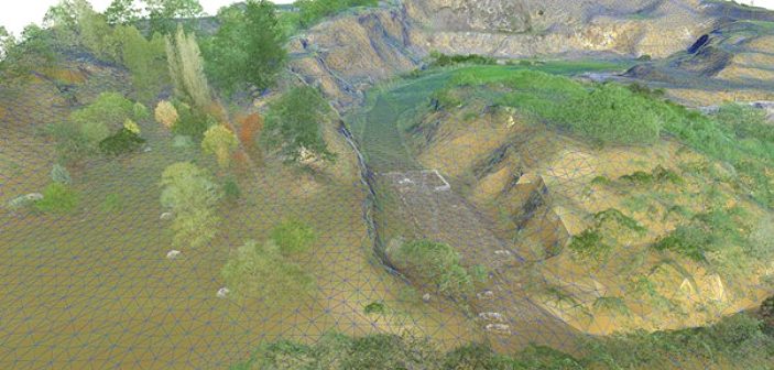
3D terrain mapping with drones has become common practice over the last decade. Relatively low-cost drones combined with autonomous mission planning apps and user-friendly photogrammetry software (such as ContextCapture and Leica Infinity amongst others) have provided highly efficient workflows for building accurate and complete 3D models of terrain more quickly… Read More