
Advancing how you work with geodata
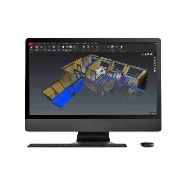
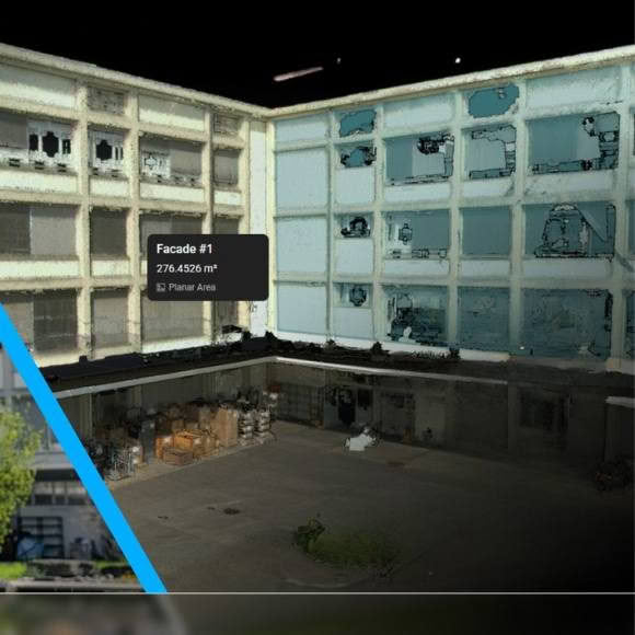
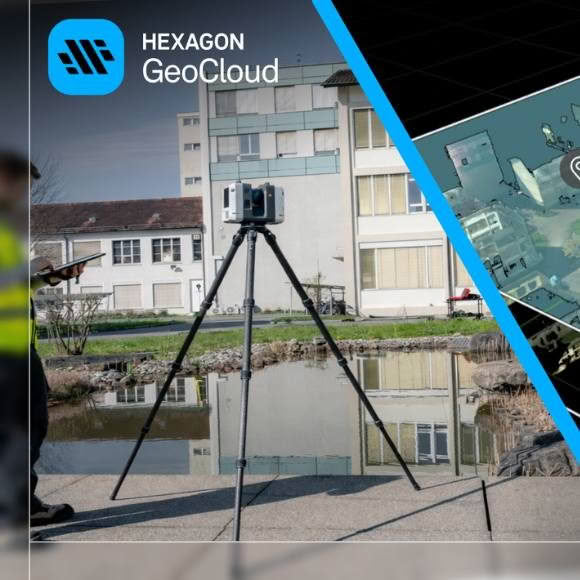
GeoCloud provides geodata visualisation and AI-powered analysis that bring together point clouds, survey points and linework, CAD data, and models to validate measurements, check geometry, and coordinate control and layout. In‑browser point cloud classification and meshing, measurement, GeoTags, and shared views help teams act on geodata in full spatial context, while desktop integrations empower scan-to-model and survey deliverables.
Bring your survey and reality capture data into one secure cloud workspace and give your teams a faster way to share, collaborate, and deliver.
HxGN GeoCloud is a cloud-based collaboration portal powered by HxDR, Hexagon’s cloud-native platform for geospatial solutions at any scale. HxGN GeoCloud is an evolving service suite that makes your daily workflows with sensors and data more efficient.
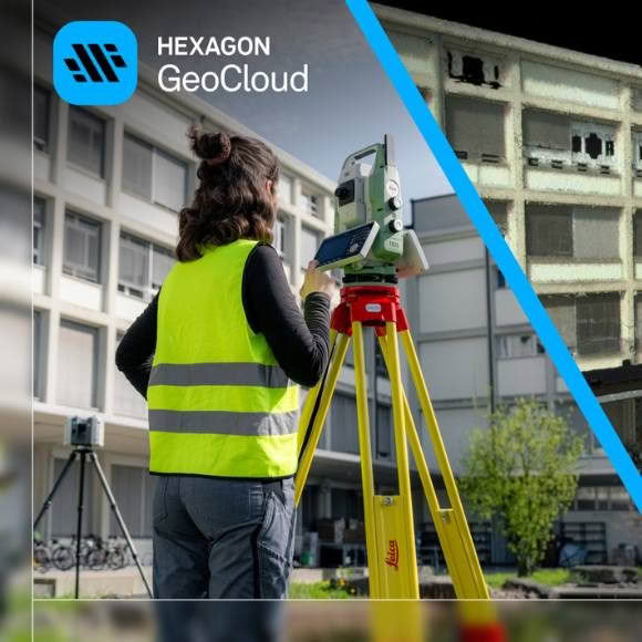
From field capture to CAD deliverables, GeoCloud connects every step of the survey workflow in one secure cloud environment. Turn survey data into faster decisions and better deliverables. Whether you’re managing topographic surveys, infrastructure mapping, utilities documentation, or construction verification, Hexagon GeoCloud gives your team the tools to work smarter from field to final deliverable:
- Reduce site revisits through off-site review of survey data.
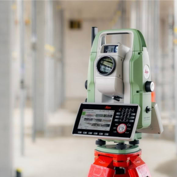
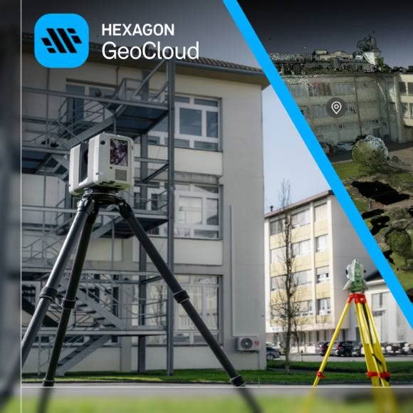
- Instantly share data from total stations, GNSS, laser scanners, and more.
- Share data between the cloud and any Windows PC software with the GeoCloud desktop app.
- Stream survey and point cloud data into Cyclone 3DR and CAD workflows.
- Identify issues earlier to verify work and avoid downstream rework.
Enhanced survey workflows in Leica Infinity
Leica Infinity is the trusted geospatial office software for survey professionals, providing a single environment to visualise, manage, process, and deliver survey data. When combined with GeoCloud, Infinity can be directly extended to:
- Transfer survey data seamlessly between field and office with no manual file hand‑offs.
- Ensure teams always work with the latest project data using centralised cloud storage.
- Review and verify field data while crews are still on site, helping reduce rework.
- Provide shared, secure access to project data via Infinity, field software, or a web browser.
Enhanced survey workflows in Cyclone 3DR
Cyclone 3DR is a powerful desktop modelling and analysis software for reality‑capture and survey deliverables. When integrated with GeoCloud, it becomes part of a connected workflow that improves collaboration, reduces duplication, and accelerates delivery by enabling teams to:
- Access centrally shared point‑cloud data for deliverable creation, supporting DTMs, contours, slope analysis, and fast export to CAD.
- Work from a common project data set across teams, ensuring analysis and modelling are performed on the latest available data.
- Apply guided, domain‑specific workflows, including rail, road, and tunnel surveys, within a connected data environment.
- Generate cut & fill and stockpile calculations with automated reporting, with results easily shared across the project team.
Advanced visualisation and navigation of survey data
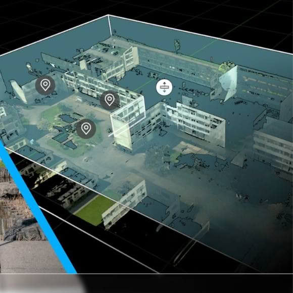
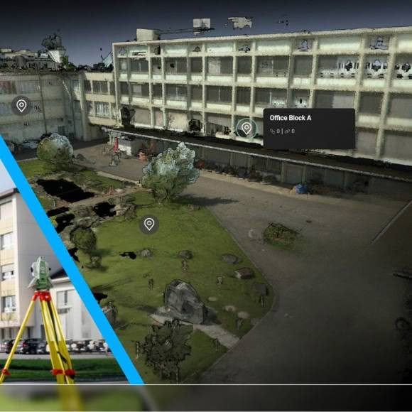
- Explore point clouds, meshes, and GNSS/total station data (coming soon) in a browser-based 3D environment.
- Navigate complex sites without extra software directly in the browser.
- Share progress reviews with any stakeholder, even those outside your organisation.
- Explore with instant access to the correct floor or zone without moving through the entire 3D space.
- Intuitive 3D navigation lets teams explore terrain, point clouds, and surface data directly in the browse.
- Focus views using SiteMap Levels and Limit Boxes to isolate key survey areas.
- Jump directly to utilities, parcels, corridors, and elevations.
Key benefits for teams using Hexagon GeoCloud:
Scalable data collaboration and visualisation for surveying teams
- Give teams secure, user-based access to datasets of any size—no hard drives required.
- Access projects from field software, in a browser or sync to desktop applications while sharing updates through simple hyperlinks.
- Survey data captured in the field becomes instantly available in the office, creating a reliable single source of truth across projects.
Survey with precision
- Validate site conditions against images, meshes, or point clouds to reduce repeat site visits.
- Share accurate measurements with engineers and utility teams.
- Measure in GeoCloud or in Cyclone 3DR and other software via Leica CloudWorx
GeoTags connect field insights to office workflows
- Attach survey notes, field observations, and issues directly in your datasets so teams stay aligned.
- Flag deviations early to prevent rework.
- Add text, categories, attachments, and links to capture site context.
- Track issues from field capture through office review.
Secure, centralised data storage and sharing for your projects
- Keep survey data secure, synchronised, and accessible from field to office.
- Reliable field-to-cloud-to-office data flow, bundle all file types within projects and folders from survey data to point clouds, photos, notes and more.
- Reduce rework through on‑site verification.
- Secure, centralised storage.
- Controlled collaboration with partners.
- Faster office workflows: Synchronise your Windows file system with the cloud with the GeoCloud desktop app.
- Direct integration with Leica Captivate, Leica iCON field software, X-Pad Ultimate and many more.