

Leica Captivate – Don’t just see data, experience data
Experience the future of surveying by immersing yourself in the industry’s only touch-technology software, test-driving the world’s first self-learning total station, and bringing live-streamed intelligent cloud-based imagery into the field. You will do things you never thought possible.
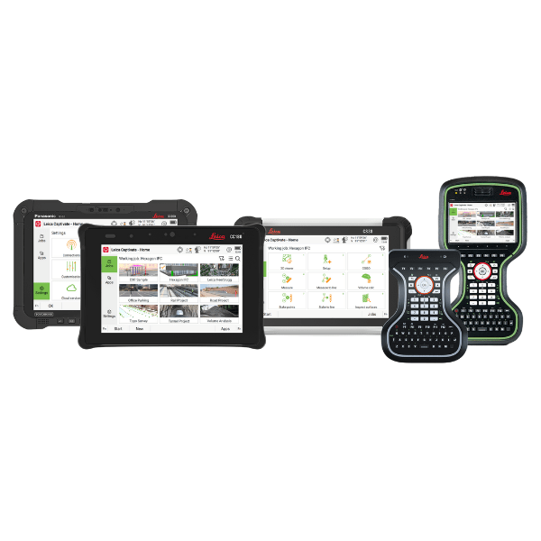
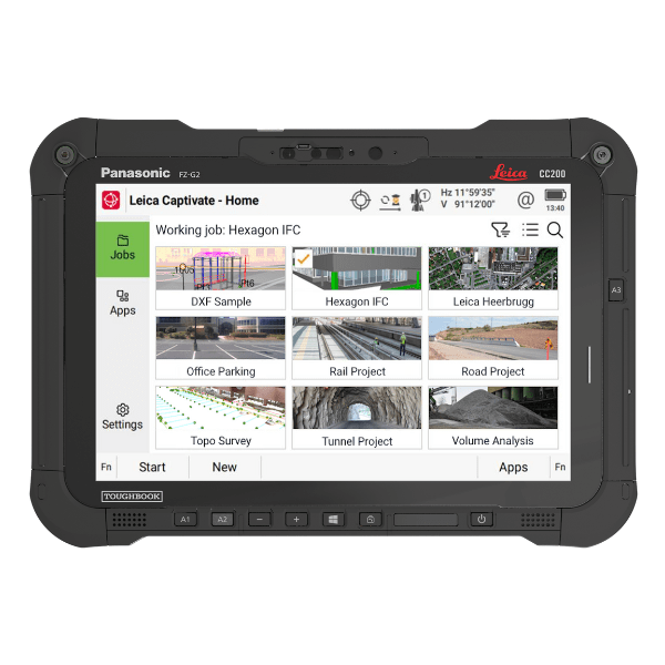
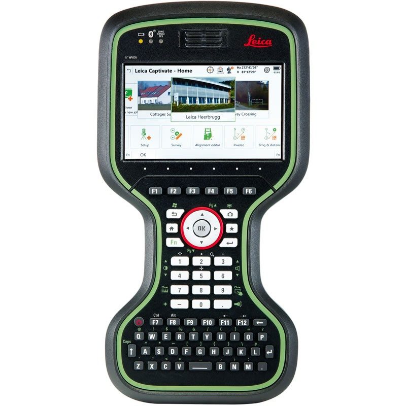
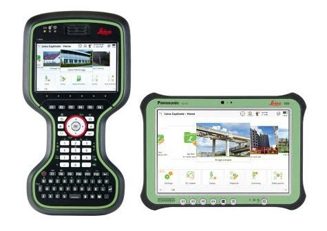
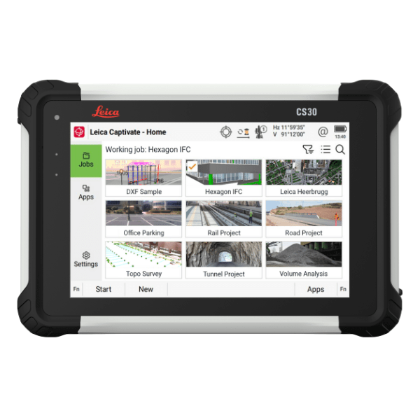
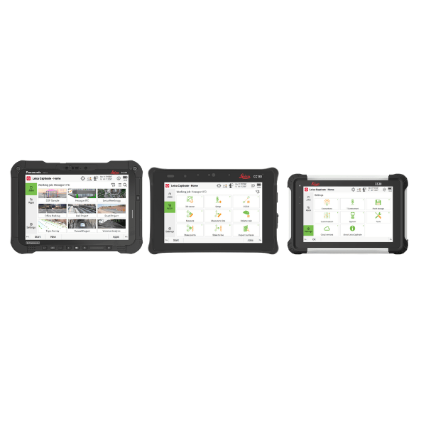
Leica Captivate is an industry-revolutionising field software for a variety of measurement instruments that turns complex data into the most realistic and workable 3D models. With easy-to-use apps and familiar touch technology, all forms of measured and design data can be viewed in all dimensions. Leica Captivate spans industries and applications with little more than a simple swipe, regardless of whether you work with GNSS, total stations or both.
Experience Leica Captivate:
- BIM models and Urban designs loaded into instrumentation and back again.
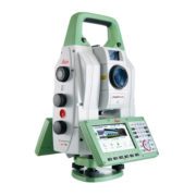
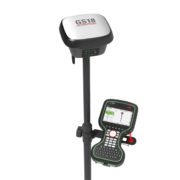
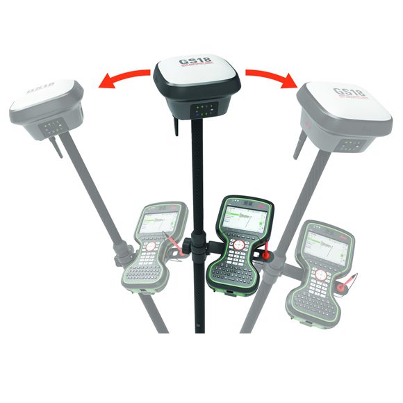
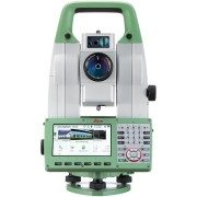
- New and innovative Total Station & GNSS technology.
- GNSS & Total Station Controllers with BUILT IN range finders, compasses and inclinometers.
- Understand how to leverage a reference station network for Cadastral surveys.
Talk to use about how to combine Leica Captivate and the Leica GS18 T GNSS smart antenna for Augmented Reality applications.
Let us know if you’d like a free demo of Leica Captivate.