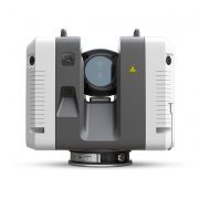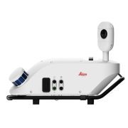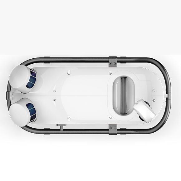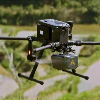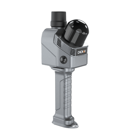
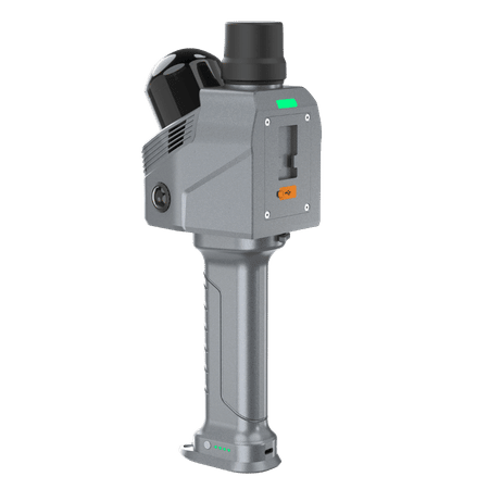
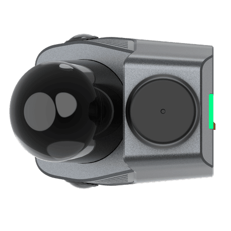
The RS7 is CHCNAV’s advanced handheld LiDAR SLAM scanner designed for precise indoor and building‑scale mapping.
It combines high‑accuracy INS with SLAM and uses an IMU with bias instability under 0.5°/h to maintain reliable tracking in low‑feature environments. Its LiDAR system captures 1.15 million points per second across a 360° × 189° field of view, supported by dual 12 MP cameras, 3D Gaussian Splatting, and streamlined cloud‑connected workflows for efficient 3D data capture.
Key Features
- High‑rate LiDAR: 1.15M pts/s with a 360° × 189° FOV
- Precision IMU: Bias instability <0.5°/h
- HD Imaging: Dual 12 MP cameras optimized for low‑light clarity
- Expandable Platform: Open hardware interface and SDK for integration
INS + SLAM Fusion for Reliable Mapping
Equipped with a high-precision IMU with 0.5°/h bias instability, the RS7 accurately tracks motion in feature-poor environments such as corridors and multi-level staircases. Its powerful inertial performance ensures stable and complete SLAM results even where geometric features are limited.
High-Rate Scan and Ultra-Wide FOV
The RS7 features a new-generation LiDAR scanner with a point rate of up to 1.15 million points per second, capturing fine objects and surface textures with high precision. With an ultra-wide field of view of 360° × 189°, it captures ceilings and confined spaces without manual angle adjustments, obtaining complete and accurate scans.
HD Color for Pixel-Level Reality
Dual 12 MP HD cameras with Sony binning technology deliver sharper images in low-light conditions. CHCNAV HPGS 2.0 engine generates 3D Gaussian Splatting models for real-color scene reconstruction, combining visual realism with precise geometric details.
Expandable Design and Cloud Ready
RS7 features an expandable design with an open hardware interface and SDK support. Integrated with CHCNAV CoCloud, RS7 delivers a unified device-to-cloud workflow. Field data is uploaded with a single click, and processing runs automatically. Point clouds, mesh models, and 3D Gaussian Splatting results are ready for use.