Showing all 12 results
-

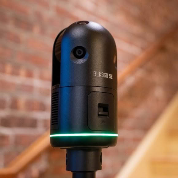
Leica BLK360 SE
More Info -


Leica BLK360
More Info -
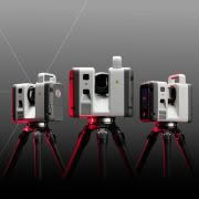

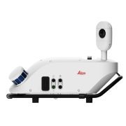
Leica RTC Series
More Info -


Leica BLK2GO
More Info -

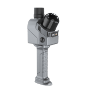
Leica BLKARC
More Info -
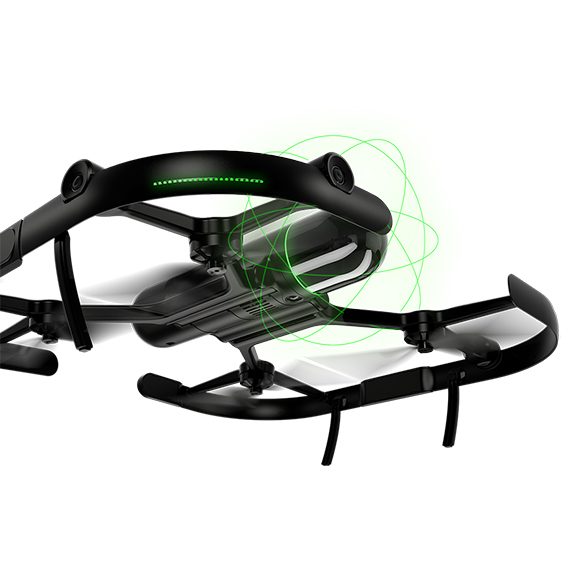
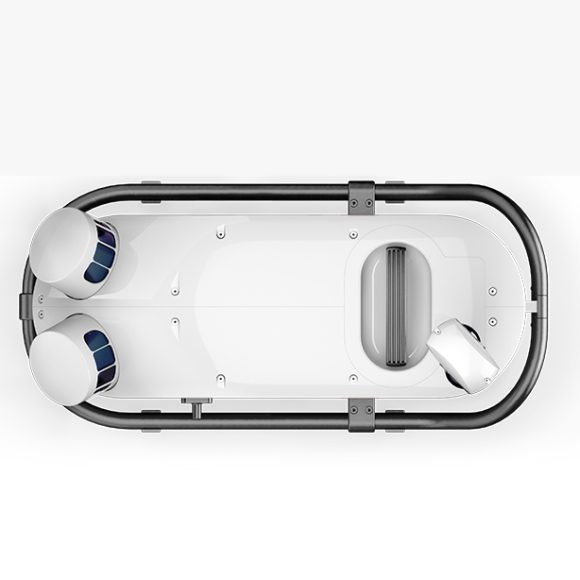
Leica BLK2FLY
More Info -
CHCNAV RS7
More Info -

CHCNAV RS10
More Info -
Leica Pegasus TRK100
More Info -

Leica Pegasus TRK Neo
More Info -


Leica Pegasus TRK Evo
More Info -

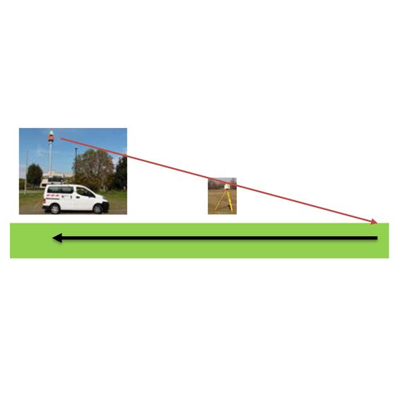
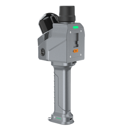
SCAN&GO Level Plane
More Info