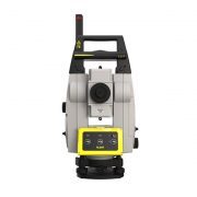
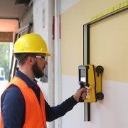
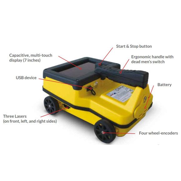
Maximise efficiency with intelligent workflows.
Leica iCON Build construction software provides you with unseen versatility and flexibility. Improve speed, performance and accuracy when you carry out all positioning related tasks with just one software solution.
Leica iCON Build Benefits:
- Easy-to-use interface
Using the same, interchangeable user interface means you only need to learn its functionality once resulting in less training, increased motivation and keeping your investment to a minimum. - Works with all Leica iCON products
The ability to exchange hardware between various construction sites, projects and site personnel maximises your flexibility and reduces downtime. - Exceptional layout functionality
The unique features and unmatched graphical support of Leica iCON Build allow you to carry out specific tasks on site in an easier way. Laying out profile boards, control lines, branch arcs, bay windows, point patterns, offsets etc. becomes a simplified process. - Superior one-person operation
Leica iCON build software enables you to carry out the work yourself using the pole in one-person mode. Layout formwork, check position of steelwork etc. using the remote capability. - Complete customisable solution
Leica iCON Build is part of the unique iCONstruct toolbox, providing you with one solution for all your construction tasks across the entire job site. iCONstruct offers you the possibility to extend and customise applications according to your needs.
Leica iCON Build software offers you an entirely new work experience. Its innovative, straightforward software design, smart workflows and easy-to-understand user interface make work a pleasure and increase your productivity on site. Leica iCON Build software is specifically designed for construction helping you complete your various tasks fast and easily.
Data management – your way
Leica technology aligns with your way of working, across all phases of construction. iCON Build supports two-way data flow across multiple platforms to deliver a connected solution with the flexibility to work within your existing processes.
Data captured onsite with iCON equipment flows back to the office through Autodesk Construction Cloud, Procore, Bricsys 24/7, Hexagon GeoCloud and other cloud-based solutions. Tools such as these ensure your field crews work with the latest design data and can submit results back to the office without delay.
Intuitive Map Views
Work directly from 2D, 3D, and BIM design data with intelligent map controls, including Smart Zoom & Auto-Pan. Manage data and graphical contents of the map with Point Lists, File & Layer controls and clever viewing options. The intuitive icons, colour coded layout results and workflow wizards ensure secure decision making. The enhanced map functionality via Split Screen and 3D graphics provide a clear data representation.
In-field data preparation
Easily create points, lines, arcs, anchor bolts, and patterns within seconds. Create new or add missing elements from design data quickly and easily in order to update plans to reflect true situations, allowing for immediate response to changes on site when they happen.
Exceptional layout functionality
Simply and accurately layout points, lines and arcs from 2D, 3D and BIM File formats with optimised views and colour coded quality indicators and tolerance checks to ensure a fast and accurate layout every time.
Enhance workflows further with inbuilt smart workflows to auto-stake layout positions for hangers, inserts, and wall penetrations.
Real-time in-field verification
Capture, Verify, Layout. Collect fast as-built data from iCON total station measurements or scan data from the Leica MS60 MultiStation exactly when you need it. Simple automated workflows enable data capture for all surface types such as pre and post pour of concrete slabs, structures, and MEP installations. Quick real-time calculations highlight areas out of tolerance for immediate layout and correction in the field.
Leica iCON app verifies the correct on-site placement of walls, formwork, columns, pipes and more.
As-built and Checks
Capture points, lines or arcs in one step and store millimetre accurate 3D data for progress tracking and completion. Verify correct on-site placement of walls, formwork, columns, pipes, etc., for in-field decisions where all results are immediately visible within the map views.
Reporting
Export accurate data based on true field results or application-based PDF reports for project progress tracking, documentation of existing conditions and necessary design updates.


