Leica iCON GPS 70 T
Ultimate Construction GNSS Rover and field solution for maximum efficiency. Speed up – anytime, anywhere.
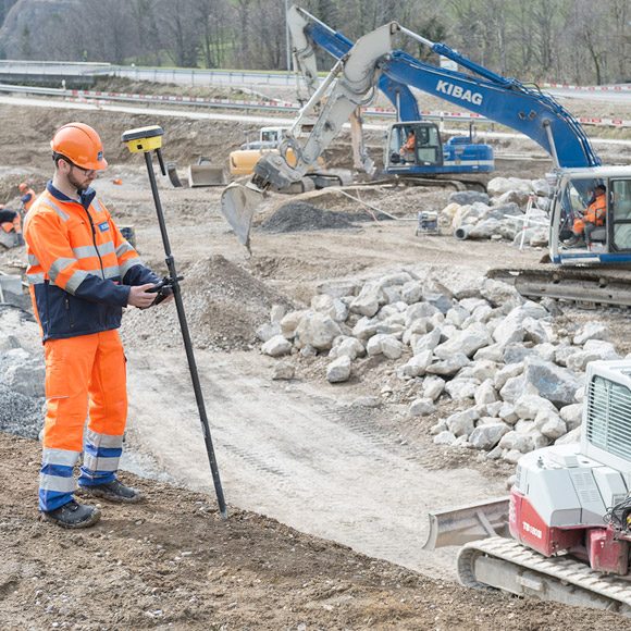
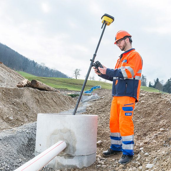
For construction professionals, Leica Geosystems has developed the most efficient GNSS rovers, the Leica iCON GPS 70 Series. With the iCON GPS 70 T you can measure and stakeout points quicker than ever before without the need to keep the pole vertical and level the bubble.
Offering permanent tilt compensation, resistance to any magnetic interference and calibration-free, the Leica iCON GPS 70 T represents the ultimate GNSS rover for any construction site.
The iCON GPS 70 T releases the limitations of working with the pole in vertical positions or close-by magnetic interference. It increases employees’ productivity on the construction site by processing as-built field data and stake-out designs faster, while increasing accuracy and reducing errors.
Without time-consuming calibration procedures, users measure where it was not possible before with improved quality control. The seamless integration of the Leica iCON GPS 70 series into the Leica iCON field software leads to simple workflows which require less training and avoid costly downtime.
The combination of the latest GNSS technology and inertial measurement unit (IMU) equips the iCON GPS 70 T with permanent tilt compensation and makes it resistant to any magnetic interference. Being fully calibration-free, the iCON GPS 70 T is ready when you are – anytime, anywhere.
Tilt – Traceability – Trust
With the Leica iCON GPS 70 T there is no need to hold the pole vertical and level the bubble when measuring. Reliable traceability by storing tilt values with each measurement improves the quality control of any measured point. The permanent tilt compensation extends the measurement possibilities on any construction site and improves quality and accuracy of the collected data.
Ease-to-use handheld device
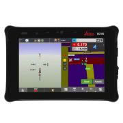
Combined with the Leica iCON GPS 70 GNSS rover, you will benefit from the rugged and lightweight Leica iCON CC180 tablet computer.
iCON field solution – unmatched simplicity
Leica iCON field offers a smart and customised positioning solution for all construction sites. Construction-tailored, intelligent software applications, workflows and an innovative software design result in improved performance. Seamlessly integrating into all iCON sensors and Leica ConX, Leica Geosystems provides all the tools to increase the efficiency of your field operations. The iCON GPS 70 series follows this concept and perfectly complements the existing iCON field solution.


