
Advanced Ground Penetrating Radar for Subsurface Utility Mapping
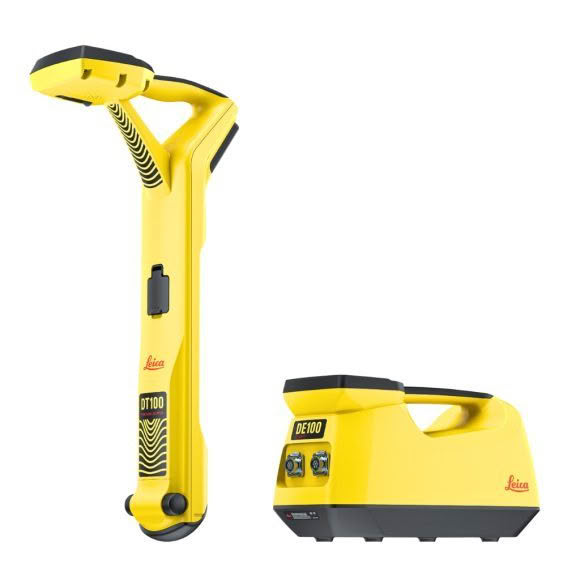
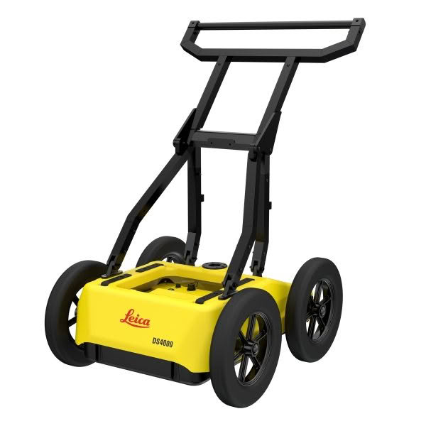
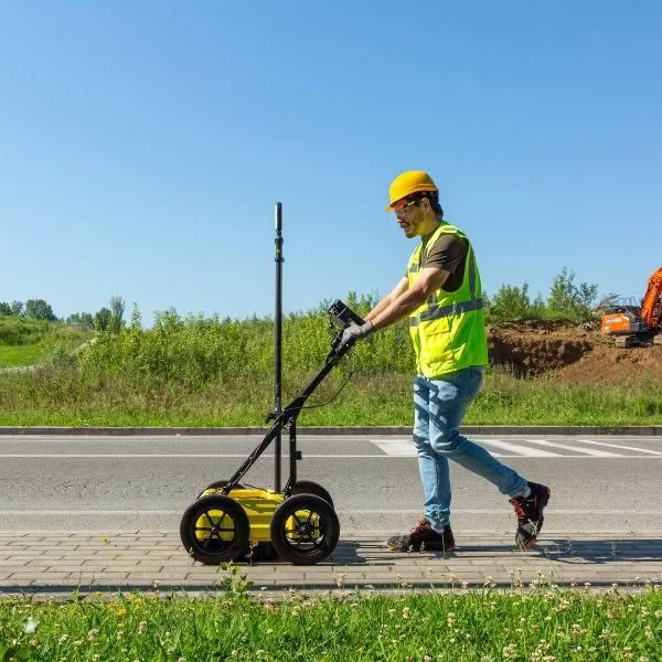
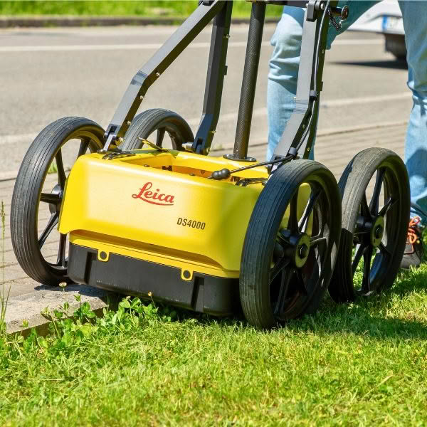
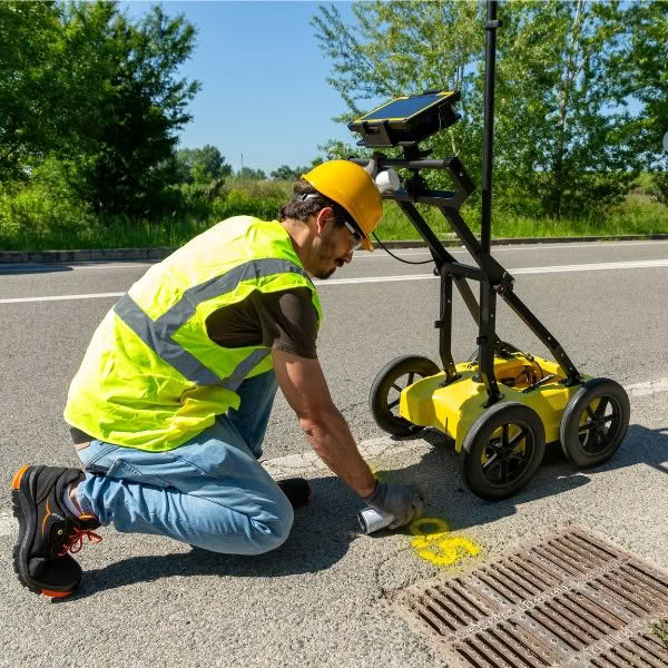
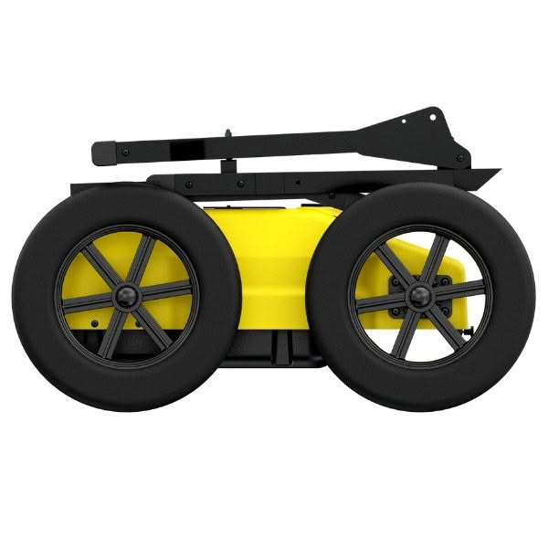
The Leica DS4000 is a next-generation ground penetrating radar (GPR) system designed for high-precision detection of underground utilities in complex urban environments.
Powered by Leica’s patented Equalised Scrambling Technology (EsT), the DS4000 delivers enhanced clarity and depth performance, making it ideal for locating both shallow and deeply buried assets—including fibre optic cables, metallic and non-metallic pipes, and other critical infrastructure.
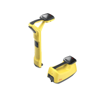
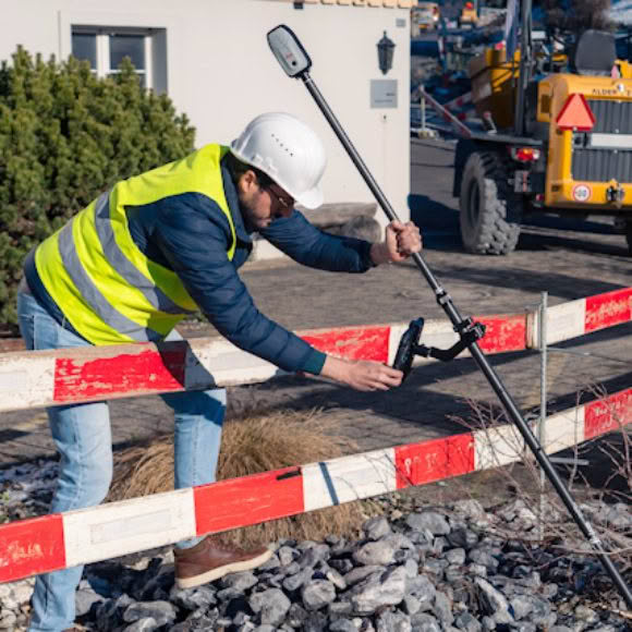
The light weight (20Kg) and ergonomic design ensure easy transportation and maneuverability by a single operator.
Key Features
- Extended Detection Range
Detect underground utilities up to 60% deeper than conventional GPR systems, improving visibility in congested subsurface conditions. - Equalised Scrambling Technology (EsT)
Proprietary signal processing enhances target resolution and contrast, enabling clearer identification of utilities at varying depths and soil types. - Quick Scan Mode
Streamline field operations with rapid data acquisition, reducing time on site and operational costs. - Compact, Single-User Design
Easy to lift at only 20Kg, and ergonomically designed for easy transport and deployment by a single operator—ideal for dense urban settings and confined spaces. - Integrated Software Solutions
- uMap Field Software: Real-time data collection, visualization, and georeferencing with intuitive interface.
- IQMaps Post-Processing: Advanced 3D data analysis, layer slicing, and export capabilities for CAD and GIS integration.
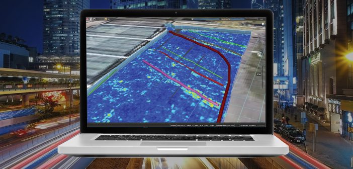
IQMaps is a new post-processing software application for advanced GPR data analysis, which provides a fast interfacing between the user and the GPR data. Machine time has been reduced and, contemporarily, real-time processing, advanced target management and 3D visualization have been introduced.
In addition to underground assets detection and mapping, other functionalities are available for 3D mapping of sinkholes, inspection chambers and archaeological sites.
IQMaps provides a step by step approach to guide the user in performing the best and the quickest data analysis with the help of a customisable processing and analysis tool, both for skilled and not skilled users for utility mapping, archaeological and environmental surveys and extensive mapping of large size projects.
Key Benefits:
Revolutionary interface
Allows an immersive reality during post-processing phase
Large areas acquisition
There is no limit in software use even for acquisition of large areas
User friendly
Ease of use and productivity have been dramatically increased (up to 30.000 sqm in a working day)
Georeferenced data
The new software has been developed with the precise aim to elaborate a georeferenced data after that it has been processed
Data easy to be managed
Intuitive interface with data ease to use and to be managed (scroll, pinch, spread)
Easy data extraction of various subsoil features
Anomaly detection (sinkholes, substations, buried objects)