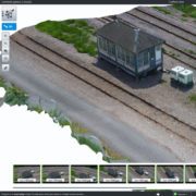
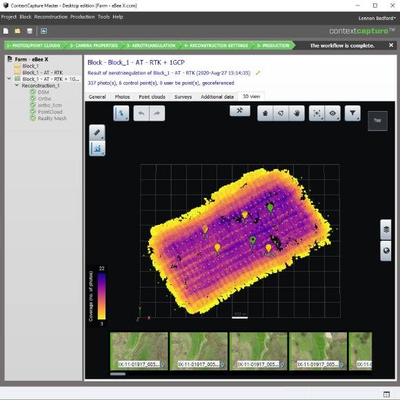
Develop precise reality meshes affordably with less investment of time and resources in specialized acquisition devices and associated training. You can easily produce 3D models using up to 300 gigapixels of photos taken with an ordinary camera/drone and/or 3 billion points from a laser scanner, resulting in fine details, sharp edges, and geometric accuracy. Dramatically reduce processing time with the ability to run two ContextCapture instances in parallel on a single project.
Thousands of users worldwide trust Bentley’s reality modelling solutions to provide real-world digital context to their mapping, design, construction, inspection, and asset management projects.
The Reality Modelling WorkSuite supports your reality capture workflows and accelerates the decision-making process.
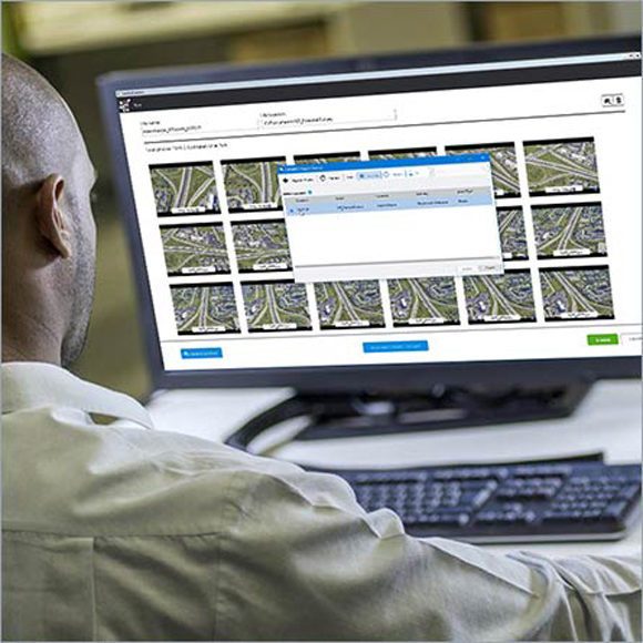
- CAPTURE with ContextCapture
Produce 3D models of existing conditions for infrastructure projects, derived from photographs and/or point clouds. These highly detailed, 3D reality meshes provide precise real-world context for design, construction, and operations decisions throughout the lifecycle of a project. - ANALYZE with ContextCapture Editor
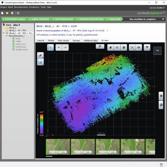
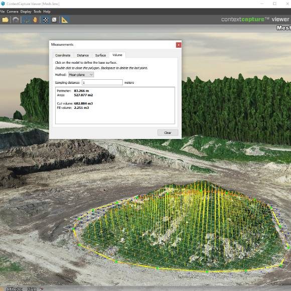
Extend the value of reality modeling data with ContextCapture Editor, a 3D CAD module for editing and analyzing reality data. ContextCapture Editor makes it easy to quickly manipulate meshes as well as generate cross-sections, extract ground and breaklines, and produce orthophotos, 3D PDFs, and iModels. Integrating meshes with GIS and engineering data enables intuitive search, navigation, visualization, and animation of information within the visual context of the mesh to quickly and efficiently support the design process. - SHARE with ProjectWise ContextShare
Better collaborate when you share visuals of the 3D reality mesh with your teams. ContextShare, a cloud-based service, extends Bentley’s ProjectWise connected data environment to securely manage, share, and stream reality meshes, and their input sources, across project teams and applications increasing team productivity and collaboration. It enables you to stream large amounts of reality modelling data without the need for high-end hardware or complex IT infrastructure.
Software for Infrastructure Professionals
Design, build, and operate more productively, collaborate more globally, and deliver infrastructure assets that perform more sustainably with discipline specific applications and services that enhance collaboration and information mobility across your project team. Each product focuses on specific capabilities required for engineers, architects, contractors, inspectors, governments, institutions, utilities, owner-operators, and a broad spectrum of infrastructure roles.
A common environment for comprehensive project delivery, enables your teams to productively share and integrate modelling and documentation workflows across disciplines for projects of any size and complexity.
Your project participants can precisely and easily access and manage rich data and geometry across the lifecycle regardless of format without disruption. Teams working on a projects have a similarly personalized experience with capabilities and learning provided in personal, project, and enterprise contexts.
You and your teams can make better decisions with immediate feedback and clear insight made possible through comprehensive visibility into design and project performance information.
Browse Bentley’s broad portfolio by product line, brand, or discipline to discover the capabilities to match your needs.
Products and Services:
- Asset Lifecycle Information Management
- Asset Reliability
- Bridge Analysis
- Building Design
- Civil Design
- Construction
- Electrical and Instrumentation
- Enterprise Interoperability
- Hydraulics and Hydrology
- Mine Design
- Modeling and Visualization
- Offshore Structural Analysis
- Operational Analytics
- Pipe Stress and Vessel Analysis
- Plant Design
- Project Delivery
- Reality Modeling
- Site Analysis
- Structural Analysis
- Structural Detailing
- Utilities and Communications Networks