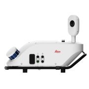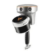
Mobile mapping has never been easier with Leica Pegasus TRK500/700 Neo. Intuitive and autonomous workflows make mobile mapping accessible to more professionals than ever before, opening more business and revenue opportunities across multiple
industries. The Pegasus TRK500/700 Neo system captures and creates accurate, high quality digital twins increasing efficiency from field to office.
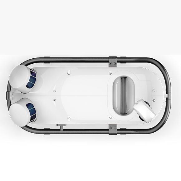
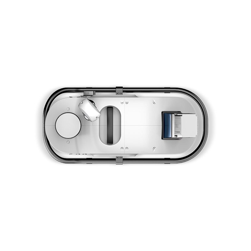
The system can be mounted on a vehicle or backpack and is capable of capturing data at speeds of up to 80 km/h, making it ideal for large-scale mapping projects such as city-wide surveys or highway inspections. The captured data is processed using Leica Geosystems’ proprietary software, which allows for easy integration with existing GIS and CAD software.
The Leica Pegasus TRK Neo is suitable for a wide range of applications, including road asset inventory, pavement analysis, urban planning, and emergency response planning. Its portability and flexibility make it an ideal solution for mapping projects that require quick and accurate data collection, analysis, and visualization.
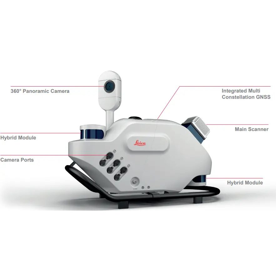
Pegasus TRK500 Neo – the data-efficient single scanner option, capturing 500,000 points per second
Pegasus TRK700 Neo – with dual scanners for when higher point cloud density is required, capturing 1 million points per second.
Doing it all. In all new ways.
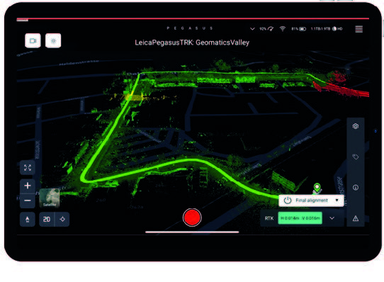
Guided project set-up automates the mission planning and data collection process to increase efficiency, improve data quality and reduce project costs. Plan in advance with preset features and profiles that simplify system initialisation to data delivery. Intelligent routing for the most efficient data collection. Sensors are triggered autonomously along the planned route, so no detail is missed. Live in-field viewing of data acquisition is highlighted on the base map.
Built-in privacy
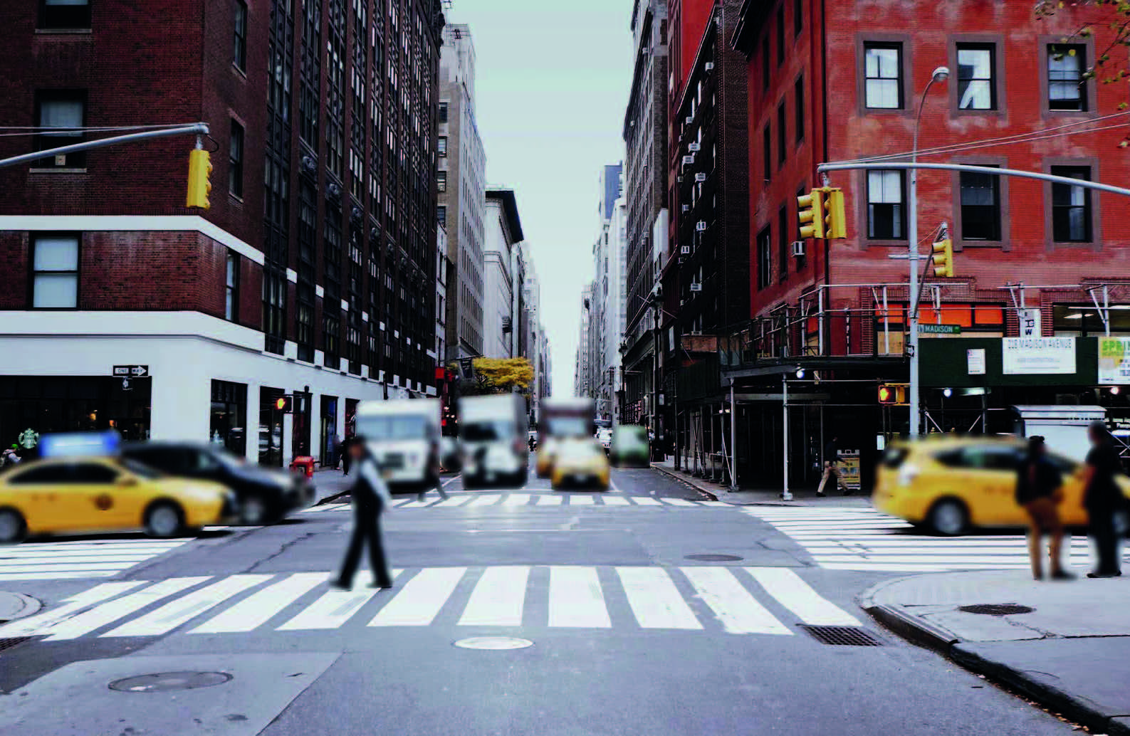
Say goodbye to manual object blurring. People and vehicles are anonymised in real-time, protecting citizen privacy and ensuring GPDR compliance. Integrated with a real-time AI algorithm, the Pegasus TRK solution actively identifies and blurs complete objects
directly in the imagery as the data is collected. All information is encrypted and won’t leave your Pegasus TRK system.
Pegasus TRK opens up a new world of application possibilities to a broader group of new
or experienced users, those new to mobile mapping, and users with advanced technical
expertise in industries such as surveying, transportation and utilities. Developed for
applications requiring long-range mobile mapping, Pegasus TRK500/700 Neo delivers
the highest levels of detail for digital twin creation.
Bring images and data to life.
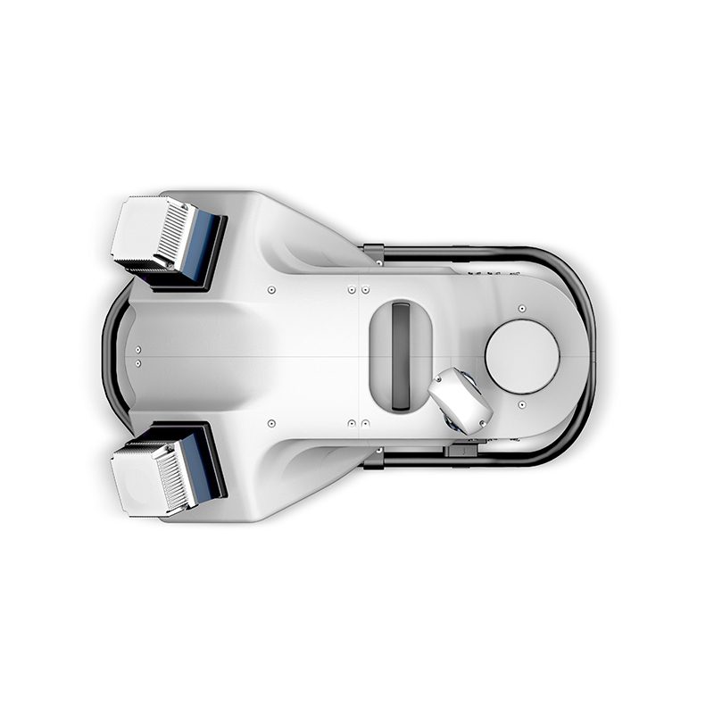
Best-in-class colour truth – brought to life as it is in reality. Pegasus TRK features a SmartFusion ‘butterfly’ camera system with up to 120MP integral view. Boosted with addon front, side and rear pavement cameras, TRK is expandable with a click. The additional cameras multiply the resolution, creating data-rich imagery. Enhanced calibration delivers true colour imagery according to the CIEDE2000 colour-difference formula.
A delta was never so small.
The sophisticated integration of IMU and SLAM technology in Pegasus TRK’s sensor architecture enables georeferencing in challenging GNSS denied environments. Precision RTK positioning gives location accuracy down to the centimetre, in real-time. Trajectory is improved when optical DMI accessories are installed on the back of the vehicle to measure the travel distance in GNSS challenging conditions accurately, avoiding traditional slip error of wheel-based DMI.
Expand and go. More detail. More possibilities.
Fully integrated modular imaging system allows you to add more cameras for more angles, more detail and more possibilities. Automatic camera calibration simplifies and streamlines the system set up to expand and go. Collecting at up to eight frames per second, no details are missed.
Plan. Capture. Deliver.
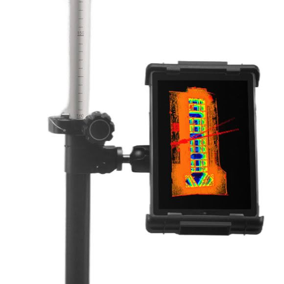
Plan and execute projects with confidence. Spontaneous visual and audio feedback along the route makes data collection failure a thing of the past. Leica Pegasus FIELD predicts the time required for planned missions and storage and battery capacity needed to perform the job. Throughout the journey, image previews, accuracy estimations, and live system feedback instil absolute confidence in the data acquisition process.
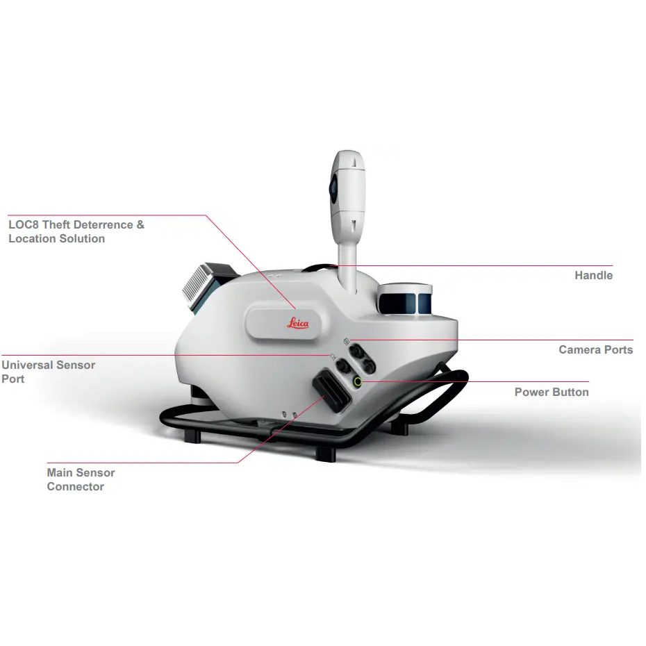
Theft Deterrence
Built-in LOC8 solution for remote tracking, localisation and locking by mobile phone or computer.
Remote Technician
Remote in-field support access over LTE.
Designed To Last
IP67 during operation, fully dust-tight and withstands temporary immersion under water
Withstands 4G shocks, ISO9022, MIL-STD-810H
Millimetric
Post processing [X,Y], [Z]: 11mm, 11mm
RTK [X,Y], [Z]: 12mm, 12mm