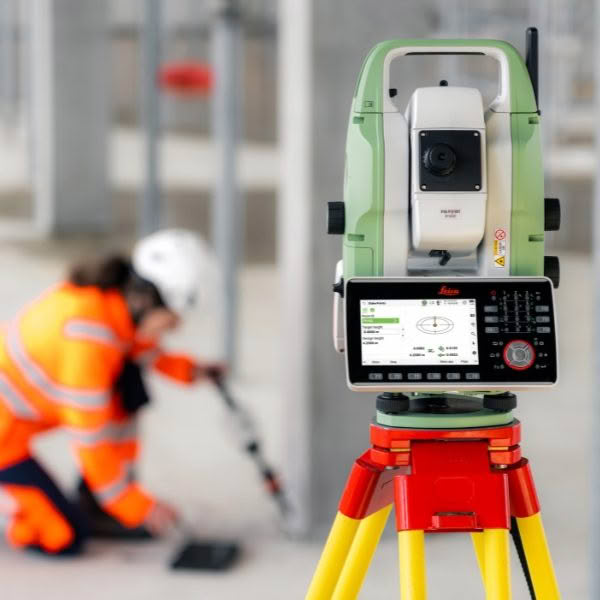
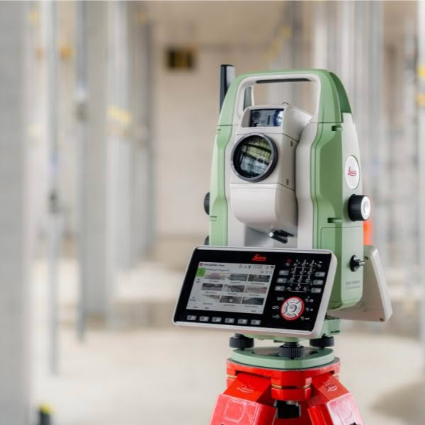
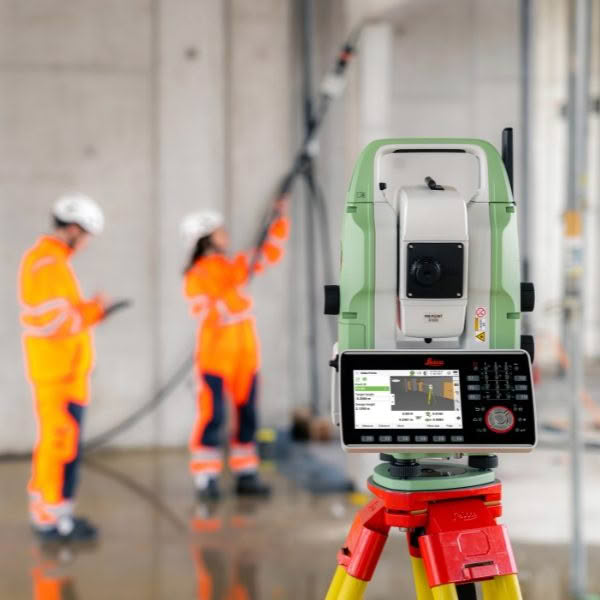
Be Ready for every Survey with the Leica TS20 Robotic Total Station
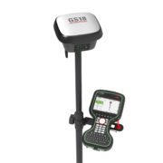
Meet the Leica TS20 — the next-generation robotic total station built to be ready for any project. With AI-driven automation, rugged reliability, and unmatched workflow integration, it’s designed to raise the bar for productivity in the field. It’s not just built for today — it’s built for what’s next.
Setting the Standard for Productivity
- AI-powered automation helps you move faster and with fewer mistakes, even on complex sites or challenging jobs.
- The TS20 minimises mistakes before they happen, giving you the control and confidence to measure and stake out accurately, every time, every day.
- Its proven robustness keeps your workflow moving, even when weather and conditions push back.
The Future of Robotic Total Stations
- The TS20 features upgrades in hardware, software, and connectivity for a faster, quieter and more reliable experience in the field.
- From wireless communication and field to office software, to theft deterrence and data sync, it’s fully connected, secured and always in control.
- Designed for today, ready for tomorrow. The Leica TS20 delivers next-level performance with every point you measure.
The Leica TS20 is the first Robotic Total Station to feature a built-in Neural Processing Unit (NPU) — a specialised chip that accelerates AI tasks by mimicking how the human brain processes information. This allows the TS20 to handle complex computations directly on the device, enabling faster data processing, real-time decision-making and enhanced data security, all with exceptional energy efficiency. The result is smarter workflows and greater productivity in the field.
AI-detect – Smarter Target Identification
With AI-detect, the TS20 automatically identifies the target type you’re measuring. Trained on the full range of Leica Geosystems’ prisms, it compares the detected target with the one selected in Captivate, alerting you if there’s a mismatch. This intelligent feature helps eliminate errors and ensures consistent accuracy throughout your workflow.
AI-powered ATR – Precision in any Condition
The TS20’s AI-powered Automatic Target Recognition (ATR) system delivers reliable aiming and locking, even in tough conditions like mist, dust or partially obscured prisms. It analyses the laser spot on the CMOS sensor to confirm valid targets, using AI trained on a wide variety of environments.
This means better measurement performance, automatic aiming onto reflective tapes up to 100m and extended range for mini prisms — all with minimal manual input.
High-Speed EDM – Powered by WFD Technology
The TS20’s advanced Electronic Distance Measurement (EDM) system, built on WFD technology, delivers over 30% faster performance. With 1mm + 1ppm accuracy on prisms and extended reflectorless ranges (R800 and R1600), it ensures precise results across a wide range of applications.
Featuring PinPoint EDM, the TS20 uses a small red laser dot for exact aiming — what you see is what you measure. It also supports up to 20 measurements per second with no calibration interruptions, making it ideal for fast-paced tasks like machine guidance and AP20 initialisation.
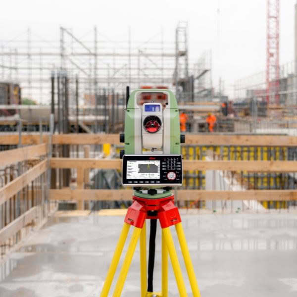
Built for Performance
Combining AI-driven automation, precision optics and high-speed measurement, the TS20 is designed to perform reliably in any environment. Whether you’re working on construction sites, infrastructure projects or machine-guided operations, the TS20 helps you work faster, smarter and more accurately.
AI-follow – Fast Re-locking with AP20
Line-of-sight interruptions between the total station and prism are common — whether from obstructions or simply setting down the pole. AI-follow, working in tandem with the AP20, enables lightning-fast re-locking to your prism after the line of sight is lost. Trained on a wide range of real-world scenarios, AI-follow keeps you measuring with less waiting and more efficiency.
GeoCloud Protect – Theft Deterrence for Leica Total Stations
GeoCloud Protect is a powerful anti-theft service designed specifically for Leica Total Stations. It enables remote locking and tracking of instruments, rendering them unusable if stolen and significantly increasing the chances of recovery. By eliminating the resale value of stolen equipment on the black market, GeoCloud Protect helps reduce theft incidents and ensures surveyors can work without costly disruptions or inflated insurance premiums.
This service is the first available on Leica’s new GeoCloud Fleet platform — a centralised management system for connected instruments. Accessible via both a mobile app and web portal, GeoCloud Protect gives users full control over their equipment security from anywhere.
GeoCloud Drive – Secure Cloud Storage for Surveying and Construction
GeoCloud Drive is a secure cloud-based storage and data exchange service designed for surveying and construction professionals. It seamlessly connects field teams with the office making it easy to save, share and collaborate on geospatial data in real time.
With GeoCloud Drive your data is always up-to-date reducing rework and improving project accuracy. Whether you’re managing complex datasets or coordinating across teams, its intuitive tools help keep projects on track and ensure peace of mind.
Share. Collaborate. Be sure. GeoCloud Drive gives you the confidence to work smarter, faster, and more securely.