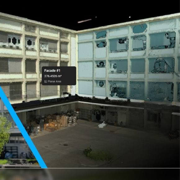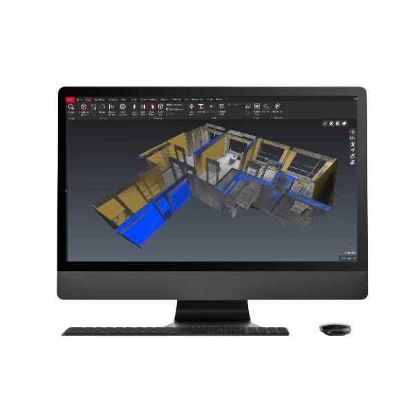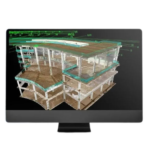

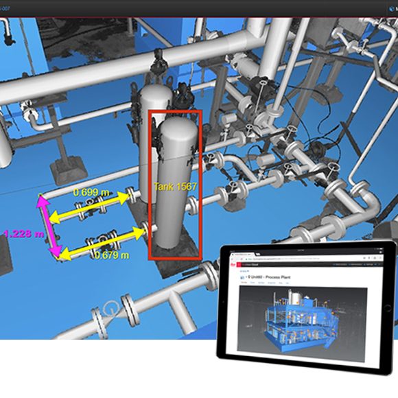
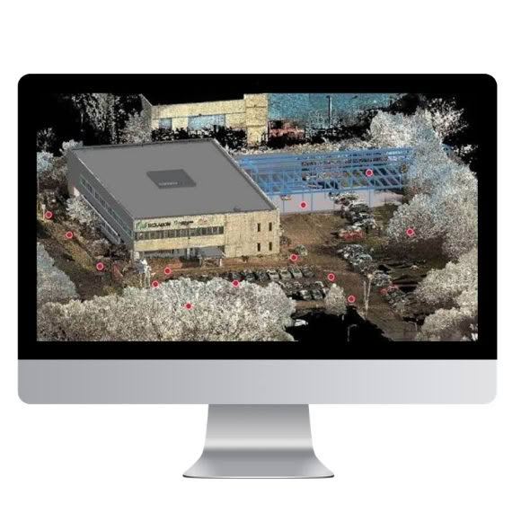
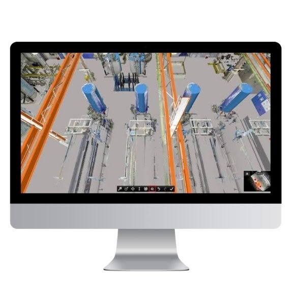
Easily and intuitively share point cloud data, 3D design models, mark-ups, imagery, and other critical project information with Leica TruView Desktop. Designed to connect teams across the entire project lifecycle, TruView Desktop enables stakeholders to access, view, analyse, and collaborate within a rich digital reality environment, ensuring everyone is working from the same accurate and up-to-date data.
With secure access from anywhere, at any time, project teams can explore dimensionally accurate, photorealistic representations of real-world environments to improve decision-making, streamline workflows, and enhance collaboration across disciplines.
Available as a powerful desktop viewer with synchronised capabilities, TruView Desktop provides comprehensive support for all project data types, including point clouds, panoramic imagery, 3D models, mark-ups, and attached project assets. Users benefit from an extensive suite of analysis and visualisation tools, including the ability to load new models into TruView projects and experience them in immersive VR environments.
The platform supports a wide range of compatible data sources, including LGSx files, Cyclone ENTERPRISE, and legacy formats, ensuring seamless integration with existing workflows and project archives. To accommodate different deployment requirements, Leica TruView Desktop is available in both installed and no-install versions, providing flexibility for organisations of all sizes.
FEATURES & BENEFITS
- Access GeoTags, Assets and project data upstream from Cyclone FIELD 360, BLK3D, and Cyclone REGISTER 360 PLUS for universal access to your complete, reality capture project
- Load IFC, OBJ, and COE models via the desktop viewer and save them to both Cyclone ENTERPRISE and LGSx projects to complement point cloud data from Cyclone
- Full GeoTag, Markup and Snapshot capabilities with presentation mode to collaborate and communicate important project details with other users
- Facilitates virtual site visits, resign reviews, retrofit and new install planning remotely with great accuracy.
- User access can be controlled and managed through Cyclone ENTERPRISE’s robust admin portal
TruView makes it easy for anyone to view and share reality capture data. Whether it’s data from mobile mapping systems or terrestrial laser scanning solutions, you can see it all on one platform with TruView. The latest release includes upgrades focused on richer measurement options, from pipe snapping and model alignment tools to GeoTag features.