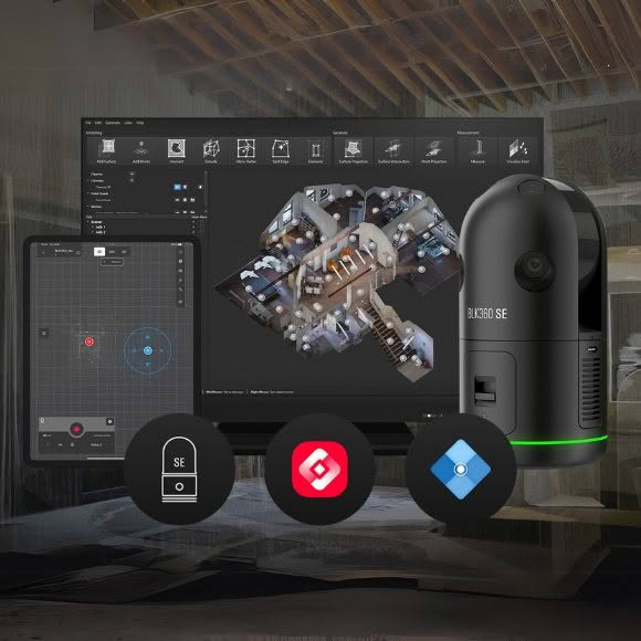
Simplify Your Workflow with the BLK360 SE Essentials Package
Unlock the full potential of 3D laser scanning with a powerful bundle of three Leica Geosystems tools. This streamlined solution enables fast, accurate 2D and 3D modeling, making reality capture more accessible than ever.
Designed for construction, architecture, design, and engineering professionals, the BLK360 SE Essentials package delivers a complete, easy-to-use scan-to-BIM workflow. Ideal for small to mid-sized projects, it empowers teams with high-precision data capture and seamless integration into existing CAD and BIM environments.
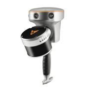
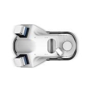
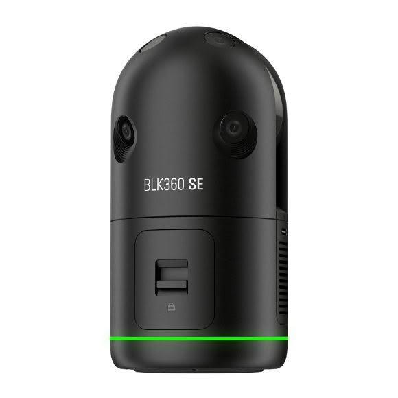
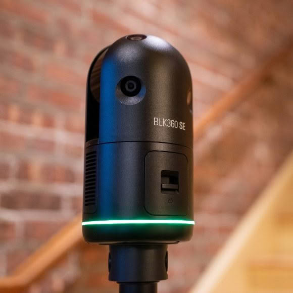
Essential Scanner – The Leica BLK360 SE
The Leica BLK360 SE is a lightweight, compact imaging laser scanner that efficiently captures point cloud data and spherical imagery of any environment. This edition of the BLK360 maintains the signature one-button operation, user-friendly functionality and software integration.
Key Features
- Full dome scan with rich HDR imagery in less than a minute
- 45m range with 4mm accuracy at 10m
- Three scan resolutions capture data in 28, 53, or 170 seconds with detailed point clouds.
- Small and light, measuring 155x80mm and weighing just 850g with batteries
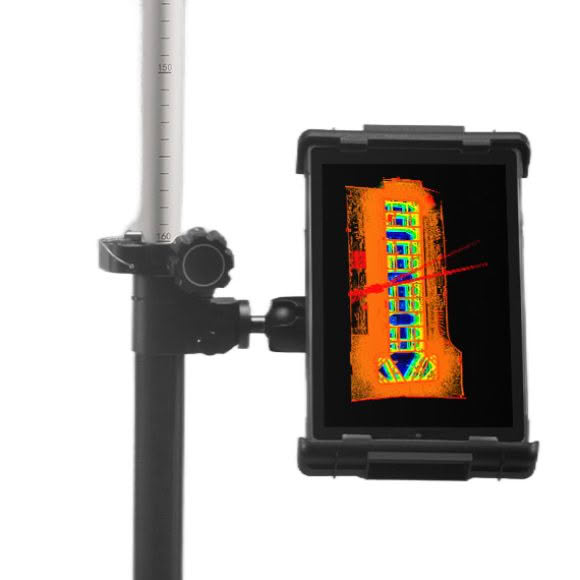
Essential App — Leica Cyclone FIELD 360
The Cyclone FIELD 360 (BLK Edition) app enhances fieldwork with an intuitive interface that bridges field and office workflows. Compatible with iOS and Android, it pairs with the BLK360 SE for remote control, scanner setup, and in-field scan pre-registration—speeding up final registration in PinPoint. The app also offers real-time previews, on-site feedback, and quality assurance.
Essential Software – Leica PinPoint
Essential Software – PinPoint software further simplifies point cloud processing with an intuitive interface and efficient 3D modelling workflows. Seamlessly compatible with leading 2D and 3D CAD and BIM applications, it allows for easy integration of scan data. Its powerful tools enable users to create surfaces, insert architectural elements, and generate floor plans with measurement reports effortlessly.