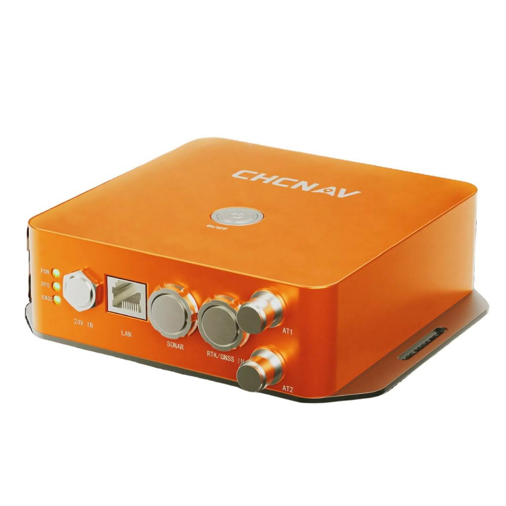
The CHCNAV HQ-400 multibeam echosounder is a powerful, highly integrated and compact system designed to provide exceptional performance for bathymetric and hydrographic surveys.
The echosounder integrates sonar, temperature sensors, attitude sensors, positioning and a compass, all in a lightweight and portable form factor.
With support for the Surface Velocity Meter, it meets the diverse needs of various applications, including river and lake topography, reservoir volume measurements, and hydrometrics.
Lightweight and compact
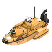
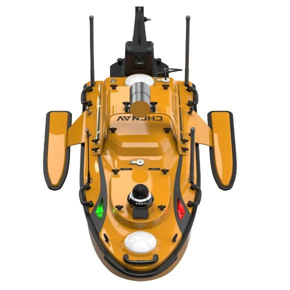
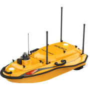
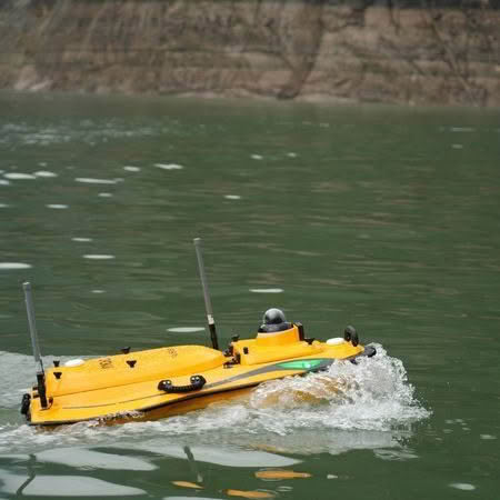
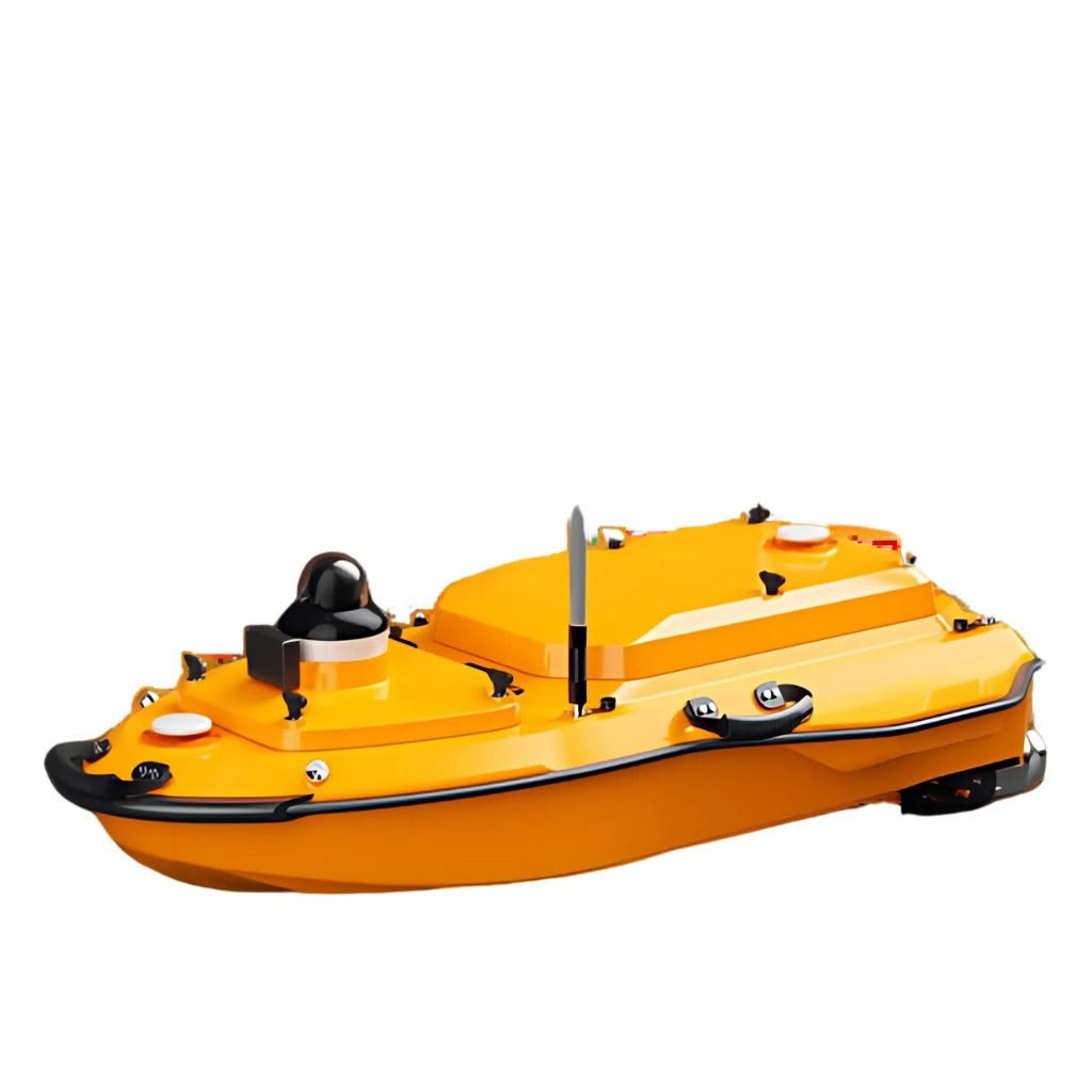
The HQ-400 is housed in a 12.5 cm cubic shape, making it easy to mount on small unmanned vehicle platforms (USVs) and manned survey boats. Its lightweight design makes it easy to transport and use in the field. Despite its compact size, it delivers powerful performance and high-resolution data for detailed underwater mapping and analysis.
Calibration-free operation
Equipped with an integrated IMU, the HQ-400 comes pre-calibrated for roll, pitch and yaw, eliminating the need for field calibration and greatly improving operational efficiency. It reduces setup time and allows surveyors to focus on data collection, ensuring timely project completion.
High stability and low power consumption
By using a high performance System on Chip (SoC) processor instead of the traditional DSP+FPGA, the HQ-400 reduces signal transmission complexity and control timing, achieving miniaturization and low power consumption without compromising performance. The HQ-400 is a reliable and power-efficient system ideal for extended survey missions.
Dimensions and installation
Flexible Installation Options – The HQ-400 can be easily installed on both manned boats (small survey boats) and unmanned surface vessels (USVs), making it suitable for a wide range of survey platforms.
Versatile functionality
The HQ-400 supports a range of functions, including tilt measurement, real-time roll stabilization, side-scan imaging, near-field focusing and water column imaging. The comprehensive data acquisition capabilities make the HQ-400 a versatile tool for a variety of underwater survey applications. Real-time roll stabilization ensures consistent data quality even in rough water conditions, improving the accuracy of survey results.
Software ecosystem
CMS for PC is a comprehensive multibeam data acquisition and post-processing software that provides a one-stop solution for efficient survey operations. It features optimal surface intelligent filtering to quickly remove noise points and produce high quality result maps.
EasySail for Android provides data display switching for multibeam point clouds, sonar maps, satellite maps, video and other data types for flexibility and ease of use in the field. This mobile application allows surveyors to monitor data in real time and make adjustments on the fly.
Third-Party Software Compatibility: HQ-400 supports integration with third-party acquisition and post-processing software such as BeamworX and Hypack, providing users with versatile options for data processing and analysis.
River and Lake Topography – Capture detailed underwater topography point cloud data of inland rivers, lakes, and reservoirs, facilitating accurate mapping and analysis.
River Cross-Section – Provide precise river cross-section topography data for hydrological studies and environmental monitoring.
Reservoir Volume – Combine underwater topography data with drone LiDAR data to calculate reservoir volumes at different water levels, aiding in water resource management
Hydrometrics – Assist in the measurement of navigation channels, providing essential data for dredging workload assessment and post-dredging project acceptance.