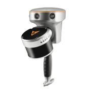
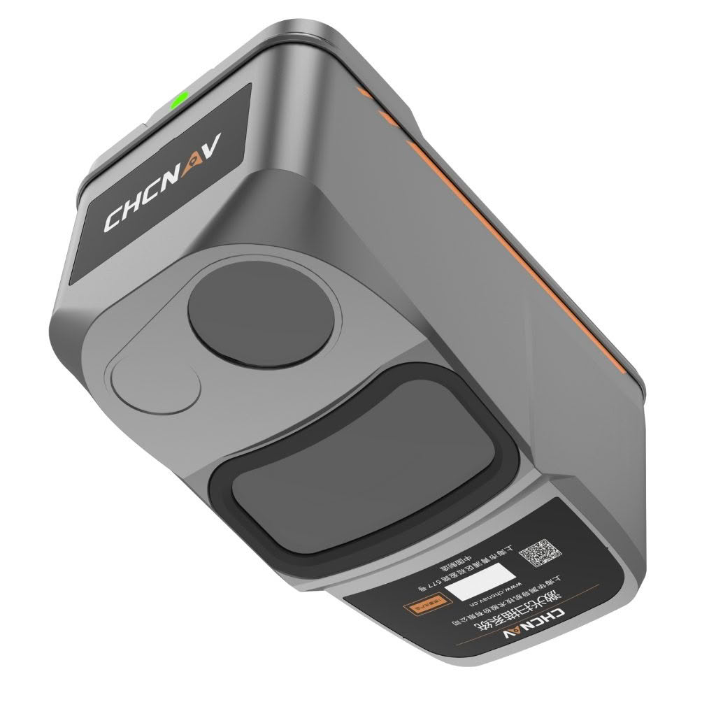
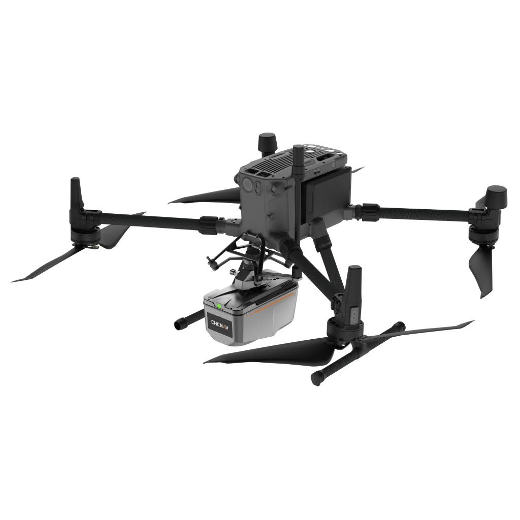
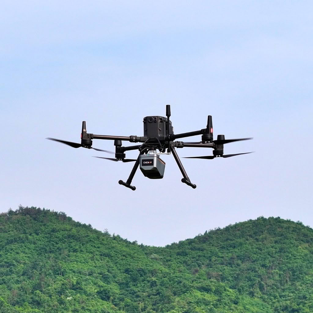
The AA9 features a lightweight, compact design and effortless compatibility with a wide range of UAV platforms. The AlphaAir 9 can detect up to 6 target echoes utilizing advanced multi-target capabilities, greatly enhancing its ability to penetrate dense vegetation and acquire precise ground surfaces.
The AlphaAir 9 Airborne LiDAR + RGB system represents an exciting milestone in aerial surveying technology. Its precision, advanced scanning capabilities, highly efficient data acquisition, and user-friendly design underscore CHCNAV’s commitment to providing innovative 3D reality capture solutions that empower geospatial professionals, Combined with CHCNAV’s point cloud and image fusion modeling software, the AA9 provides an efficient and cost-effective approach to airborne 3D data collection and processing.
Precision and advanced scanning capabilities
The AA9 incorporates a high-precision navigation algorithm that works in conjunction with the CHCNAV LiDAR to deliver 5 mm repeatability and exceptional absolute precision in the 2 to 5 cm range, even in complex environments. Capable of long-range measurements up to 600m, rapid scanning at 500,000 points per second, and a continuously rotating mirror that enables scanning speeds of 250 scans per second, the AA9 enhances the detail of aerial mapping operations.
High-Efficiency data collection
By integrating LiDAR and a 26MP orthographic internal camera, the AA9 supports the simultaneous acquisition of point cloud data and a large number of high-resolution images covering a significant area in a single flight. This fusion significantly improves mapping and surveying efficiency compared to traditional fusion solutions that require multiple flights over an area using LiDAR and cameras separately.
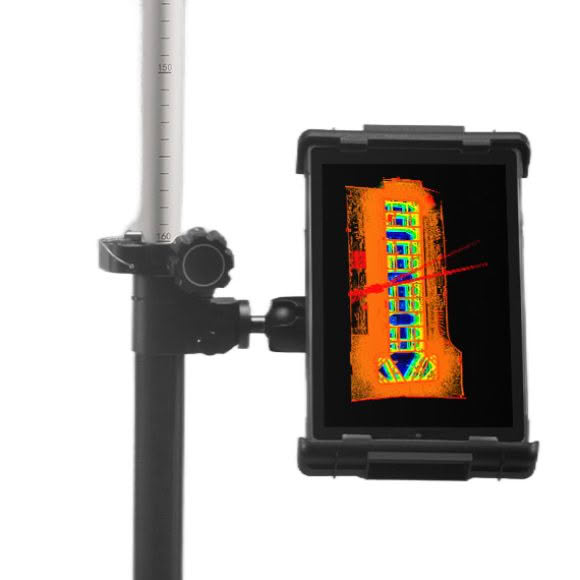
Real-time Data View
The AA9 supports automated reality capture and real-time data visualization accessible directly from the UAV controller, enabling informed decision-making throughout the operation.
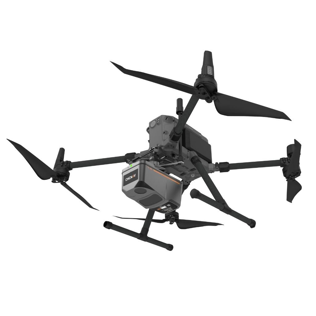
Quick installation on any UAV
Impressively lightweight (just 1.5kg), the AlphaAir 9 is ready for direct connection to a DJI M300/350 via its Skyport adapter and provides a 30-minute operating time.
Powerful post-processing software
CHC Nav’s CoPre software is an advanced, user-friendly 3D laser scanning pre-processing software that can process captured raw data, including POS trajectories, LiDAR data, and RGB images through to colourised .LAS/.LAZ files and precisely georeferenced images.
Geoid files are available for all of NZ’s local height datums. With its intuitive interface and efficient workflow, the software significantly improves the productivity of 3D mapping projects.