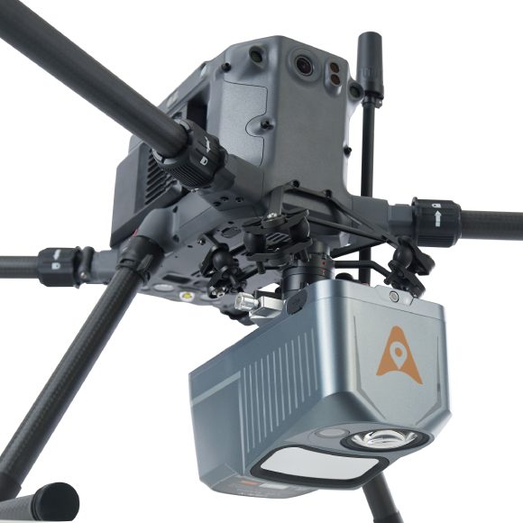

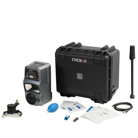
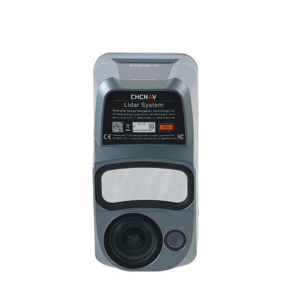
The AA10 features a lightweight, compact design and effortless compatibility with a wide range of UAV platforms. The AlphaAir 10 can detect up to 8 target echoes utilizing advanced multi-target capabilities, greatly enhancing its ability to penetrate dense vegetation and acquire precise ground surfaces.
The AlphaAir 10 Airborne LiDAR + RGB system represents an exciting milestone in aerial surveying technology. Its precision, advanced scanning capabilities, highly efficient data acquisition, and user-friendly design underscore CHCNAV’s commitment to providing innovative 3D reality capture solutions that empower geospatial professionals, Combined with CHCNAV’s point cloud and image fusion modeling software, the AA10 provides an efficient and cost-effective approach to airborne 3D data collection and processing.
PRECISION AND ADVANCED SCANNING CAPABILITIES
The AA10 incorporates a high-precision navigation algorithm that works in conjunction with the CHCNAV LiDAR to deliver 5 mm repeatability and exceptional absolute precision in the 2 to 5 cm range, even in complex environments. Capable of long-range measurements up to 800 m, rapid scanning at 500,000 points per second, and a continuously rotating mirror that enables scanning speeds of 250 scans per second, the AA10 enhances the detail of aerial mapping operations.
HIGH-EFFICIENCY DATA COLLECTION
By integrating LiDAR and a 45MP full-frame orthographic internal camera, the AA10 supports the simultaneous acquisition of point cloud data and a large number of high-resolution images covering a significant area in a single flight. This fusion significantly improves mapping and surveying efficiency compared to traditional fusion solutions that require multiple flights over an area using LiDAR and cameras separately.