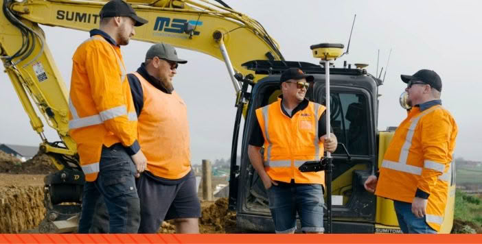
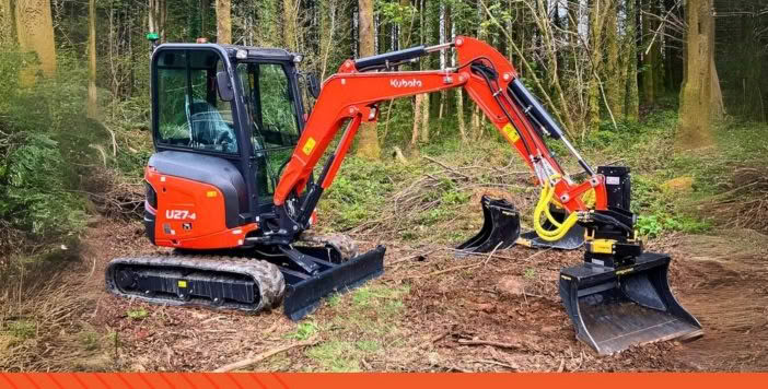
Excavator


construction site layouts
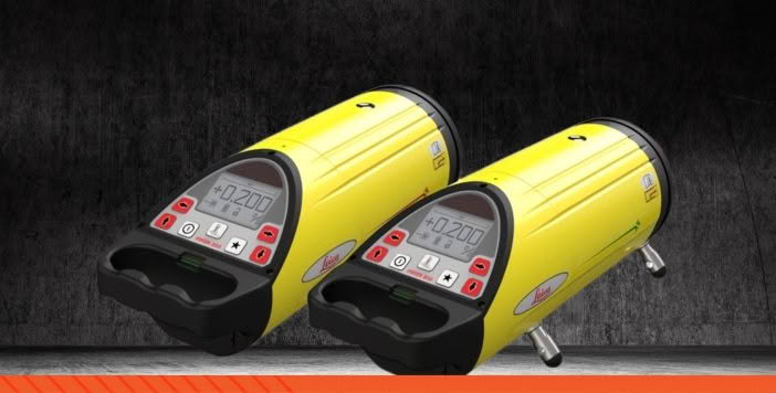

It's about Pole Position!


the rules of the game.
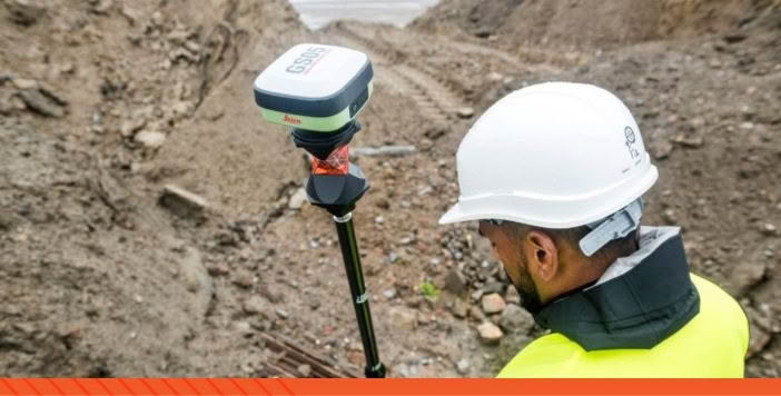


RTK Network
GNSS Reference Station Network


TILTROTATORS


The new Leica iCON Trades solution has been developed to simplify digital 3D measurement and layout tasks whilst delivering the highest accuracy.
The easy to learn software is separated into three modules for industry specific applications.
Equipped with visual measurement technology, automated workflows and intuitive, industry-specific software, these solutions empower the user to work to a higher standard with unmatched efficiency!
Carl Saywell and his business partner started MS Civil seven years ago, since then they’ve grown from two people to over 50! We go onsite with their team to discuss how their adoption of Leica iCON technology has impacted the business.
“The main reason we see it as an advantage is purely because it gives trust to the guys on where they’re going and what they’re doing.”
This plug and play tiltrotator provides tilt and rotation functions only, available for compact excavators:
This enables contractors with smaller machines to benefit from all the versatility that a tiltrotator brings.
Small enough to fit in the palm of your hand and barely noticeable on top of your pole, the new Leica GS05 packs a lot of technology into just 0.75 Kg.
With tilt compensation, a long-life internal battery, IP-rated durability and a choice of LTE eSIM or UHF radio communications, you’ll be amazed at what this little powerhouse is capable of.
Digital construction has become the standard for the building construction industry as we aim to work better, faster and smarter.
Reduce layout and labour costs with autonomous print technology. HP SitePrint prints CAD files (including text) directly on to the concrete slab. It enables faster and highly precise construction layout in a fraction of the time of traditional methods.
Mark and Kirsty provided a comprehensive overview of the entire field to output workflow, detailing each step involved in capturing and processing CHCNAV Apache3Pro Sonar data and RS10 scan data. They demonstrated how the data was combined and processed using Leica Cyclone 3DR
These outputs not only highlighted underwater features but also provided surrounding information, offering a complete picture of the surveyed area. This particular example was drawn from the Whanganui River, showcasing the practical application and effectiveness of these technologies in real-world scenarios.
We’re excited to bring you the latest in UAV LiDAR technology: the CHC AlphaAir 9
For our latest article, we went onsite with C&R Surveying to see how they are utilising the Leica AP20 AutoPole on a construction project in Orewa, North Auckland.
“Keeping up to date with the latest innovations provides us with the tools to work more productively and deliver better outcomes for our clients. The C&R team really enjoy how the AP20 solves problems for us in the field, we can reach areas that we couldn’t before and it integrates perfectly into our existing workflows.” Rick Bull, Director – C&R Surveying
Leica Geosystems is committed to the continual development of technology solutions to ensure that our customers are provided with the best possible efficiencies in the field and return on their investment.
For this reason, we are pleased to bring you the latest software updates:
Rely on Leica technology when you need to overcome challenges and know measurements are correct.
Leica Machine Control systems lead the industry with solutions designed to improve project productivity and efficiency.
Rugged lasers, levels and locators deliver on Leica’s reputation for accuracy, reliability and ease of use.