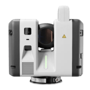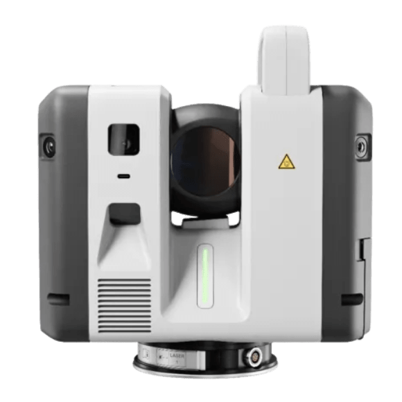
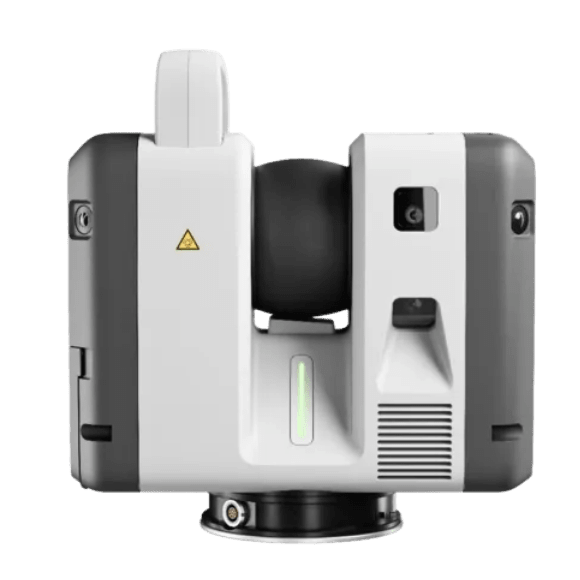
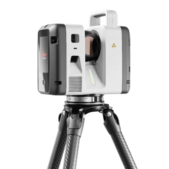
The Leica RTC700 is an exceptional laser scanning solution engineered for professionals in surveying, construction, engineering and geospatial industries. Designed for maximum performance, this advanced system delivers exceptional speed, accuracy and reliability enabling the capture of highly detailed 3D point cloud data for even the most demanding projects.
The Leica RTC700 is recognised for its ultra-fast scanning capabilities and superior precision, making it ideal for large-scale and complex environments where efficiency is critical. Its intelligent, user-focused design allows for fast setup and straightforward operation, helping both experienced surveyors and new users achieve accurate results with minimal effort. With enhanced automation and optimised workflows, the RTC700 supports rapid on-site data collection reducing time in the field and increasing overall productivity.
Built to perform in challenging conditions, the Leica RTC700 ensures consistent, high-quality data capture while streamlining project delivery. It is the ideal solution for professionals seeking a powerful, reliable, and efficient 3D laser scanning system that can keep pace with modern project demands.
- Flagship model in the RTC Series, delivering the highest performance and productivity.
- Capture up to 2 million points per second with ultra-fast workflows.
- Extended range up to 270 metres for maximum flexibility across any environment.
- HDR imaging in as little as 30 seconds.
- VIS technology enables automated scan alignment and improved field productivity.
- Livelink connectivity supports real-time collaboration and project visibility.
- Automatic self-calibration ensures consistent accuracy and reliable performance on every project.
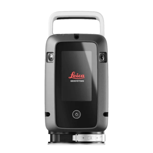
- 1x Leica RTC700 Laser Scanner
- 1x Leica GVP780 Transport Container for RTC
- 4x Leica GEB461 Internal Li-Ion Batteries (10.8V / 6.7Ah)
- 1x Leica GKL341 Charger Prof 5000
- 1x Leica RTC Rain Cover
- 1x Leica RTC300/500/700 Quick Guide
- 1x Hexagon GeoCloud 500GB (6-Month Trial)
- 1x 1-Year RTC Laser Scanner Basic CCP
- 1x 2-Year RTC Warranty
RTC700 Flagship Performance
One trusted design, three levels of performance – with the Leica RTC700 delivering the highest level of capability within the RTC Series. Combining maximum range, exceptional accuracy, and ultra-fast data capture, it is designed for the most demanding reality capture workflows. Integrated with Leica Cyclone FIELD 360, Hexagon GeoCloud, and Cyclone REGISTER 360 PLUS, it enables a fully connected field-to-office workflow, empowering teams to Capture. Connect. Collaborate while reducing rework, minimising downtime, and delivering results with complete confidence.
Ultra-Fast Capture
Built for speed, the RTC700 captures up to 2 million points per second and HDR imaging in 30 seconds. High-speed data acquisition combined with rapid imaging performance allows users to capture detailed, colourised point clouds quickly and efficiently, significantly reducing time on site.
Next-Level Accuracy
The RTC700 delivers outstanding accuracy with angular accuracy of 10” and highly reliable point precision. The next-generation IMU-based tilt compensator provides accuracy down to 3”, ensuring dependable results even in challenging setups. Combined with automatic self-calibration, this ensures consistent, high-quality data you can trust on every project.
Capture. Connect. Collaborate.
With Livelink, the RTC700 redefines how laser scanning projects are delivered by connecting field and office in real time. As data is captured, it is automatically synchronised to the cloud, allowing teams to monitor progress, verify coverage, and start processing before leaving site. Multiple operators and multiple scanners can collaborate within the same project, working from a shared, up-to-date dataset that reduces the risk of missed data. The result is a faster, more connected workflow that shortens project timelines, improves quality, and ensures confident decision-making at every stage.
Maximum Productivity
Designed for maximum productivity, the RTC700 combines speed, accuracy, and intelligent workflows into a single solution. Automated registration, seamless data handling, and real-time collaboration reduce manual effort and streamline the entire field-to-office workflow, delivering faster project outcomes.
Advanced Survey Workflows
The RTC700 supports advanced surveying workflows directly in the field through Leica Cyclone FIELD 360. Users can perform resection, traverse workflows, setup over known points, and measure targets directly from full-dome scans. Integrated VIS technology enables real-time scan registration, streamlining field processes while ensuring complete and accurate data capture before leaving site.
| Category | Feature | RTC300 | RTC500 | RTC700 |
|---|---|---|---|---|
| Distance Measurement | Max range | 85 m | 130 m | 270 m |
| Max scan rate | 1 mio pts/sec | 2 mio pts/sec | 2 mio pts/sec | |
| Resolution | 3 / 6 / 12 / 25 mm @ 10 m | 3 / 6 / 12 / 25 mm @ 10 m | 0.8 / 1.6 / 3 / 6 / 12 / 25 mm @ 10 m | |
| Laser class | 1 | 1 | 1 | |
| Laser wavelength | 1550 nm | 1550 nm | 1550 nm | |
| Tilt sensor | Tilt compensator (3 arcsec) | Tilt compensator (3 arcsec) | Tilt compensator (3 arcsec) | |
| 3D accuracy | 1.5 mm @ 10 m / 3.8 mm @ 50 m | Same | Same | |
| Imaging System | Camera | 12 MP, 6-camera (~432 MP setup) | Same | Same |
| HDR | 5 brackets | 5 brackets | 5 brackets | |
| Image time | ~30 sec | ~30 sec | ~30 sec | |
| Environmental | Operating temp | -20°C to +50°C | Same | Same |
| IP rating | IP55 | IP55 | IP55 | |
| Portability | Weight | 5.6 kg | 5.6 kg | 5.6 kg |
| Size | 121 × 240 × 254 mm | Same | Same |