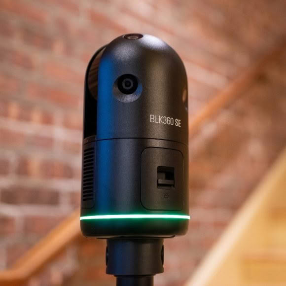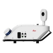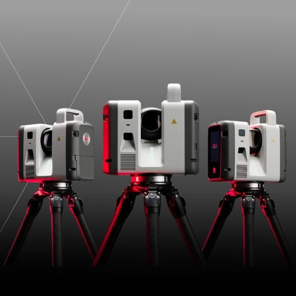
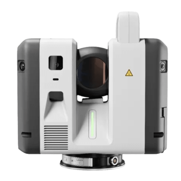
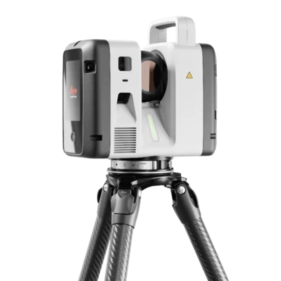
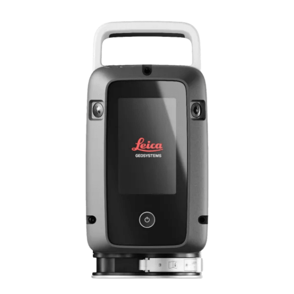
Leica RTC Series – One trusted design. Three levels of performance
The Leica RTC series combines industry-leading 3D laser scanning performance with connected software to help teams work faster, collaborate more easily and deliver with confidence.
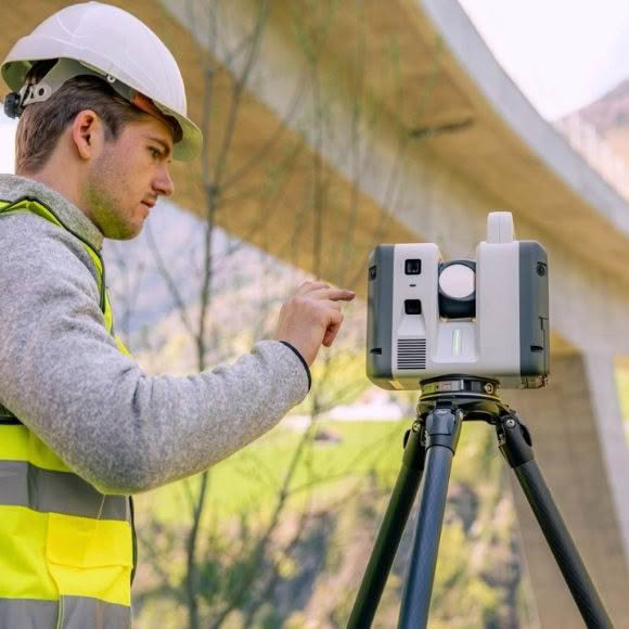
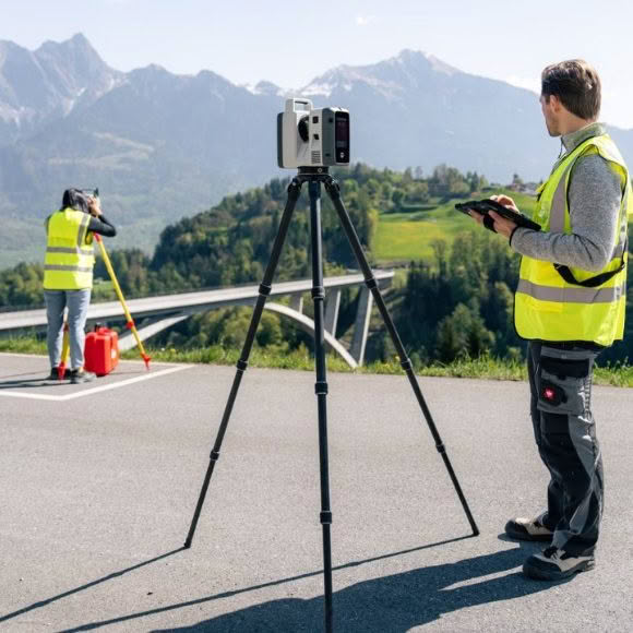
From surveying and construction to public safety, industrial environments, and infrastructure, the RTC series transforms disconnected scanning tasks into one streamlined reality capture workflow.
Leica RTC300 – 1 million points per second | Up to 85 m range
The RTC300 delivers trusted Leica performance in a streamlined, easy-to-use system.
It’s ideal for professionals in:
- Building construction
- BIM workflows
- General surveying
Designed to support growing project demands the RTC300 provides reliable results, fast data capture, and the flexibility needed for day-to-day reality capture work.
Leica RTC500 – 2 million points per second | Up to 130 m range
The RTC500 offers a strong balance of speed, range, and flexibility, making it well suited for teams working across:
- Surveying
- Infrastructure
- Public safety
Built for versatile environments it maintains high performance while adapting to changing conditions.
Leica RTC700 – 2 million points per second | Up to 270 m range
The RTC700 is the highest-performing model in the RTC range, designed for the most demanding projects.
It’s ideally suited to:
- Large-scale infrastructure
- Industrial facilities
- Complex surveying environments
With long-range capability, high accuracy, and ultra-fast capture, it handles challenging conditions with ease. The RTC700 enables organisations to move from capture to final deliverable faster without compromising on precision or reliability.
With fast data capture, proven accuracy, and seamless integration with Leica Cyclone FIELD 360, Hexagon GeoCloud, and Cyclone REGISTER 360 PLUS, the RTC300 helps simplify workflows from field to office. The result is fewer site revisits, quicker processing, and faster project delivery.
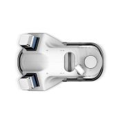
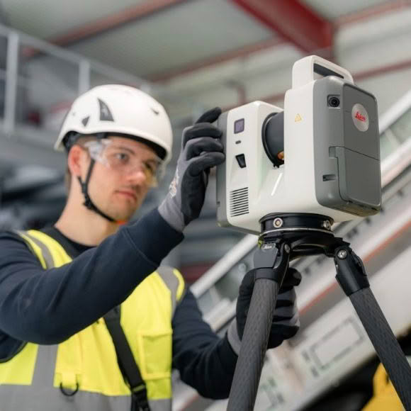
Higher performance scanning
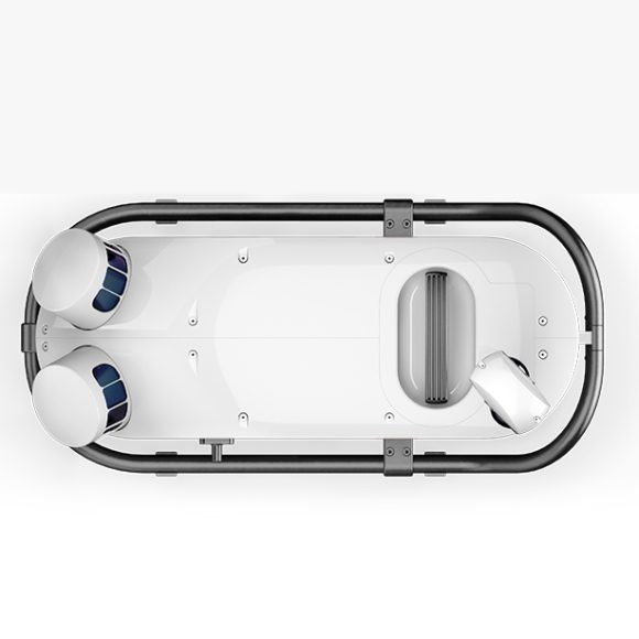
The latest RTC hardware combines high-speed, high-density laser scanning and onboard storage with a more rugged IP55-rated design to handle the most dynamic job sites.
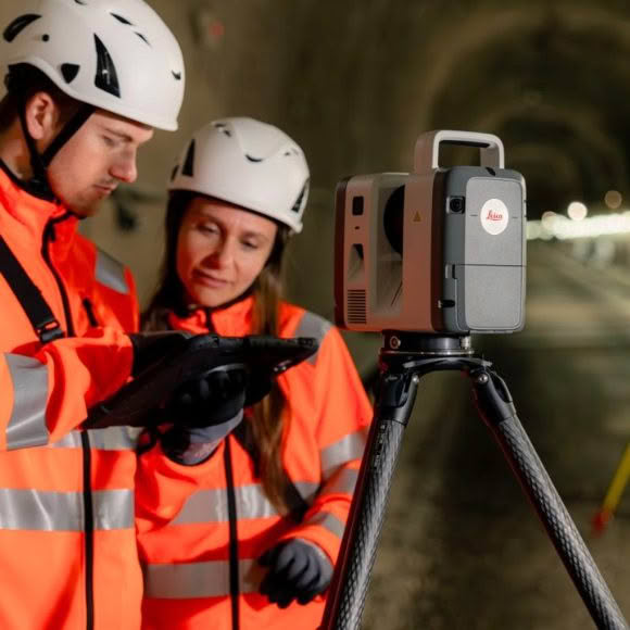
Field-to-office collaboration
Livelink in Leica Cyclone FIELD 360 eliminates site revisits while work is still unfolding by connecting field and office teams through Hexagon GeoCloud.
Faster data visualisation
VIS technology automatically registers scans in the field, turning captured reality into full, usable datasets — ready for BIM, CAD, and the visualisation tools you already use.
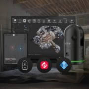
Built for the way you already work
RTC fits the software ecosystem your teams use today — connect to Hexagon GeoCloud, Cyclone, Autodesk Revit, and other CAD/BIM tools without switching workflows.
| Category | Feature | RTC300 | RTC500 | RTC700 |
|---|---|---|---|---|
| Distance Measurement | Max range | 85 m | 130 m | 270 m |
| Max scan rate | 1 mio pts/sec | 2 mio pts/sec | 2 mio pts/sec | |
| Resolution | 3 / 6 / 12 / 25 mm @ 10 m | 3 / 6 / 12 / 25 mm @ 10 m | 0.8 / 1.6 / 3 / 6 / 12 / 25 mm @ 10 m | |
| Laser class | 1 | 1 | 1 | |
| Laser wavelength | 1550 nm | 1550 nm | 1550 nm | |
| Tilt sensor | Tilt compensator (3 arcsec) | Tilt compensator (3 arcsec) | Tilt compensator (3 arcsec) | |
| 3D accuracy | 1.5 mm @ 10 m / 3.8 mm @ 50 m | Same | Same | |
| Imaging System | Camera | 12 MP, 6-camera (~432 MP setup) | Same | Same |
| HDR | 5 brackets | 5 brackets | 5 brackets | |
| Image time | ~30 sec | ~30 sec | ~30 sec | |
| Environmental | Operating temp | -20°C to +50°C | Same | Same |
| IP rating | IP55 | IP55 | IP55 | |
| Portability | Weight | 5.6 kg | 5.6 kg | 5.6 kg |
| Size | 121 × 240 × 254 mm | Same | Same |