
Leica Captivate – First 3D User Experience of its Kind
Experience the future of surveying by immersing yourself in the industry’s only touch-technology software, test-driving the world’s first self-learning total station, and bringing live-streamed intelligent cloud-based imagery into the field. You will do things you never thought possible.
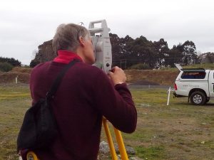
Leica Captivate is an industry-revolutionising field software for a variety of measurement instruments that turns complex data into the most realistic and workable 3D models. With easy-to-use apps and familiar touch technology, all forms of measured and design data can be viewed in all dimensions. Leica Captivate spans industries and applications with little more than a simple swipe, regardless of whether you work with GNSS, total stations or both.
Experience Leica Captivate:
- BIM models and Urban designs loaded into instrumentation and back again.
- New and innovative Total Station & GNSS technology.
- GNSS & Total Station Controllers with BUILT IN range finders, compasses and inclinometers.
- Understand how to leverage a reference station network for Cadastral surveys.
Contact us for a free Demo and experience the power of Leica Captivate.
The Leica Captivate Range:
 |
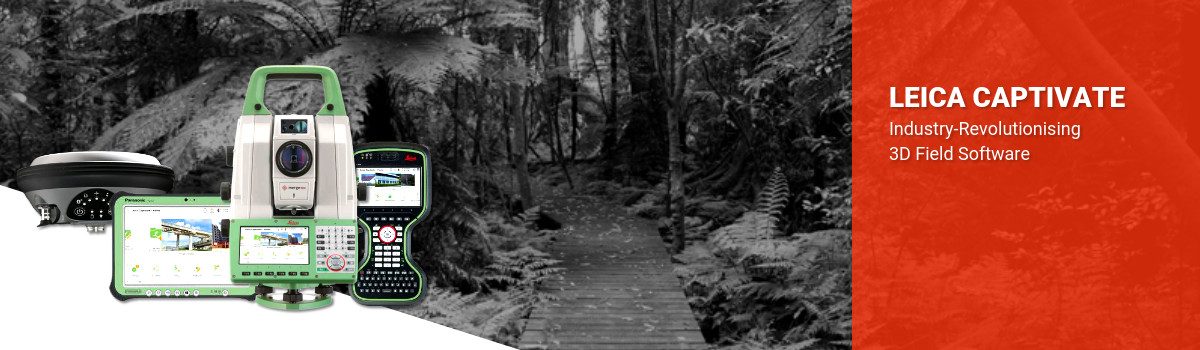
Leica Nova MS60
The world’s first self-learning MultiStation.
|
|
 |
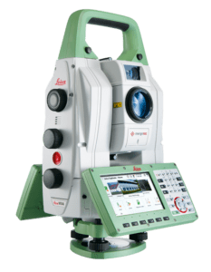
Leica CS20 & CS35
Wider Screen, Clearer Data, Power in Your Hands.
|
|
 |
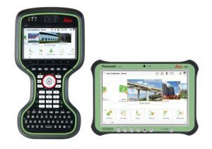
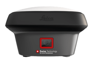
Leica Viva GS16
Self-Learning GNSS Smart Antenna
|
|
 |
Leica GS18 T
World’s fastest and easiest-to-use GNSS RTK
|
|
 |
Leica GS18 I
Versatile, survey-grade GNSS RTK rover with Visual Positioning
|
|
 |
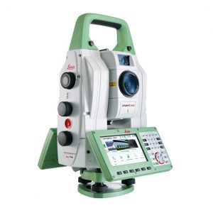
Leica Viva TS16
Self-learning in any application.
|
|
 |
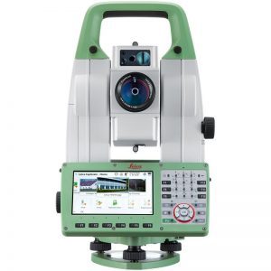
Leica Nova TS60
Intuitive technology for an immersive experience.
|
|
 |
Leica AP20 AutoPole
The world’s first tilt-compensated total station pole solution for construction and surveying professionals
|
Download the Leica Captivate Brochure to learn more about the power of Captivate.
Early Adopters Of Leica Captivate:
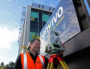 |
“The Leica Captivate solution enables Envivo to make better on site decisions improving the efficiency of our field crews and the quality of our field work. We can now visually check on site the completeness of our job, ensuring that we have captured all the data we need and thus avoiding costly returns to the site. The Captivate hardware along with Global Surveys support solutions also provides Envivo with the technological framework to allow us to cope with the industries changing needs and venture confidently into the exciting world of 3D and BIM.” Mark Finlayson, Survey Director, Envivo Engineering, Surveying & Planning |
 |
“After purchasing Leica Captivate TS16 Robotic, a CS20 Controller and a GS14 GNSS our projects run faster and we are more efficient. Global Survey continues to offer valuable after sales technical support.” Trevor Davey, Licensed Cadastral Surveyor, Latitude Surveying Ltd |
Surveying in the BIM Cycle
“Building Information Management (BIM) is the key that opens the door to a new market, new clients and new opportunities”. Read more of this BIM article [thanks to Richard Harrison from Beca and NZIS Surveying+Spatial magazine].